

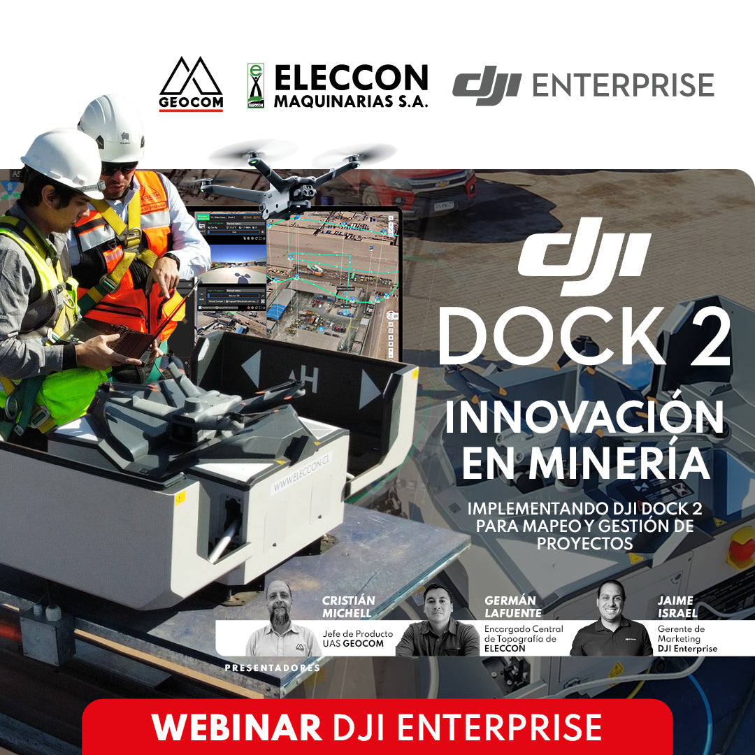
WEBINAR | Innovation in Mining: Implementing DJI Dock 2 for Mapping and Project Management
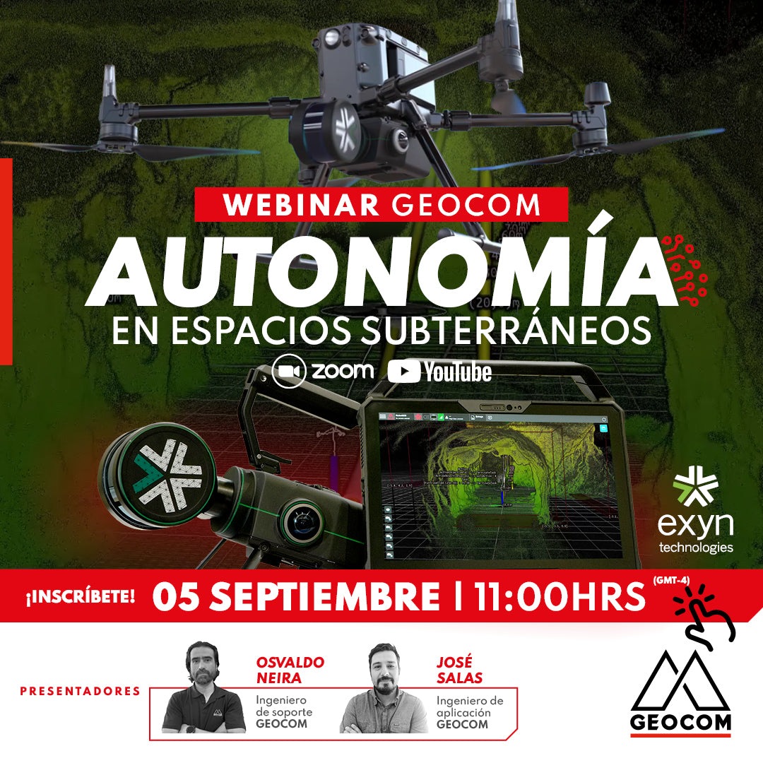
Webinar | Autonomy in underground spaces
THURSDAY, SEPTEMBER 5 | 11:00 AM | VIA ZOOM & YOUTUBE LIVE
Exyn Technology has developed a state-of-the-art geospatial capture system that combines autonomy algorithms with information derived from SLAM. Nexys, a scalable capture system, enables fully autonomous navigation in hard-to-reach areas using an unmanned vehicle.

Webinar | Geospatial 101: Key Concepts
Join us for this webinar if you want to clarify geospatial concepts and understand what types of technologies you can request to solve engineering problems.

Webinar | Scantech: Wireless and markerless scanning
NOW AVAILABLE! | WEB & YOUTUBE
Join us to discover how these advanced technologies can transform your scanning processes, improving the accuracy and efficiency of your workflows. Register now and take your measurement and inspection approach to the next level with SCANTECH's innovative solutions!

WEBINAR GEOCOM | ROBOTIC TOTAL STATIONS IN DIGITAL CONSTRUCTION
NOW AVAILABLE! | GEOCOM WEBSITE & YOUTUBE
We are excited to invite you to our upcoming event, where we will explore the use of robotic total stations for BIM implementation in construction.

BRICSYS WEBINAR | BRICSCAD: TRANSFORM YOUR WORKFLOW FROM 2D TO BIM
TUESDAY 04/02 | 11:00 AM (GMT-3) | VIA ZOOM
During this session, we will address the digital transformation of workflow, moving from 2D tools (drawing) to direct 3D modeling.
After this, we will show what BIM is, what standards it entails, and how to transition from 2D to BIM simply and agilely.

WEBINAR | Importance of the Reference Epoch in GNSS
NOW AVAILABLE! | VIA ZOOM AND YOUTUBE LIVE
Review how RTX can be used to determine positions in SIRGAS-Chile 2021 or how to work with local coordinate systems.
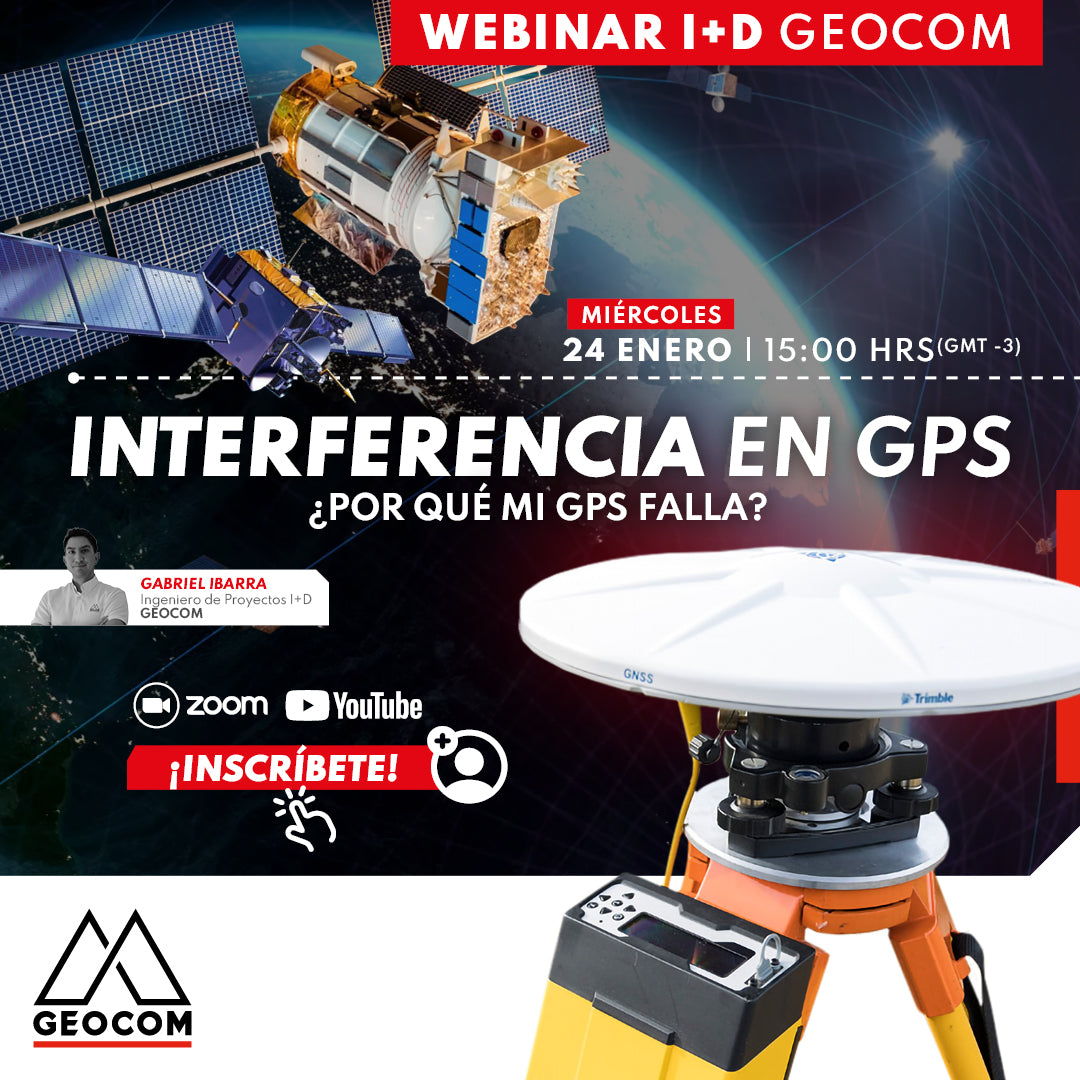
Webinar | GPS interference: Why is my GPS failing?
NOW AVAILABLE!
Interferences exist that can alter the functioning of a GPS. We will analyze different causes such as parasitic signals, RTK channel intrusions, scintillation, jamming and spoofing, along with guiding on how to solve these problems.
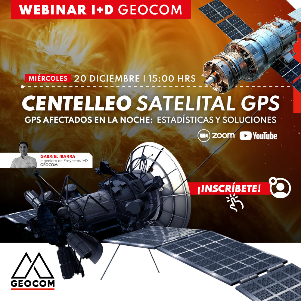
Webinar | GPS Satellite Scintillation: Statistics and Solutions
WEDNESDAY 12/20 - 3:00 PM PST | Zoom & YouTube Live
In this webinar, we will learn about available tools to monitor this phenomenon, understand its impact, know what to expect moving forward, and most importantly: how to solve this problem.

Webinar | Trimble Connect: Connecting People, Technologies, and Information
THURSDAY 10/19 - 3:00 PM EST | Zoom & YouTube Live
Discover how Trimble Connect can help optimize your project management, enhancing task planning and tracking, and ensuring data integrity at all times.
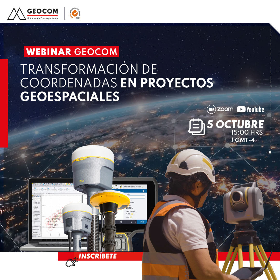
Webinar | Coordinate transformation in geospatial projects
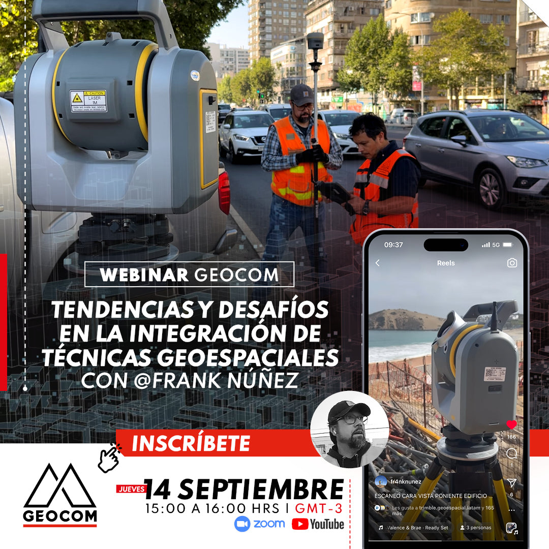
Webinar | Trends and Challenges in Integrating Geospatial Techniques with Frank Núñez
THURSDAY 09/14 - 3:00 PM | Zoom & YouTube Live
In this webinar, we invite you to delve into the cutting edge of geospatial applications, where the convergence of various techniques is revolutionizing the way we represent our environment.
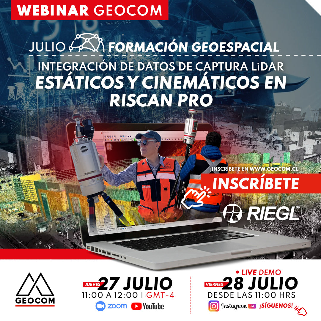
Webinar | Integration of RIEGL Static and Kinematic LiDAR Capture Data in RiSCAN Pro
THURSDAY 27/07 - 11:00 AM (CET) | Zoom, YouTube Live & IG Live
This webinar will review the scope of integrating captures made with RIEGL VZ-i series LiDAR with GNSS for static and kinematic measurements in RiSCAN PRO software, to generate a high-quality point cloud and correct georeferencing
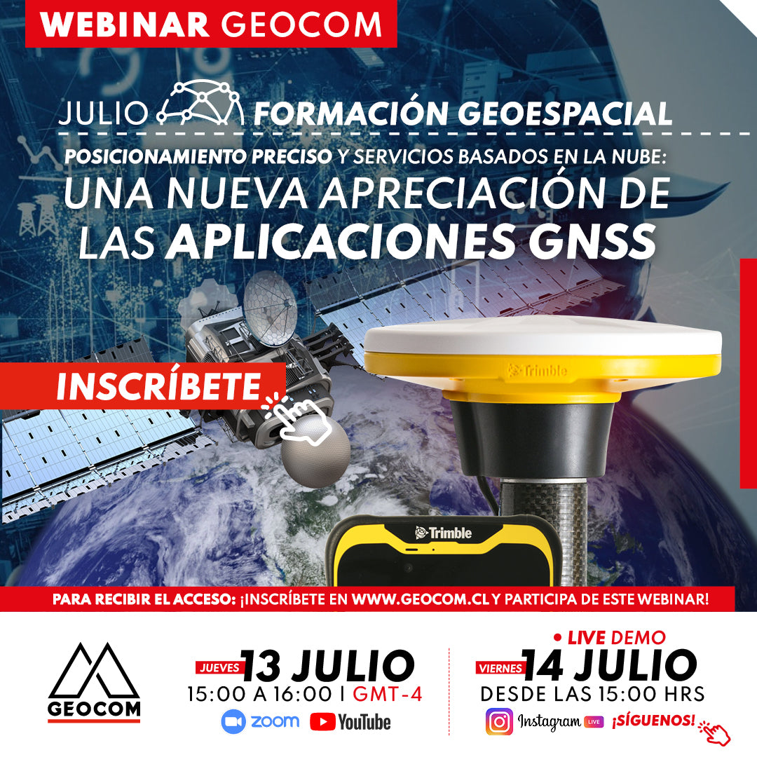
Webinar | A new appreciation for GNSS applications
NOW AVAILABLE!
In this webinar, we will thoroughly explore how advanced Trimble Mobile Manager solutions and the GNSS Echo web platform, developed by Geocom.
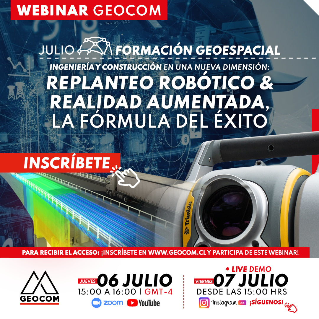
WEBINAR | Robotic layout and augmented reality: the formula for success
NOW AVAILABLE! | Zoom - YouTube Live - Instagram Live
This webinar presents the combination of technologies that enable the development of a planned workflow for accurate staking, early problem detection, and improved communication and collaboration among team members.