

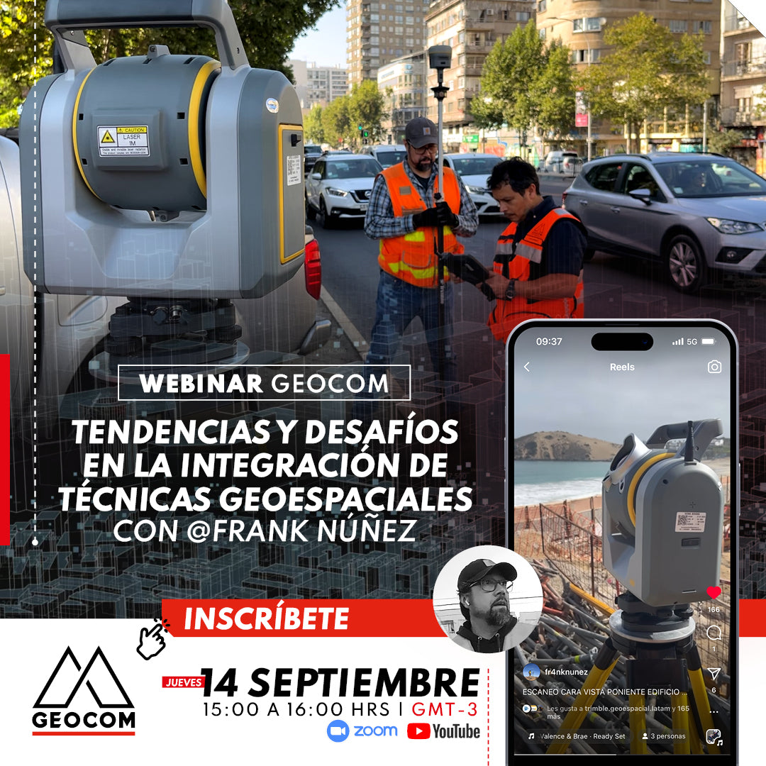

WEBINAR | Trends and Challenges in the Integration of Geospatial Techniques with Frank Núñez
Welcome to the exciting world of geospatial technologies and their current applications. In this webinar, we invite you to delve into the cutting edge of geospatial applications, where the convergence of various techniques is revolutionizing the way we represent our environment.
Frank Nuñez, a prominent surveying professional, will join us to share his vision on the impact of these technologies on today's world and his business. His trajectory includes the practical implementation of geospatial solutions in real-world situations, making him an invaluable resource for understanding how these advanced technologies are transforming the industry. We will discuss his experiences with Trimble SX12, GNSS R12i, and DJI P4RTK.
AGENDA
| ⨭ Field Experiences: You will hear firsthand how these technologies are applied in the field and how they have overcome specific challenges to achieve successful results. |
| ⨭Impactful Case Studies: Through real examples, you will explore how robotic total stations, GNSS, photogrammetry, and drones have merged to generate innovative solutions in various sectors. |
| ⨭ Future Perspectives: You will gain privileged insight into where the geospatial industry is headed and how these technologies will continue to evolve, enabling smarter planning and more informed decision-making. |
| ⨭ Practical Advice: Our expert will share valuable tips for those looking to enter the industry, as well as for professionals who want to make the most of these technologies in their projects. |
INSTRUCTORS

Frank Nuñez | Independent Surveyor

José Carrasco | GNSS & Optics Solutions Specialist
Geomatics Engineer from UTEM. Postgraduate Diploma in Tunnels and Underground Spaces from the University of Chile, Diploma in Information and Communication Technologies for University Teaching from the National Autonomous University of Mexico and UTEM. Specialist in Geodesy and Topography applied to engineering and construction projects for mining infrastructure. He has worked as an Engineer at SHOA and the Vice-presidency of Projects at CODELCO as a Geomatics discipline leader for the Andina project portfolio. Today, as Coordinator of the GEOCOM Support area, integrating geospatial capture techniques into automated deliverables solutions for engineering and construction.

Compartir:
Webinar | Integration of RIEGL Static and Kinematic LiDAR Capture Data in RiSCAN Pro
Webinar | Coordinate transformation in geospatial projects