

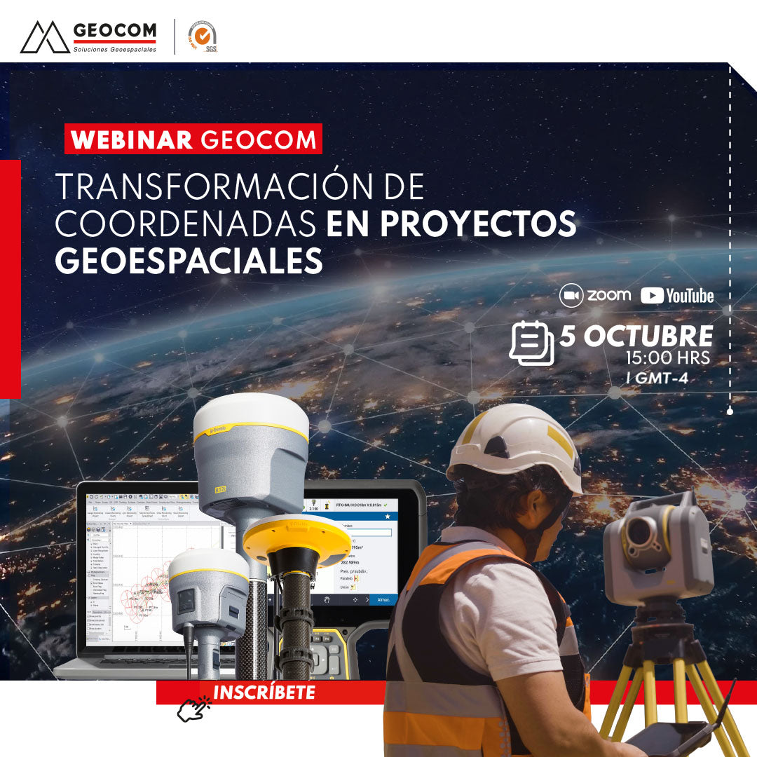

WEBINAR | Coordinate transformation in geospatial projects
 THURSDAY, OCTOBER 5 | 3:00 PM to 4:00 PM (GMT-3) |
VIA ZOOM AND YOUTUBE LIVE
Coordinate transformation has been essential for combining geodetic observations by establishing a relationship between two or more systems. Datum transformation, local calibration, point cloud georeferencing, aerotriangulation referencing all aim to make geometries compatible by establishing functional parameters corresponding to a mathematical model called "transformation."
Join us in this session where theoretical and applied aspects related to coordinate transformation will be covered.
AGENDA
|
⨭ Coordinate systems in TBC and Trimble Access:
|
| ⨭Datum transformation or site calibration? |
| ⨭ Vertical adjustment surfaces |
|
⨭ Application examples
|
INSTRUCTORS

Ariel Silva | GEOCOM Support and Presales Manager

Felipe Carvajal | GEOCOM Application Engineer

Compartir:
Webinar | Trends and Challenges in Integrating Geospatial Techniques with Frank Núñez
Webinar | Trimble Connect: Connecting People, Technologies, and Information