


WEBINAR | Importance of the Reference Epoch in GNSS
NOW AVAILABLE! | VIA ZOOM AND YOUTUBE LIVE
Review how RTX can be used to determine positions in SIRGAS-Chile 2021 or how to work with local coordinate systems.
Webinar | GPS interference: Why is my GPS failing?
NOW AVAILABLE!
Interferences exist that can alter the functioning of a GPS. We will analyze different causes such as parasitic signals, RTK channel intrusions, scintillation, jamming and spoofing, along with guiding on how to solve these problems.
Webinar | GPS Satellite Scintillation: Statistics and Solutions
WEDNESDAY 12/20 - 3:00 PM PST | Zoom & YouTube Live
In this webinar, we will learn about available tools to monitor this phenomenon, understand its impact, know what to expect moving forward, and most importantly: how to solve this problem.
Webinar | Coordinate transformation in geospatial projects
Webinar | Trends and Challenges in Integrating Geospatial Techniques with Frank Núñez
THURSDAY 09/14 - 3:00 PM | Zoom & YouTube Live
In this webinar, we invite you to delve into the cutting edge of geospatial applications, where the convergence of various techniques is revolutionizing the way we represent our environment.
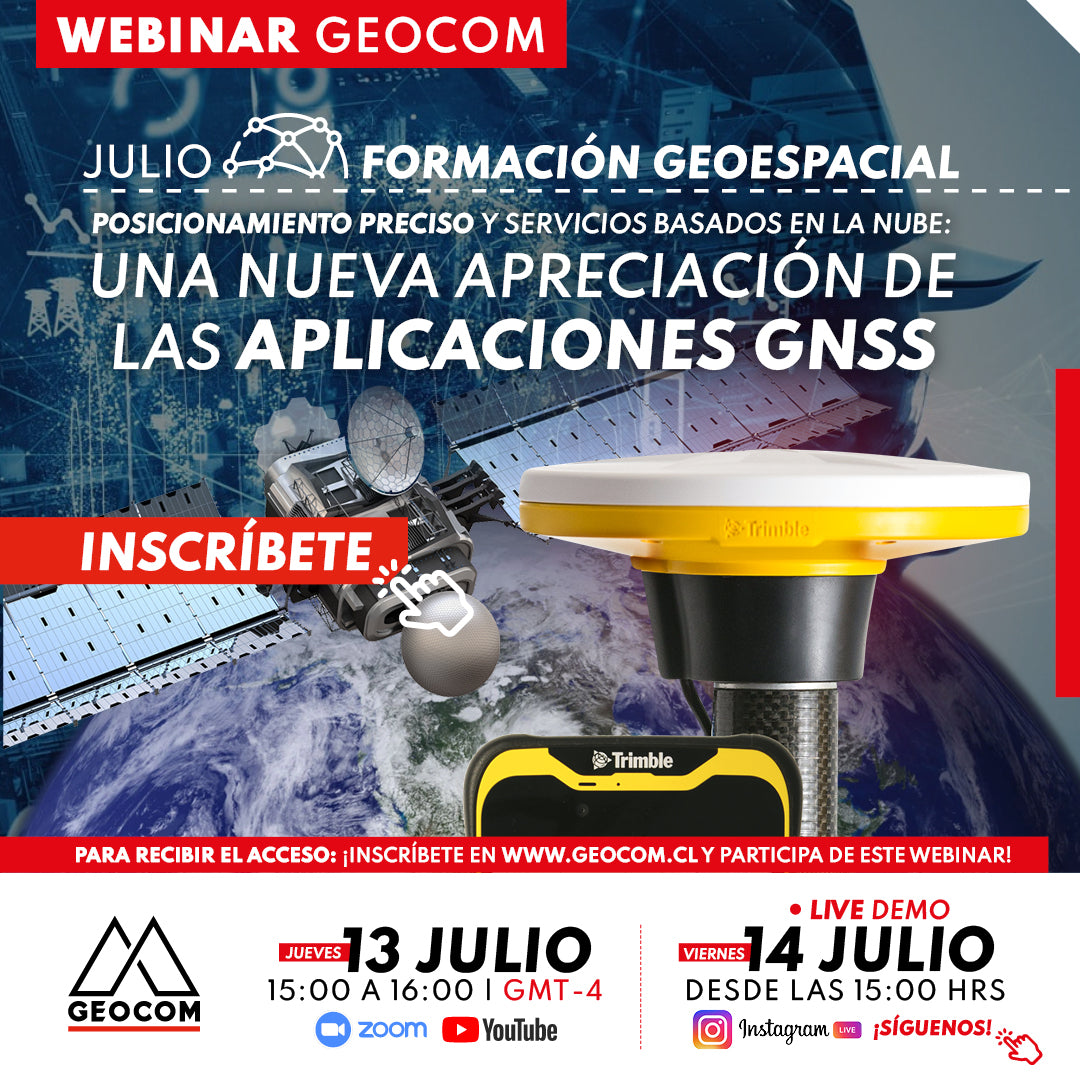
Webinar | A new appreciation for GNSS applications
NOW AVAILABLE!
In this webinar, we will thoroughly explore how advanced Trimble Mobile Manager solutions and the GNSS Echo web platform, developed by Geocom.
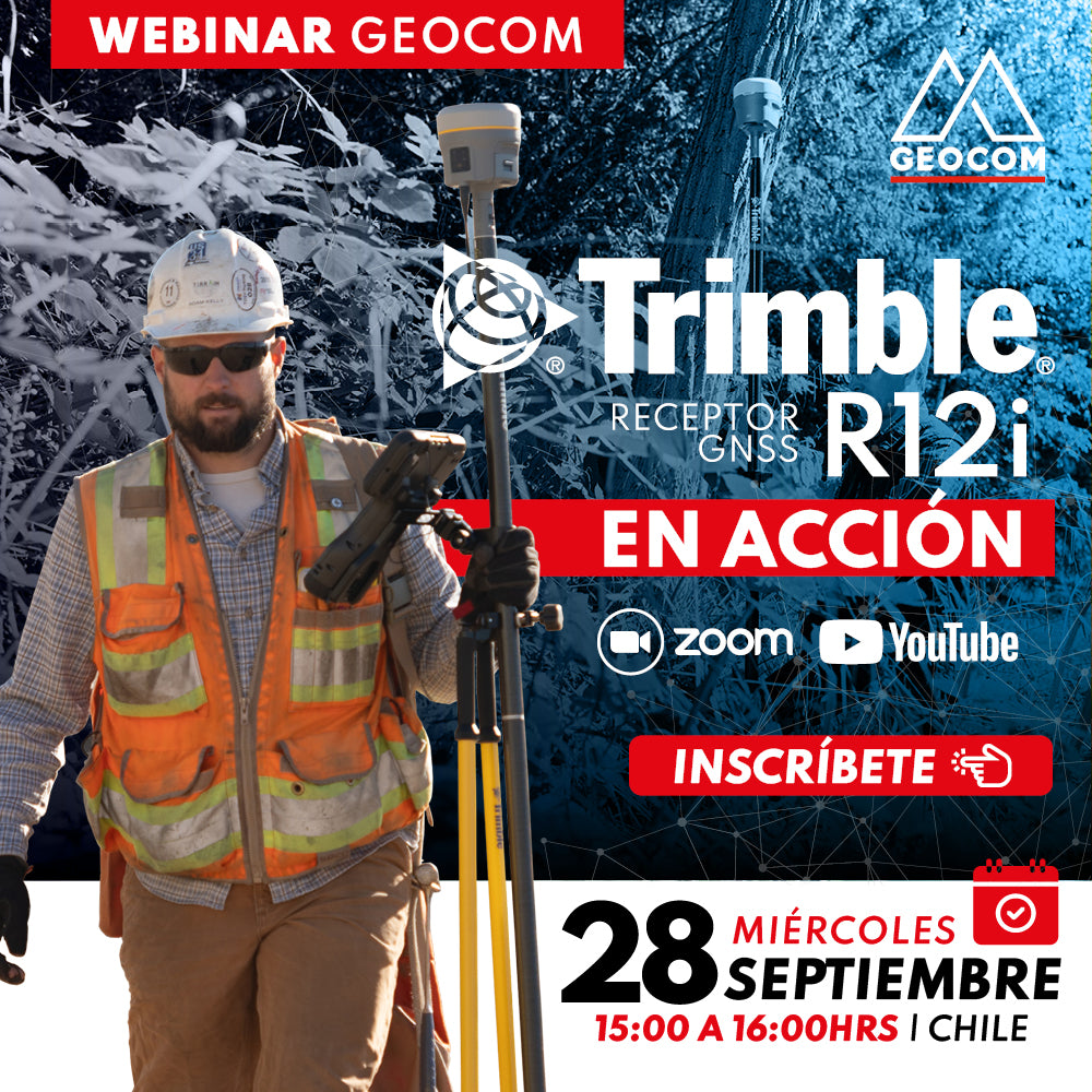
Webinar | Trimble R12i in action
NOW AVAILABLE! | Geocom.cl & YouTube
Join us in this webinar to review some R12i applications in different industries.
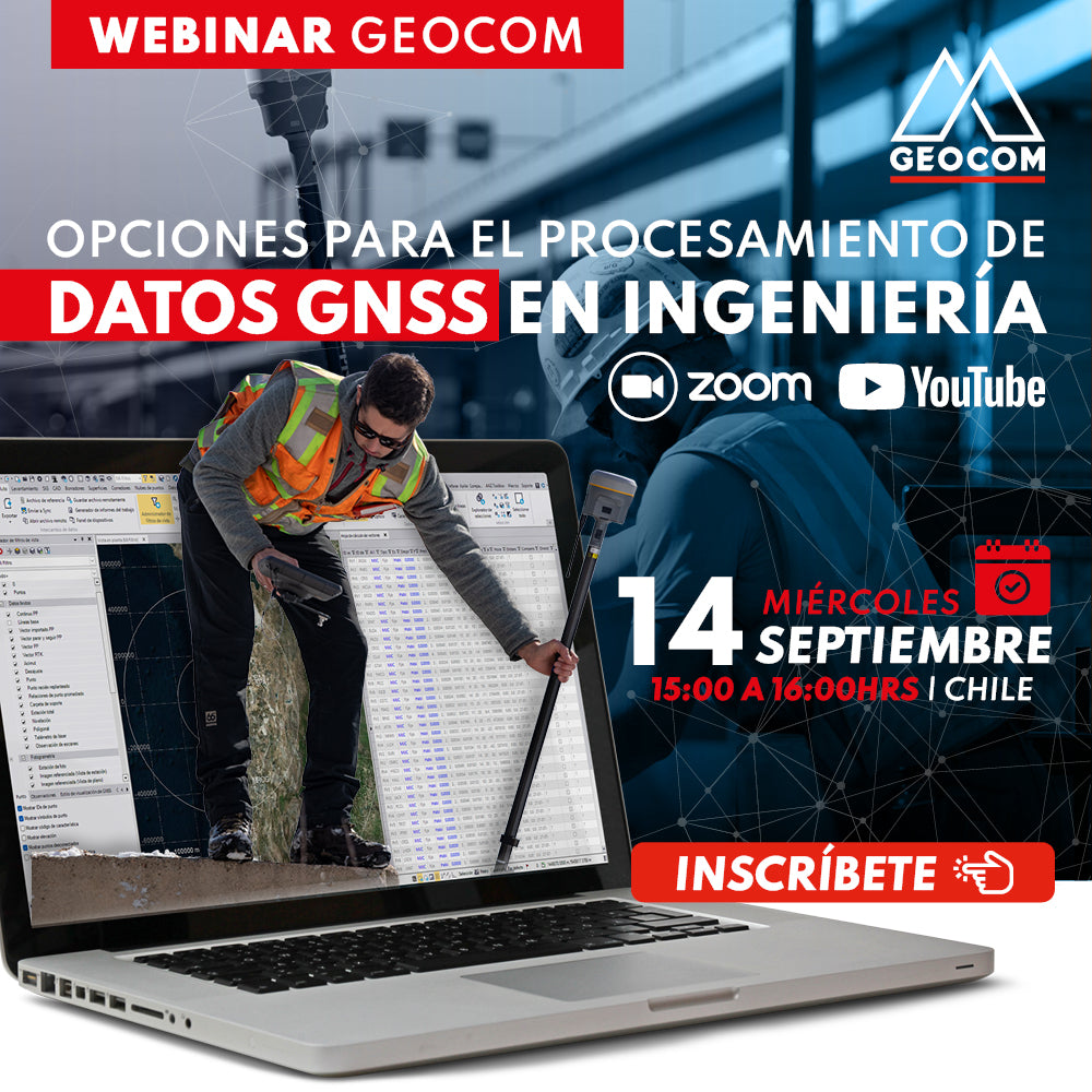
Webinar | Options for GNSS Data Processing in Engineering
WATCH NOW! | Geocom and YouTube
Introduction to the main GNSS data processing strategies in Trimble Business Center, with the aim of determining very high precision geodetic positions.

WEBINAR | Trimble Business Center Overview
Are you interested in software that centralizes a variety of geospatial observation instruments? Are you still working with geospatial data on different platforms?

WEBINAR | Exploring the features of Trimble SiteVision
Understand how the integration of high-precision GNSS, an electronic distance meter, and the native sensors of a high-end smartphone will allow you to solve problems associated with the execution of an engineering project.