

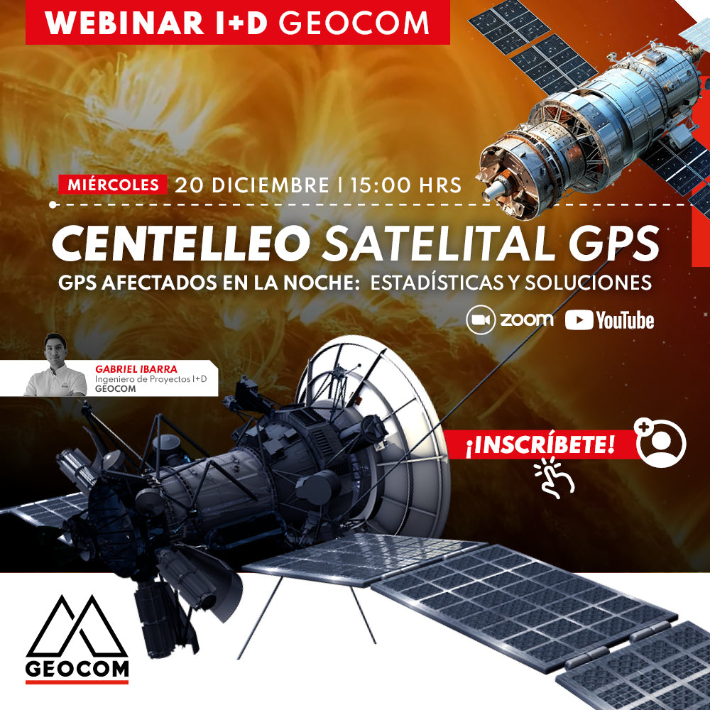

GEOCOM R&D WEBINAR | GPS Satellite Scintillation
GPS affected at night: Statistics and solutions
High-precision GPS navigation has become unstable and erratic for shifts operating at night from the 1st to 4th regions. In this webinar, we will learn about the tools available to track this phenomenon, understand how it has been affecting operations, know what to expect from now on, and most importantly: how to solve this problem.

 WEDNESDAY, DECEMBER 20 | 3:00 PM TO 4:00 PM (GMT-3) | VIA ZOOM & YOUTUBE LIVE
AGENDA
| ⨭ Space weather and its impact |
| ⨭ How scintillation occurs |
| ⨭ Where, when, and for how long |
| ⨭ Live scintillation tracking |
| ⨭ Early warning |
| ⨭ Solutions: Ionoguard / XFill RTX |
INSTRUCTOR

Gabriel Ibarra | GEOCOM R&D Project Engineer
A Civil Electrical Engineer, he leads Geocom's Research and Development team.
Together with his team, he has implemented navigation systems for various types of machines such as snowplows for road clearing in winter operations, structural cranes for port work, and also for pre-split and drill rigs. They have developed online support platforms for fleets of autonomous mining machinery in various mines. Likewise, the R&D team has developed advanced control systems for Reference Stations and is currently working on implementing automation for Lidar systems.

Compartir:
Webinar | Trimble Connect: Connecting People, Technologies, and Information
Webinar | GPS interference: Why is my GPS failing?