

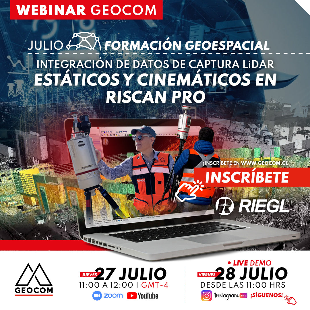
Webinar | Integration of RIEGL Static and Kinematic LiDAR Capture Data in RiSCAN Pro
THURSDAY 27/07 - 11:00 AM (CET) | Zoom, YouTube Live & IG Live
This webinar will review the scope of integrating captures made with RIEGL VZ-i series LiDAR with GNSS for static and kinematic measurements in RiSCAN PRO software, to generate a high-quality point cloud and correct georeferencing
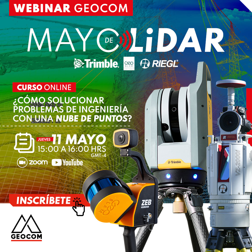
LiDAR Webinar | How to solve engineering problems with a point cloud?
NOW AVAILABLE! | GEOCOM.CL AND YOUTUBE
LiDAR technology and its correct implementation can be key allies in achieving high standards of productivity, representativeness, and quality of results.
WEBINAR | Success Stories with GENIUS Mini UAV LiDAR System
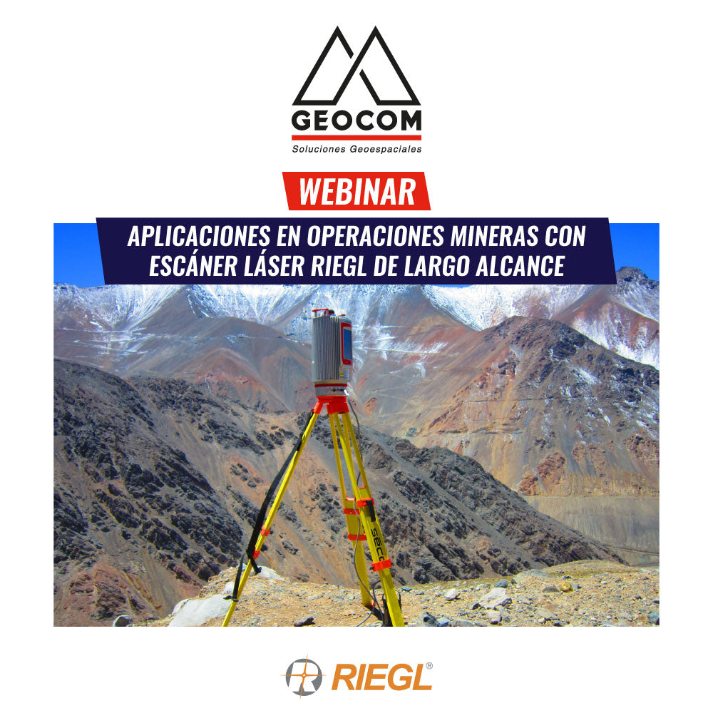
Webinar | Applications in Mining Operations with RIEGL Long-Range Laser Scanners
Laser scanner tools – LiDAR technology, have advanced in technological development and are present in various types of applications, providing a very detailed and highly accurate 3D Geospatial representation of study areas.

TRW Webinar | Generation of Topographic Products from Massive LiDAR Data