


Laser scanner tools – LiDAR technology – have advanced in technological development and are present in various types of applications, providing a very detailed 3D Geospatial representation with high levels of precision of the study areas.
This is why we can find this technology present in engineering projects, Open Pit/Underground Mining projects, industrial applications, and glacier monitoring projects.
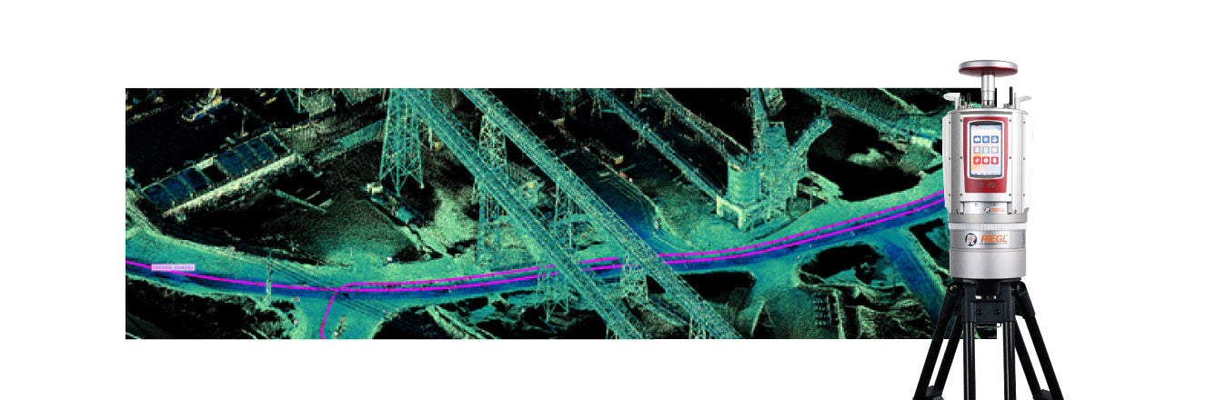
Terrestrial laser scanner technology allows obtaining a 3D spatial representation of the zones or areas of interest, enabling the capture of millions of spatially distributed points, and being able to represent the shape of the object of study with high precision.
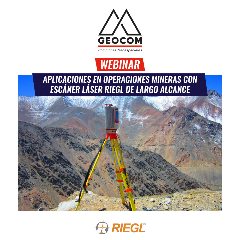
In this webinar, we will discuss how massive capture techniques using Riegl LiDAR are present in Open Pit mining projects and the new tools available to face the existing challenges in the mining process workflow.
Agenda
- Current status of RIEGL LiDAR technology and its presence in the mining process workflow
- Applications in Open-Pit Mining
- Automation of processes in capturing and monitoring control zones
- Mining APPs VZ-i series – Customization of reports and on-board capture workflows
Speaker
DAVID SANTOS CARVALLO
Geospatial Engineer from the University of Santiago, Chile, expert in the use of laser scanner technologies. Since 2005, he has participated in various integration and implementation projects of this technology in different areas of the industry, with great emphasis and work in the context of Mining.
Compartir:
Webinar | Multispectral and Thermal Sensors in Agriculture
Webinar | Metashape, Photogrammetric Processing and Geospatial Product Generation