

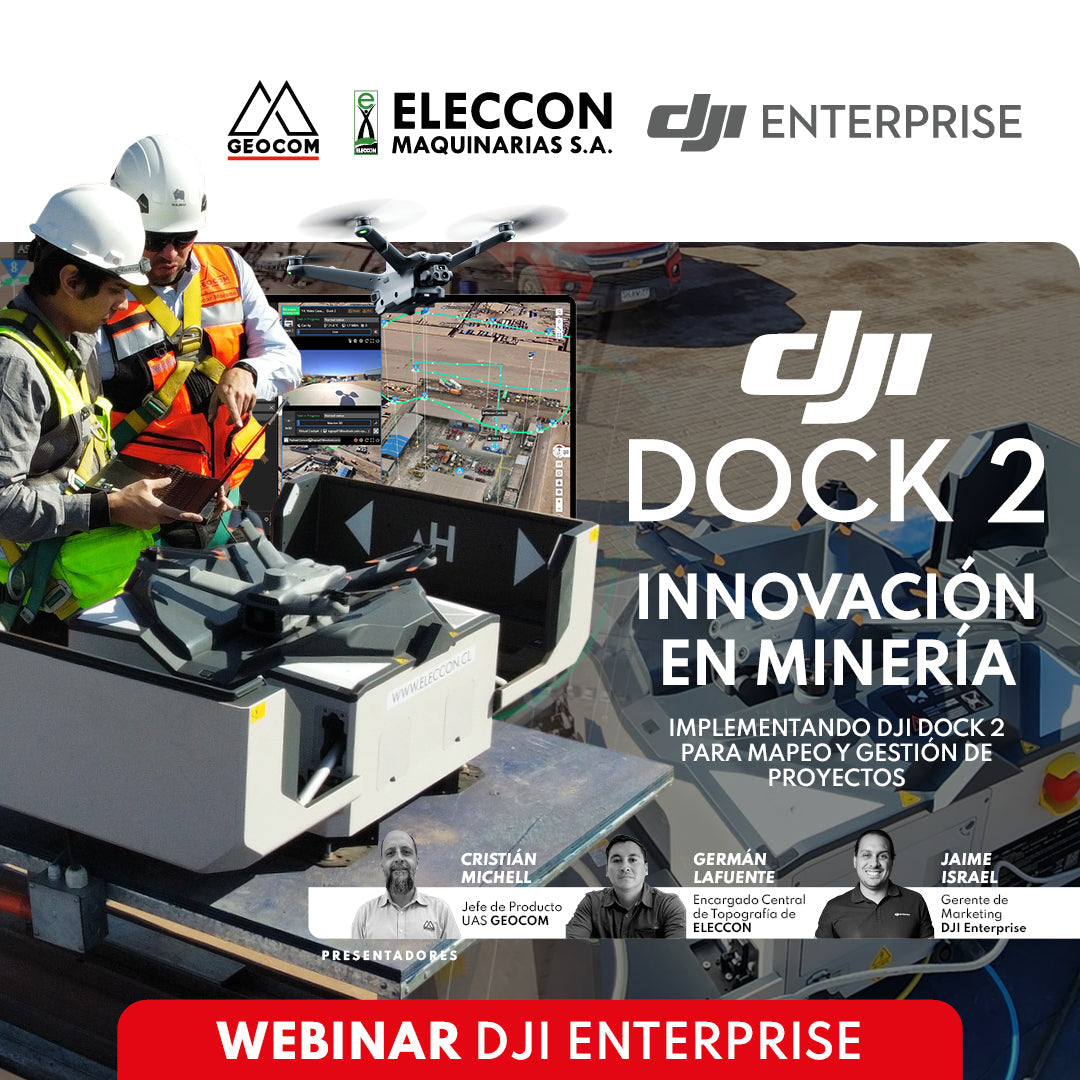
WEBINAR | Innovation in Mining: Implementing DJI Dock 2 for Mapping and Project Management
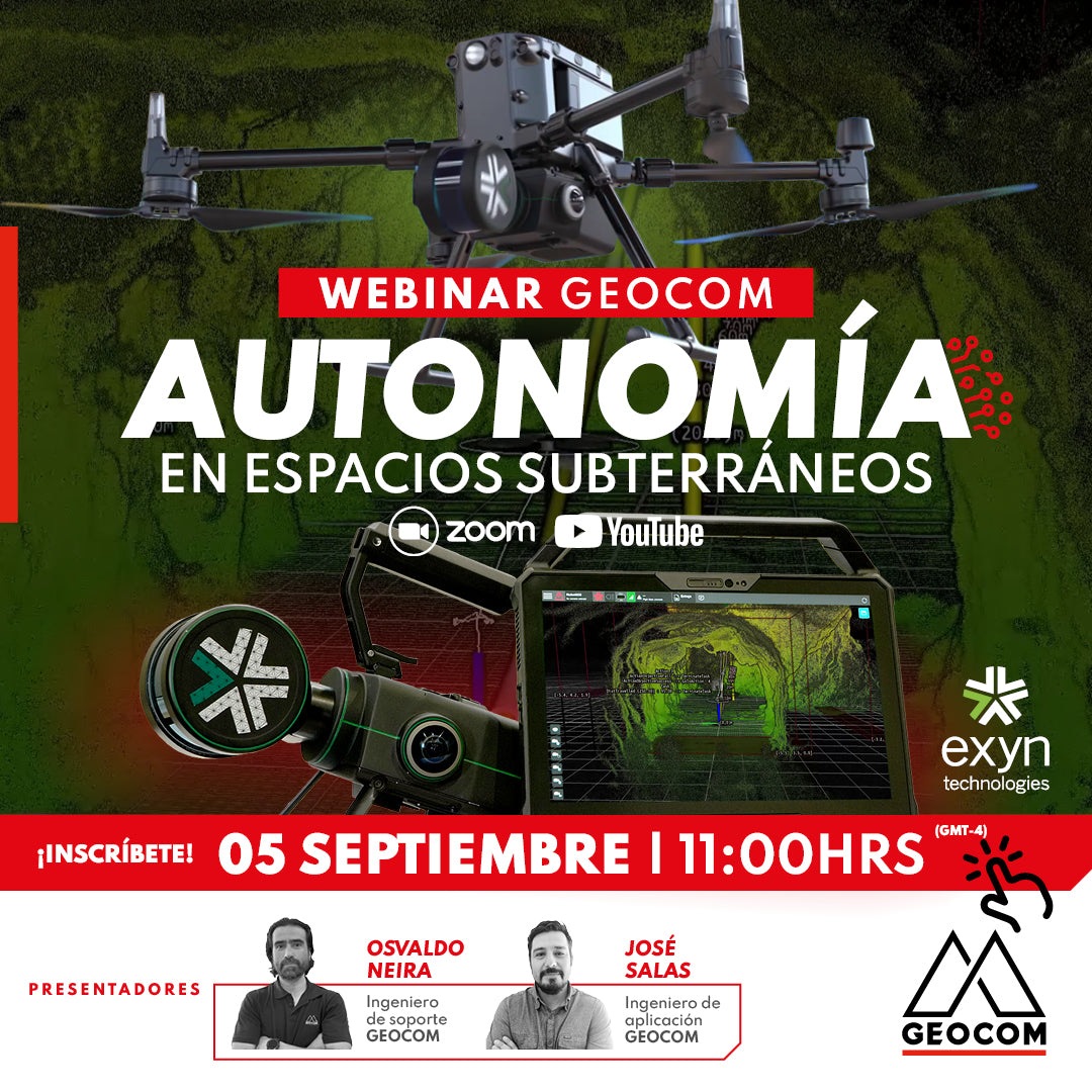
Webinar | Autonomy in underground spaces
THURSDAY, SEPTEMBER 5 | 11:00 AM | VIA ZOOM & YOUTUBE LIVE
Exyn Technology has developed a state-of-the-art geospatial capture system that combines autonomy algorithms with information derived from SLAM. Nexys, a scalable capture system, enables fully autonomous navigation in hard-to-reach areas using an unmanned vehicle.
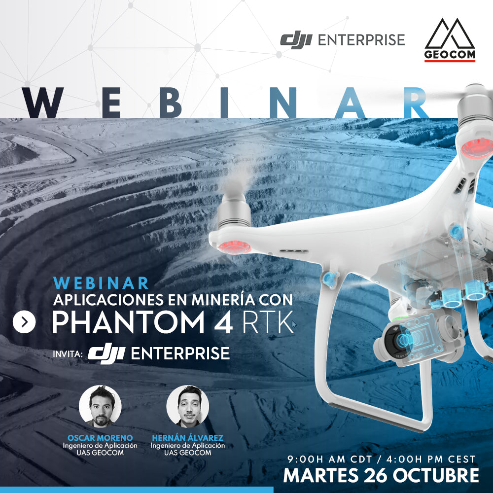
Mining Applications with DJI Phantom 4 RTK
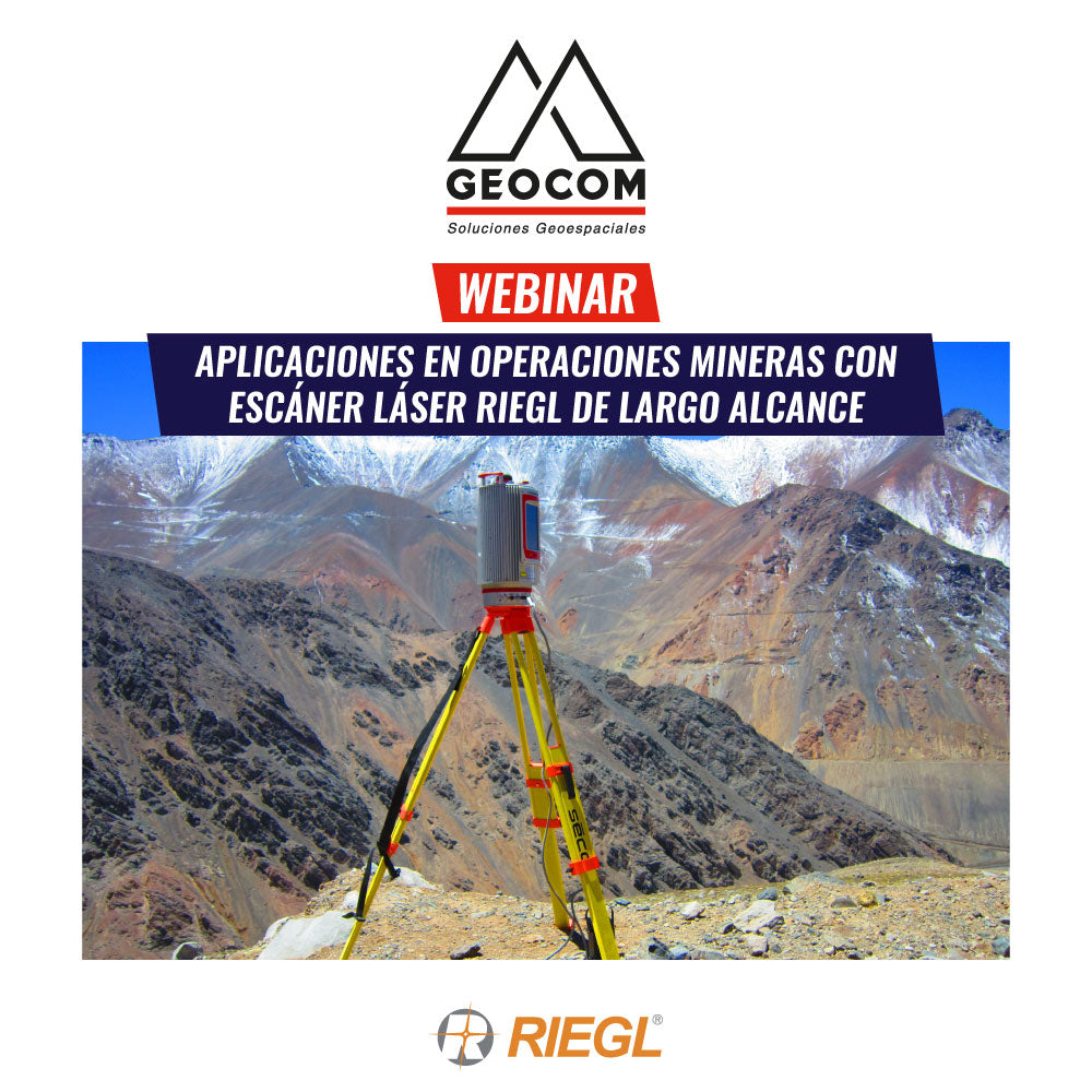
Webinar | Applications in Mining Operations with RIEGL Long-Range Laser Scanners
Laser scanner tools – LiDAR technology, have advanced in technological development and are present in various types of applications, providing a very detailed and highly accurate 3D Geospatial representation of study areas.