

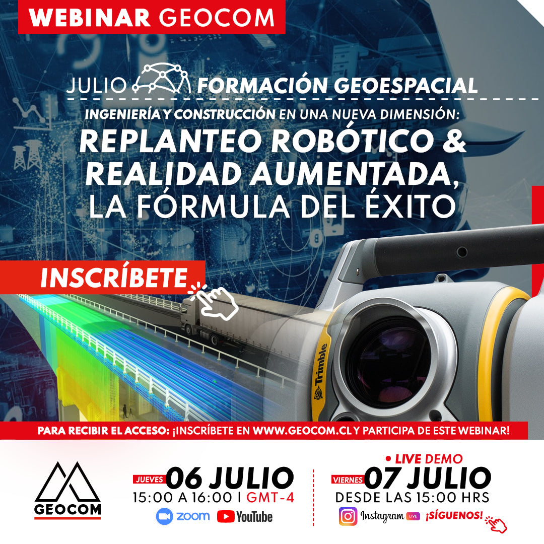

JULY GEOSPATIAL TRAINING WEBINAR | Robotic Layout & Augmented Reality, The Formula for Success
Robotic layout with augmented reality using Trimble SX12, Trimble Access, and Trimble Connect is an innovative methodology that transforms the design materialization process. Trimble SX12 is a scanning total station that combines point clouds and TOPO points (from a total station or GNSS). With augmented reality, topographic and design data are overlaid in real-time onto the physical view, facilitating precise on-site layout and the detection of potential issues before project execution.
Trimble Connect is a collaborative cloud platform that streamlines the management of data collected during the layout, enabling efficient collaboration among team members, both in the office and on site.
This Webinar presents the combination of technologies that allow for the development of a planned workflow for accurate layout, early problem detection, and improved communication and collaboration among team members. Additionally, cloud data management streamlines information flow and facilitates informed decision-making, ensuring project efficiency and quality.

 THURSDAY, JULY 06 | 3:00 PM TO 4:00 PM - GMT-4 | VIA ZOOM & YOUTUBE LIVE
FRIDAY, JULY 07 | 3:00 PM | VIA INSTAGRAM LIVE FOLLOW US!
AGENDA
| ⨭ Industry and productivity |
| ⨭ Fundamentals for topographic layout |
| ⨭ What is a robotic total station? |
| ⨭ Geospatial coordination workflow for engineering and construction |
| ⨭ Trimble Connect |
| ⨭ Robotics and monitoring |
| ⨭ Layout for engineering and construction |
| ⨭ Traditional layout with total station and GNSS |
| ⨭ Augmented reality in engineering projects |
| ⨭ Robotic layout with augmented reality |
INSTRUCTORS

José Carrasco | GNSS & Optics Solutions Specialist
Execution Engineer in Geomatics from UTEM with 21 years of experience. Postgraduate Diploma in Tunnels and Underground Spaces from the University of Chile, Diploma in Information and Communication Technologies for University Teaching from the National Autonomous University of Mexico and UTEM. Specialist in Geodesy and Topography applied to engineering and construction projects for mining infrastructure. He has served as an Engineer at SHOA and CODELCO VP as the Geomatics discipline leader for the Andina Project Portfolio, currently as Coordinator of the GEOCOM Support area, integrating geospatial capture techniques into automated deliverable solutions for engineering and construction. Professor at Santo Tomás University for the careers of Civil Mining Engineering and Geology.

Sebastián Pérez | Geocom Application Engineer
Execution Engineer in Geomatics from the University of Santiago de Chile, with 8 years of experience, he has specialized in LiDAR technology for terrestrial solutions. Also in point cloud processing software. He has extensive experience in the use of Optical and GNSS solutions.

Compartir:
RIEGL LiDAR Webinar | How to Convert a Terrestrial Scanner to Kinematic?
Webinar | A new appreciation for GNSS applications