


TRW Webinar | Generation of Topographic Products from Massive LiDAR Data
The aim of this Webinar is to demonstrate a topographic workflow to quickly and reliably obtain products from massive data capture using LiDAR equipment.
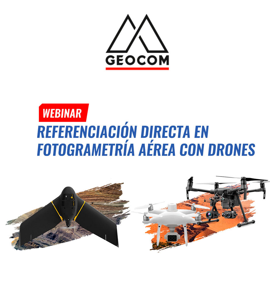
GEOCOM Webinar | Direct georeferencing in aerial photogrammetry with drones.
Learn about aerial photogrammetry, direct georeferencing, types of drones equipped with GNSS or GNSS+IMU, among other topics, with our GEOCOM engineers.

Webinar | Augmented Reality in Infrastructure Projects
Today it's possible to bring your BIM models to life thanks to Trimble technology. Learn about the technologies and techniques that will allow you to visualize, measure, collaborate, and assign tasks in the field simply and quickly.

Webinar | Why invest in a robotic total station?
Robotic total stations not only allow for increased productivity, but also for performing tasks that would be impossible to execute with other techniques.