

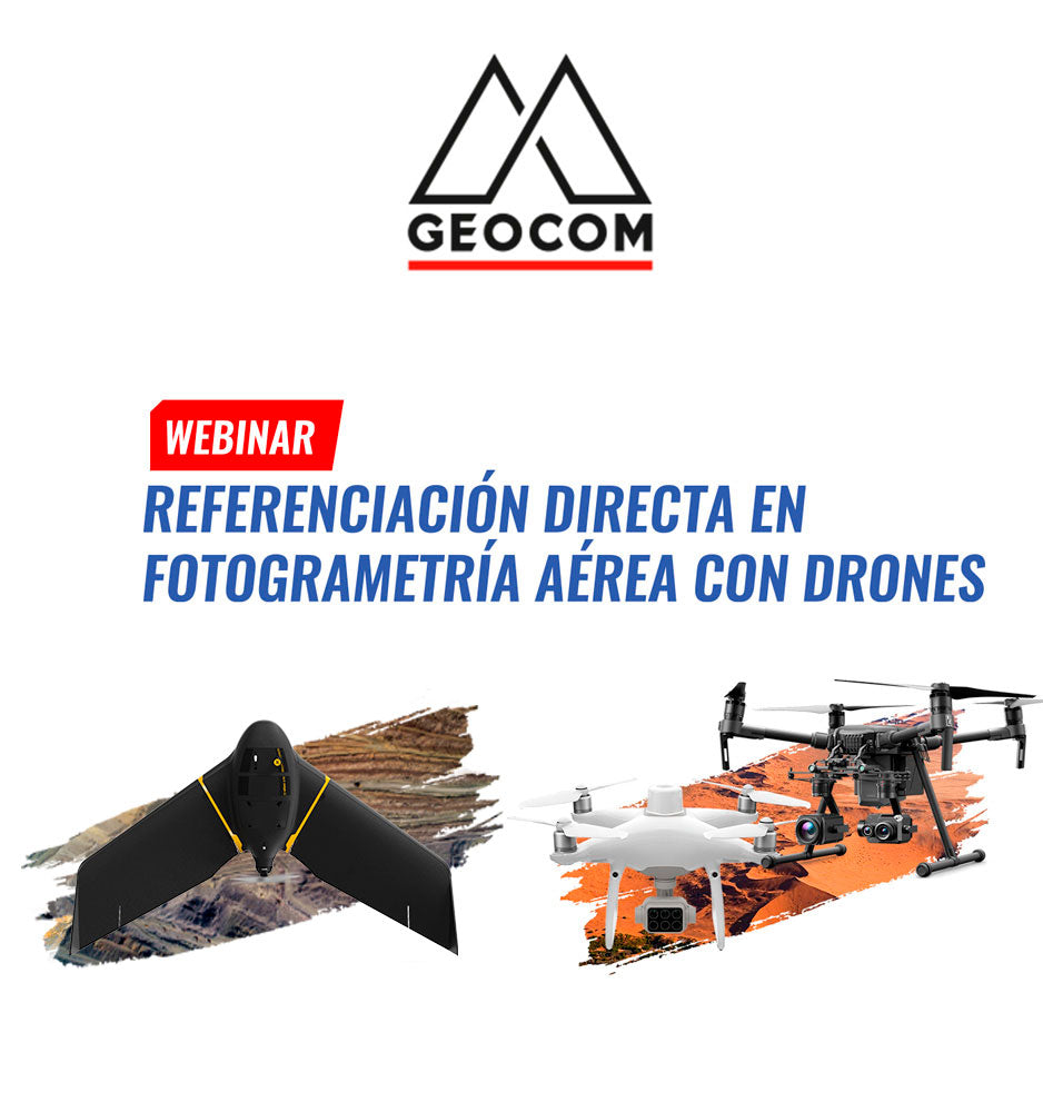
Webinar | Direct Georeferencing in Aerial Drone Photogrammetry
Is it possible to do aerial photogrammetry without ground control points? Is there a loss of precision in the aerotriangulated block? These are some questions that will be answered in this webinar.
Direct georeferencing in photogrammetry has contributed significantly to increasing productivity in a variety of activities, without sacrificing precision. Review the different options of drones equipped with GNSS or GNSS+IMU, which allow directly determining the camera's pose, either completely or incompletely, along with the photogrammetric processing workflow.
Compartir:
Webinar | Augmented Reality in Infrastructure Projects
TRW Webinar | Generation of Topographic Products from Massive LiDAR Data