


Webinar | Direct RTK Referencing in Drones
WATCH NOW! | Geocom.cl and YouTube
Boosting the use of direct RTK referencing in DJI systems, highlighting its main strengths and considerations for obtaining high-quality and precise products
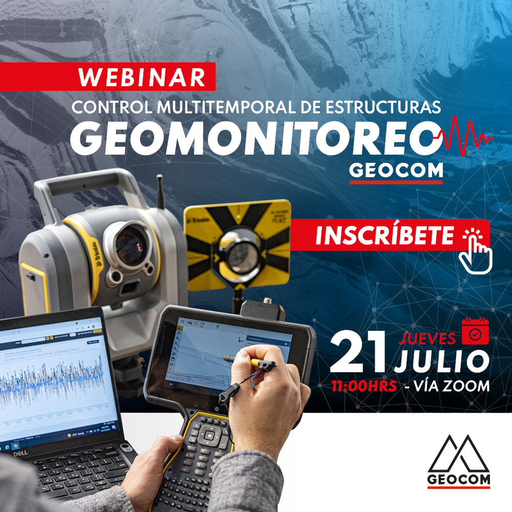
Webinar | Geomonitoring: Multitemporal Control of Structures
WATCH NOW! | Zoom – YouTube Live
Geomonitoring provides a large volume of heterogeneous data that, when made compatible, provides valuable information about the structural health of an engineering work or a natural structure.
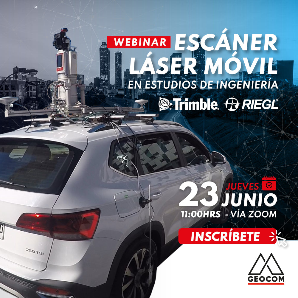
Webinar | Mobile Laser Scanning Application in Engineering Studies
Now available!
Mobile Mapping technology provides us with a faithful representation of reality and also allows us to capture data with equipment in motion.