


Webinar | Geospatial 101: Key Concepts
Join us for this webinar if you want to clarify geospatial concepts and understand what types of technologies you can request to solve engineering problems.
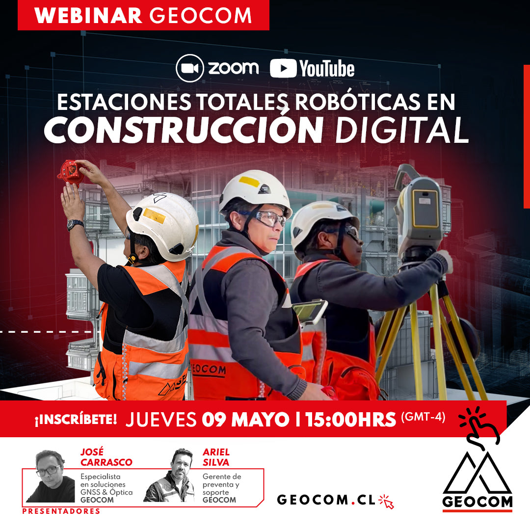
WEBINAR GEOCOM | ROBOTIC TOTAL STATIONS IN DIGITAL CONSTRUCTION
NOW AVAILABLE! | GEOCOM WEBSITE & YOUTUBE
We are excited to invite you to our upcoming event, where we will explore the use of robotic total stations for BIM implementation in construction.

WEBINAR | Importance of the Reference Epoch in GNSS
NOW AVAILABLE! | VIA ZOOM AND YOUTUBE LIVE
Review how RTX can be used to determine positions in SIRGAS-Chile 2021 or how to work with local coordinate systems.

Webinar | Trimble Connect: Connecting People, Technologies, and Information
THURSDAY 10/19 - 3:00 PM EST | Zoom & YouTube Live
Discover how Trimble Connect can help optimize your project management, enhancing task planning and tracking, and ensuring data integrity at all times.
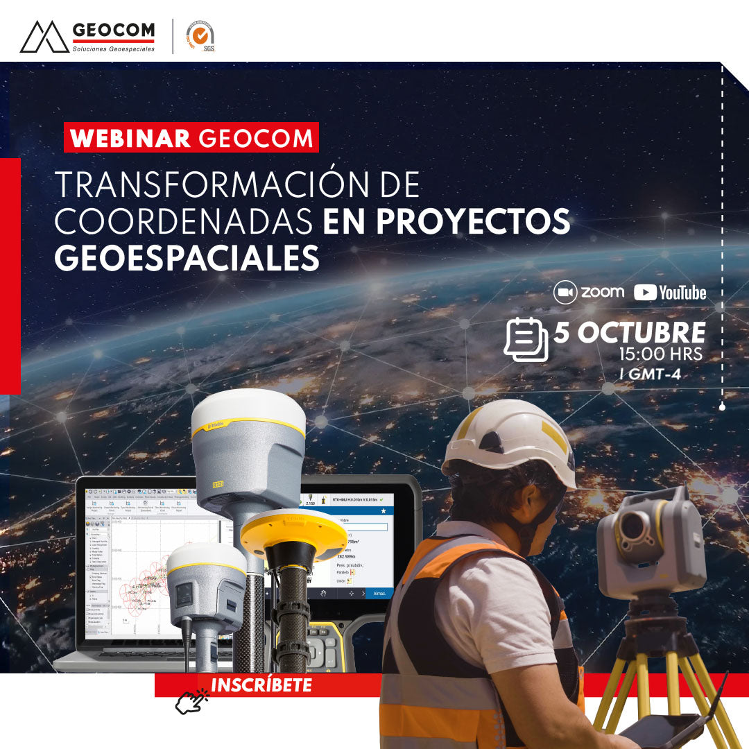
Webinar | Coordinate transformation in geospatial projects
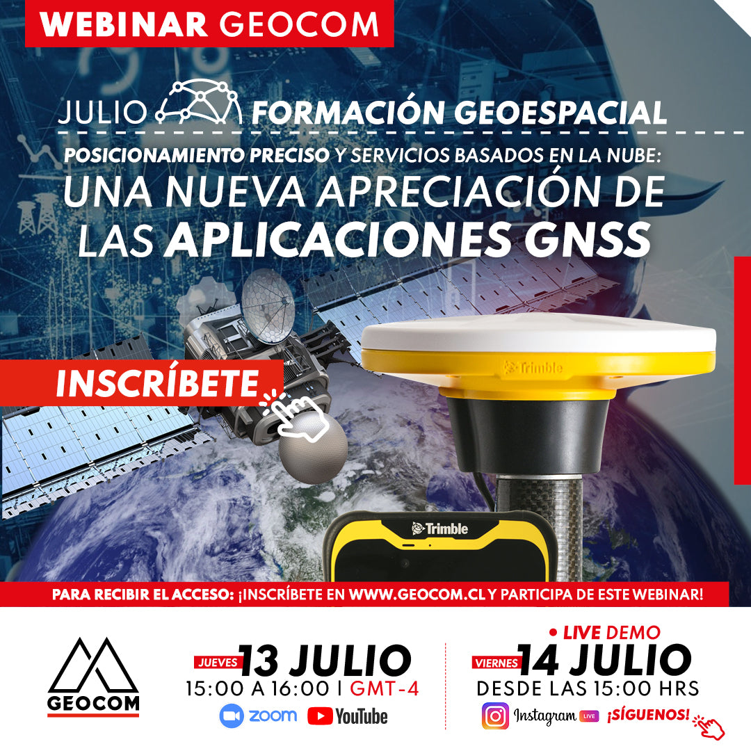
Webinar | A new appreciation for GNSS applications
NOW AVAILABLE!
In this webinar, we will thoroughly explore how advanced Trimble Mobile Manager solutions and the GNSS Echo web platform, developed by Geocom.
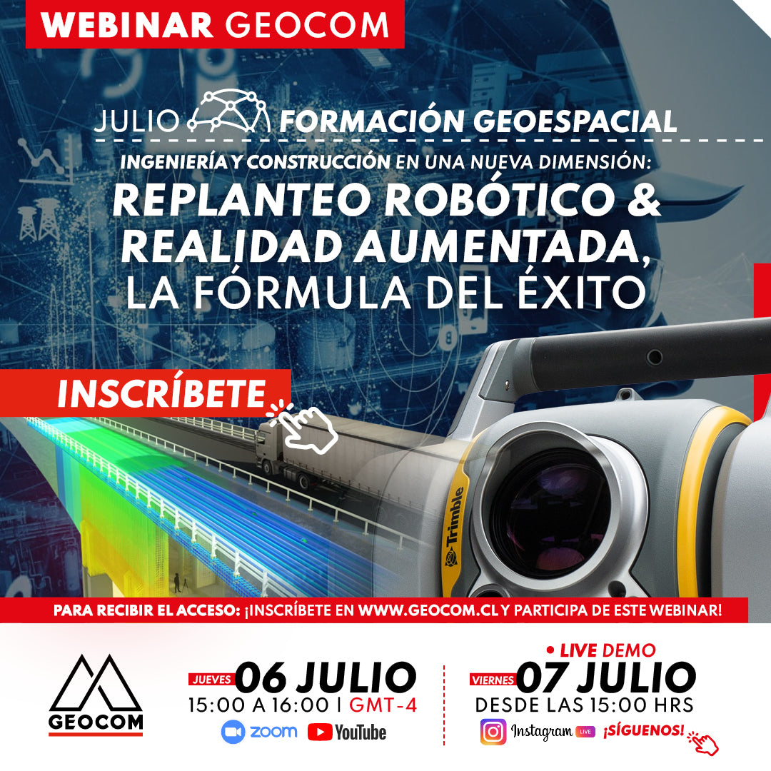
WEBINAR | Robotic layout and augmented reality: the formula for success
NOW AVAILABLE! | Zoom - YouTube Live - Instagram Live
This webinar presents the combination of technologies that enable the development of a planned workflow for accurate staking, early problem detection, and improved communication and collaboration among team members.
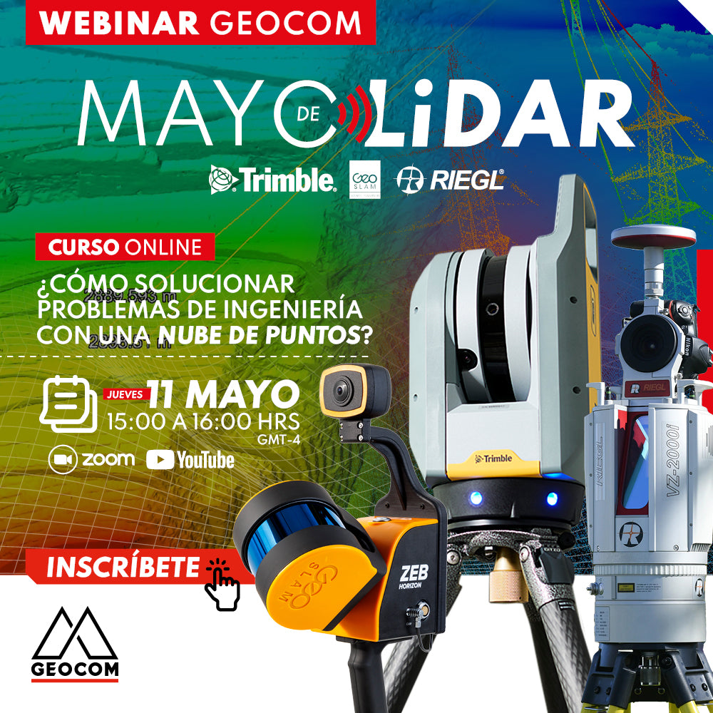
LiDAR Webinar | How to solve engineering problems with a point cloud?
NOW AVAILABLE! | GEOCOM.CL AND YOUTUBE
LiDAR technology and its correct implementation can be key allies in achieving high standards of productivity, representativeness, and quality of results.
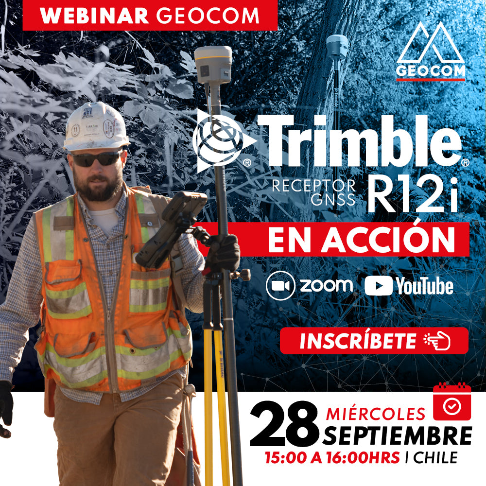
Webinar | Trimble R12i in action
NOW AVAILABLE! | Geocom.cl & YouTube
Join us in this webinar to review some R12i applications in different industries.
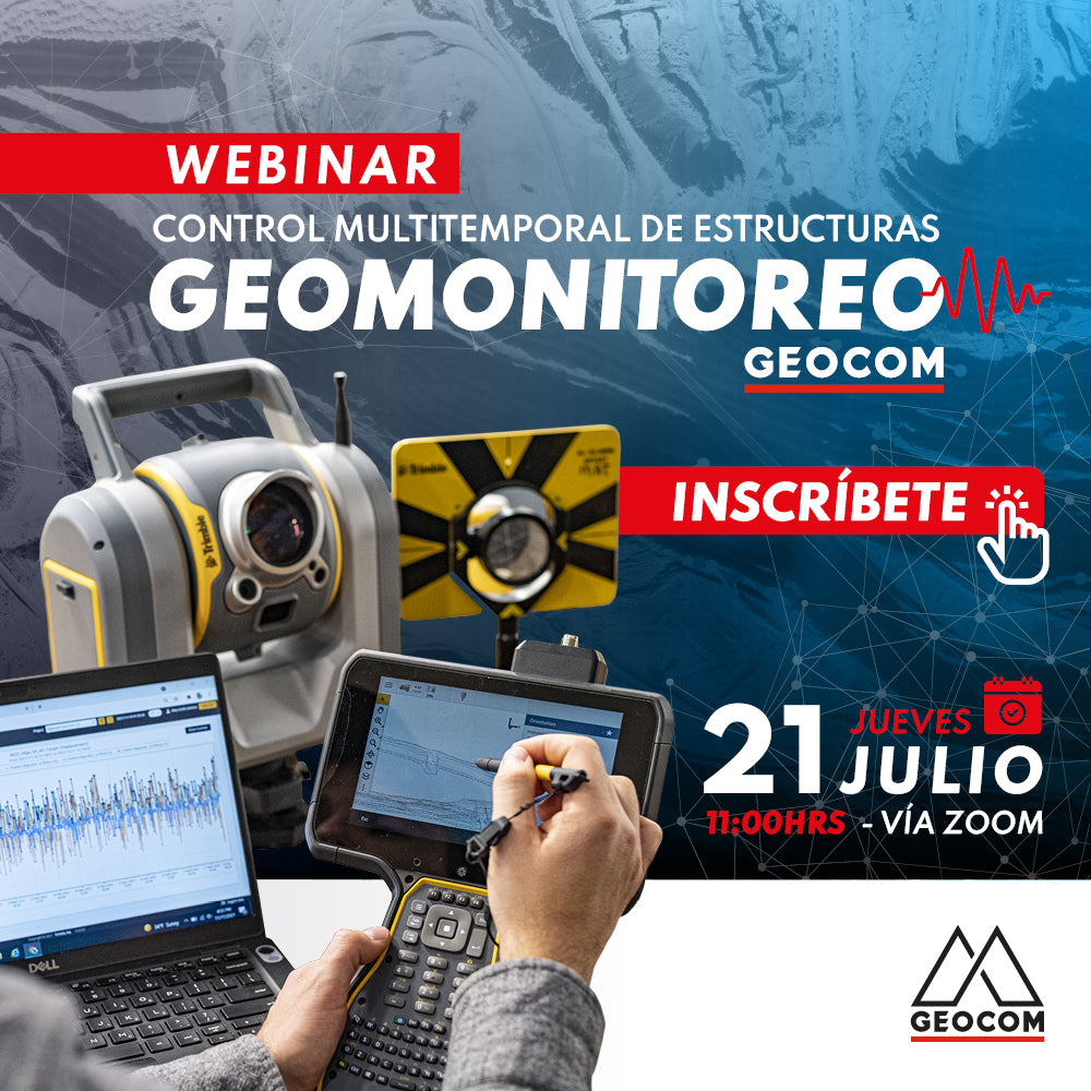
Webinar | Geomonitoring: Multitemporal Control of Structures
WATCH NOW! | Zoom – YouTube Live
Geomonitoring provides a large volume of heterogeneous data that, when made compatible, provides valuable information about the structural health of an engineering work or a natural structure.
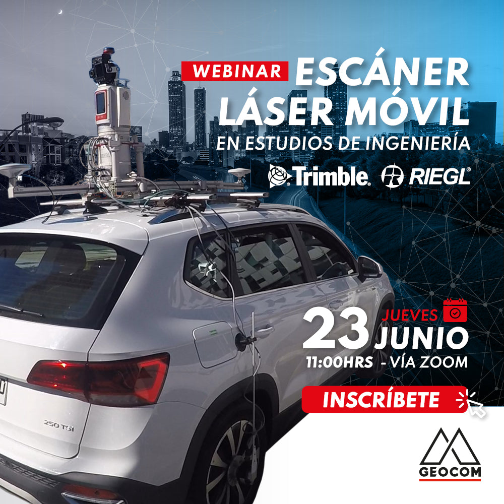
Webinar | Mobile Laser Scanning Application in Engineering Studies
Now available!
Mobile Mapping technology provides us with a faithful representation of reality and also allows us to capture data with equipment in motion.
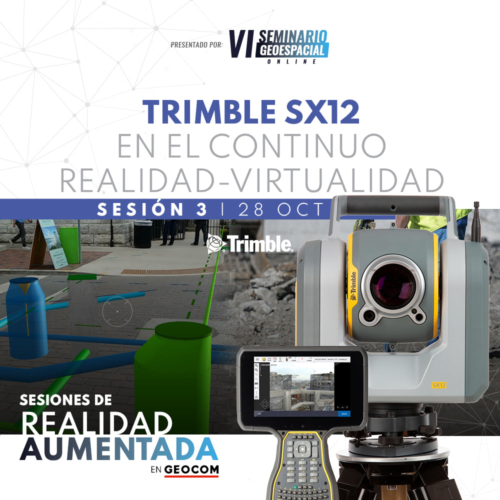
Webinar | Trimble SX12 in the Reality-Virtuality Continuum
Discover how high-precision positioning benefits from the use of 3D models in an augmented reality context.
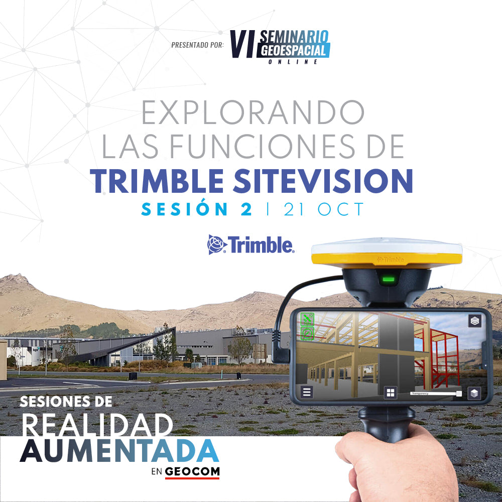
WEBINAR | Exploring the features of Trimble SiteVision
Understand how the integration of high-precision GNSS, an electronic distance meter, and the native sensors of a high-end smartphone will allow you to solve problems associated with the execution of an engineering project.
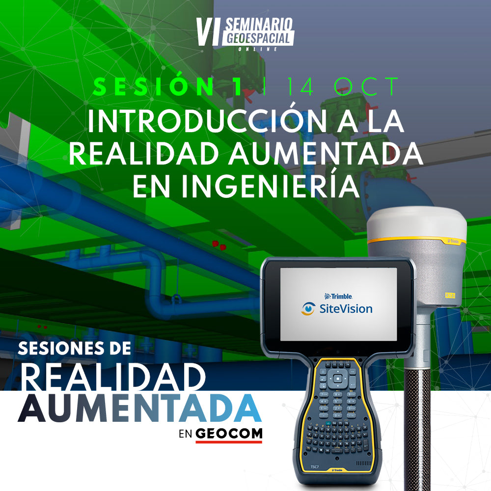
WEBINAR | INTRODUCTION TO AUGMENTED REALITY IN ENGINEERING
In this presentation, we invite you to familiarize yourself with the concept of augmented reality and the tools currently available.
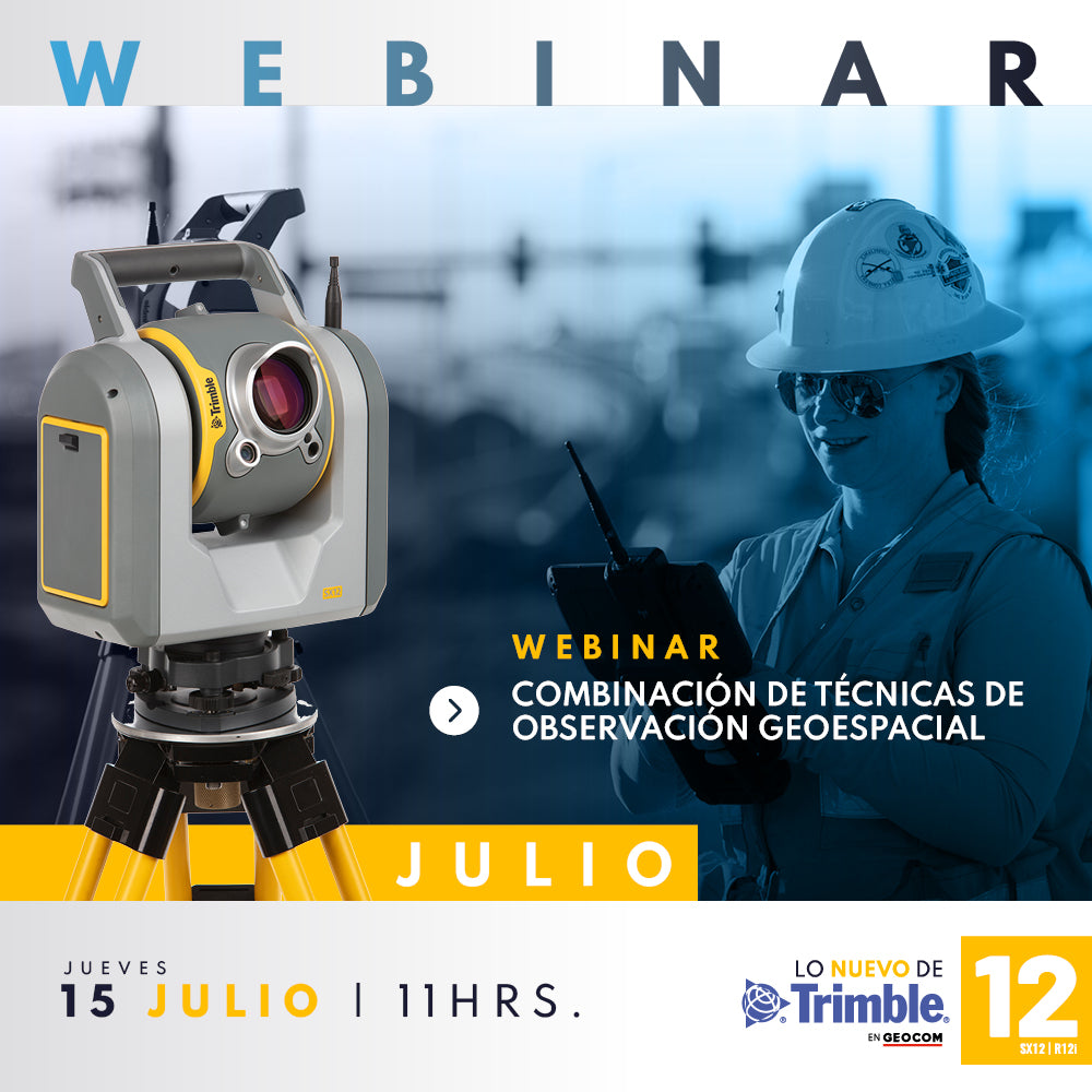
WEBINAR | Combining geospatial observation techniques