

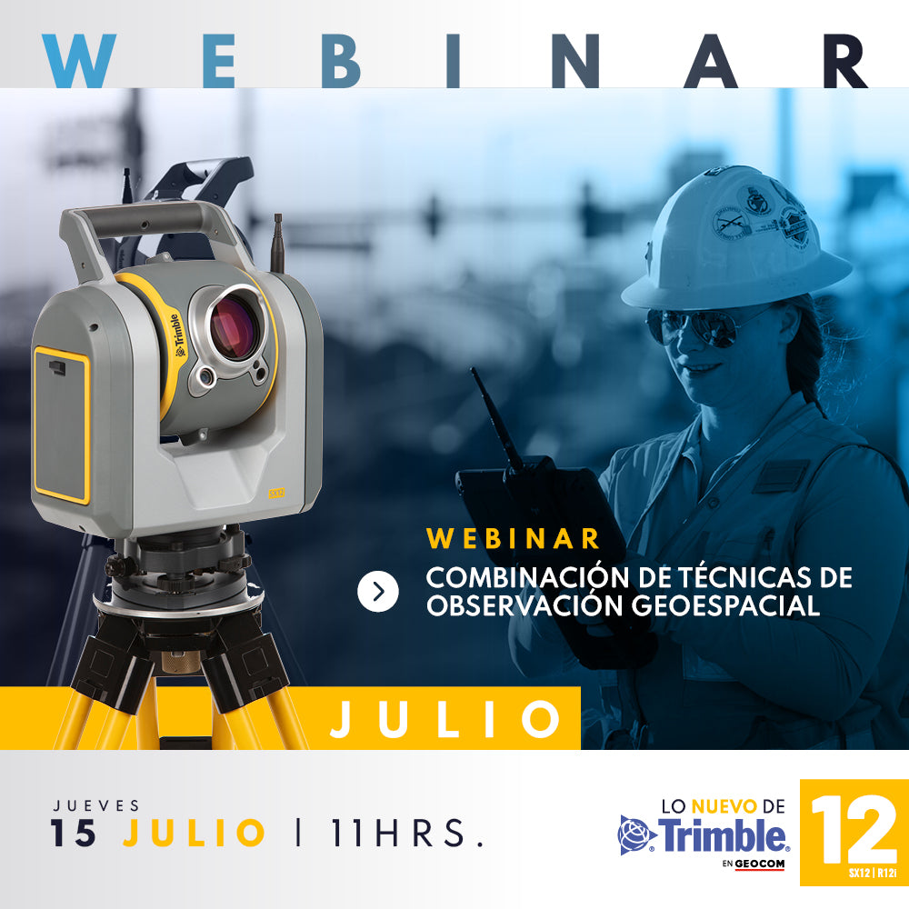

What do R12i, SX12, and Phantom 4 RTK have in common? Is it possible to integrate this data to create a complete topographic representation? This webinar will address, from an applied point of view, best practices for combining GNSS data with scans and photogrammetric products to generate powerful final deliverables in TBC.
AGENDA
0. Introduction to the experiment: motivation for combining techniques
1. Trimble R12i
• Reference linked to the GEOCOM GNSS Network
• Trimble ProPoint and TIP
• Analysis of survey precision
• Surveying by codes
• Data processing in TBC
2. Trimble SX12
• Integrated surveying: GNSS as an integration technique
• Scans for topographic representations
• Station registration
• Data processing in TBC
3. DJI Phantom 4 RTK
• 3D flight planning
• Data processing in TBC
4. Combination of techniques
• Detailed topographic representation
• Automatic sheets

SPEAKERS

Ariel Silva | Support and Presales Manager
Execution Engineer in Geomatics and Master in Geomatics with experience in the application of geodesy, topography and photogrammetry in engineering works. He has worked in the mining industry directly in the operation of open pit mines, as well as in the academic field as a lecturer in various higher education institutions related to geomatics and geomantics, specializing in the adjustment of terrestrial and satellite geodetic observations.
At GEOCOM, he works as Support and Presales Manager, leading a team of engineers dedicated to solving customer problems in the implementation of geotechnologies and also in their dissemination.

Óscar Moreno | UAS Application Engineer
Execution Engineer in Geomatics and currently a Master's student in Remote Sensing with extensive experience as a certified instructor pilot for fixed-wing and rotary-wing drones. In the academic field, he has participated as a lecturer and speaker in various higher education institutions.
Since 2014, he has been working at GEOCOM as a UAS Application Engineer, performing presales, consulting, and support in the planning, execution, and processing of photogrammetric and LiDAR data captured with drones.

José Carrasco | GNSS & Optics Solutions Specialist
Geomatics Engineer, specialist in Geodesy and topography applied to mining infrastructure engineering projects. Experience in open-pit mine planning, Geotechnics, Assembly, and underground mining. Extensive experience in geospatial solutions.
Compartir:
WEBINAR | Practical experiences with Trimble R12i and SX12
Webinar | RIEGL Terrestrial Mobile Applications in Mining Projects