


Webinar | Geospatial 101: Key Concepts
Join us for this webinar if you want to clarify geospatial concepts and understand what types of technologies you can request to solve engineering problems.
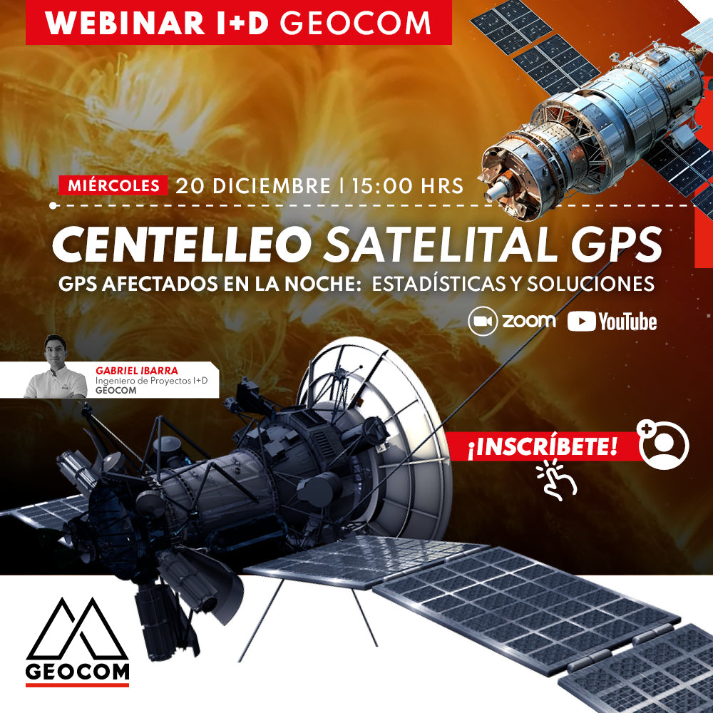
Webinar | GPS Satellite Scintillation: Statistics and Solutions
WEDNESDAY 12/20 - 3:00 PM PST | Zoom & YouTube Live
In this webinar, we will learn about available tools to monitor this phenomenon, understand its impact, know what to expect moving forward, and most importantly: how to solve this problem.

Webinar | Direct RTK Referencing in Drones
WATCH NOW! | Geocom.cl and YouTube
Boosting the use of direct RTK referencing in DJI systems, highlighting its main strengths and considerations for obtaining high-quality and precise products
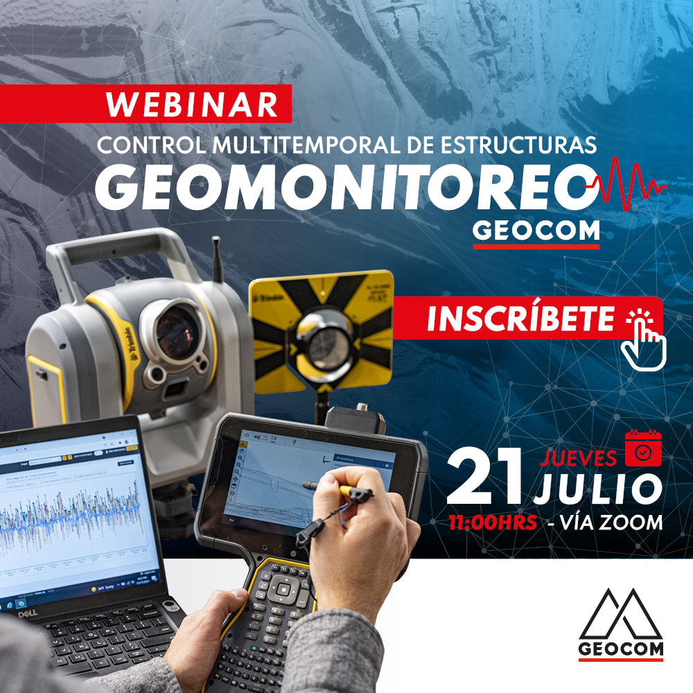
Webinar | Geomonitoring: Multitemporal Control of Structures
WATCH NOW! | Zoom – YouTube Live
Geomonitoring provides a large volume of heterogeneous data that, when made compatible, provides valuable information about the structural health of an engineering work or a natural structure.
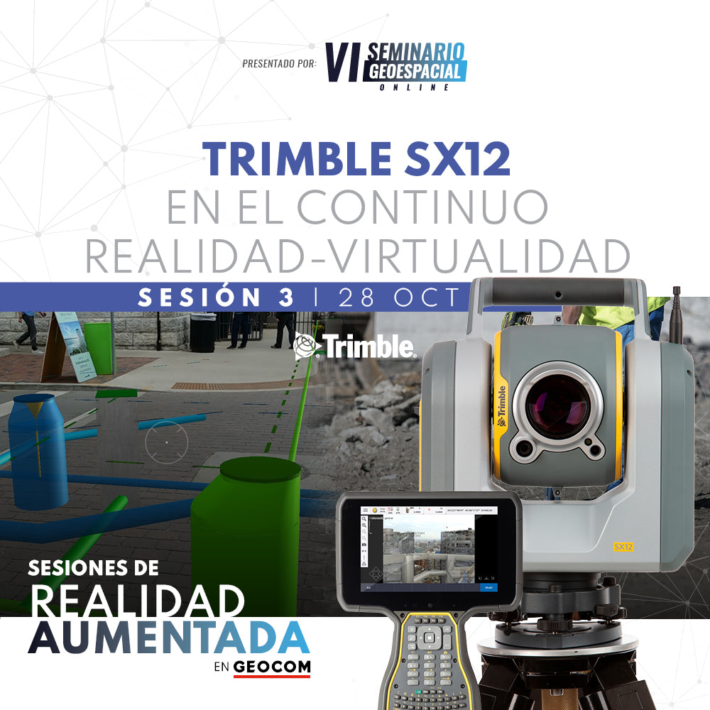
Webinar | Trimble SX12 in the Reality-Virtuality Continuum
Discover how high-precision positioning benefits from the use of 3D models in an augmented reality context.
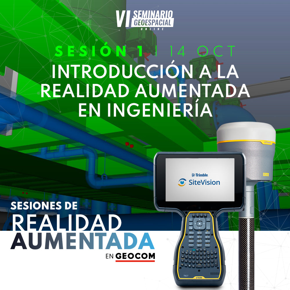
WEBINAR | INTRODUCTION TO AUGMENTED REALITY IN ENGINEERING
In this presentation, we invite you to familiarize yourself with the concept of augmented reality and the tools currently available.
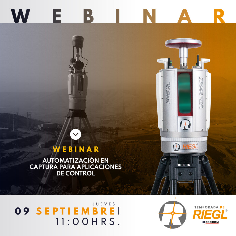
Webinar | Automation in Capture for Geospatial Control Applications
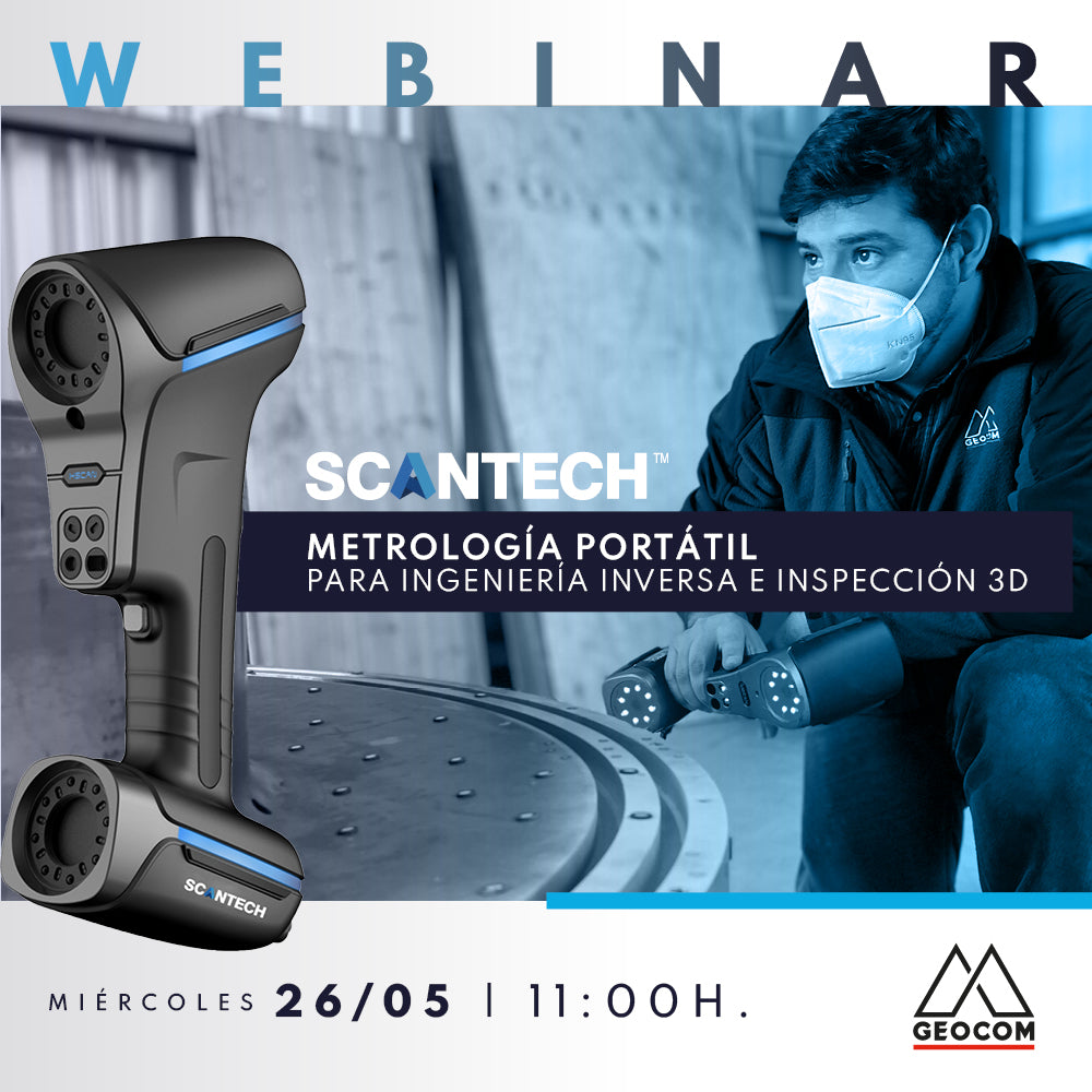
Webinar | SCANTECH: PORTABLE METROLOGY FOR REVERSE ENGINEERING AND 3D INSPECTION
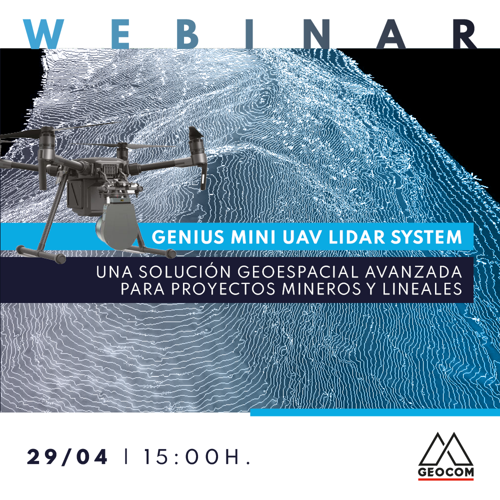
WEBINAR | Success Stories with GENIUS Mini UAV LiDAR System

Webinar | Scans and Point Clouds in TBC

Webinar | Applications of the senseFly eBee X UAS in Chilean Industry
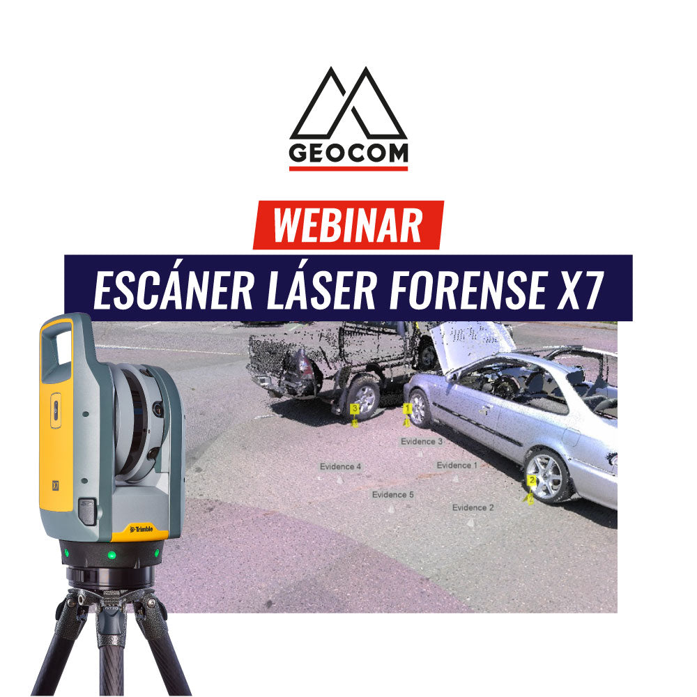
Webinar | X7 Forensic Laser Scanner
We will present on the advantages, features, and approach offered by the Trimble X7 laser scanner for forensic applications.
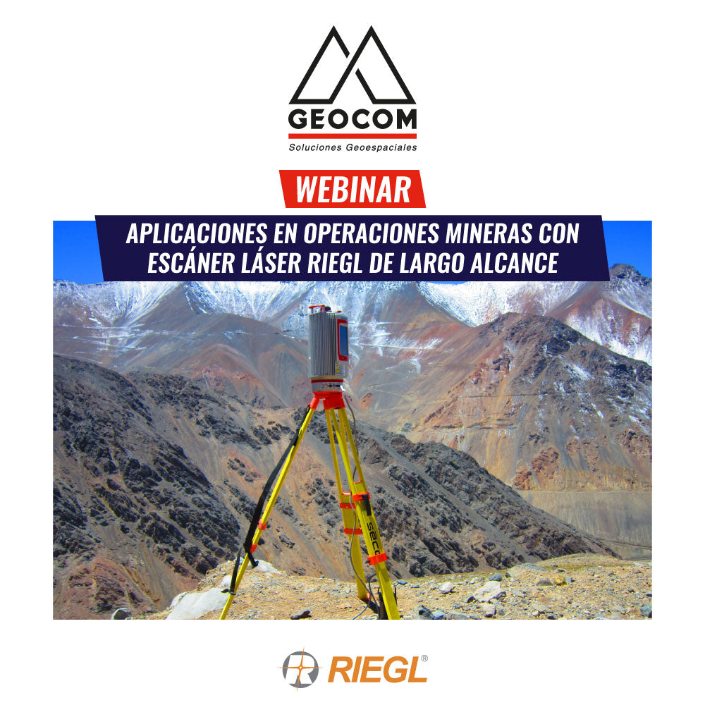
Webinar | Applications in Mining Operations with RIEGL Long-Range Laser Scanners
Laser scanner tools – LiDAR technology, have advanced in technological development and are present in various types of applications, providing a very detailed and highly accurate 3D Geospatial representation of study areas.