


FRIDAY, OCTOBER 23 AT 12:00 PM SANTIAGO, CHILE TIME
Undoubtedly, the surveying and construction sector has played a fundamental role in the growth of commercial drone implementation. Aerial images and photogrammetric products obtained from them provide very valuable information at each stage of planning and execution of different projects.
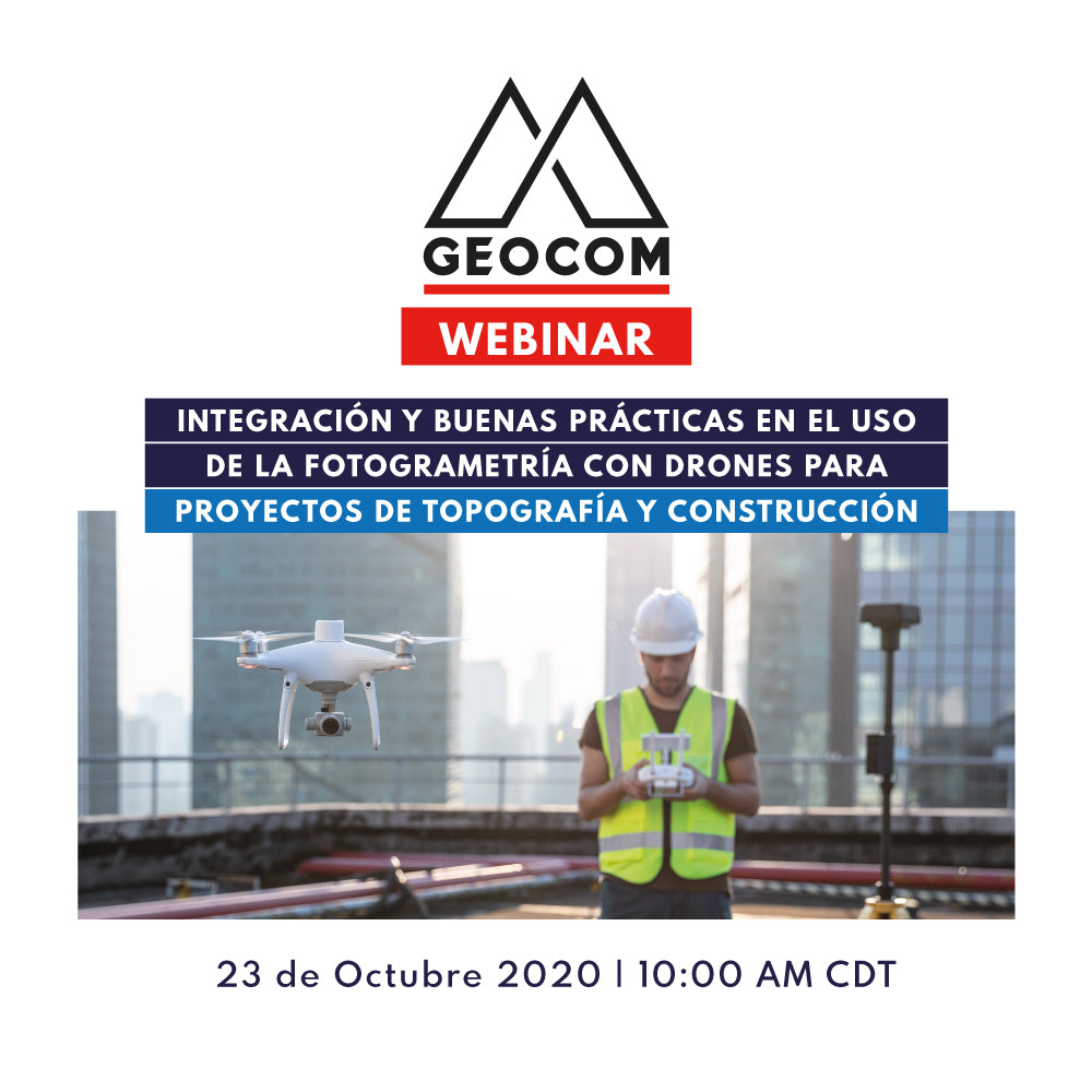
GEOCOM, a Chilean company with more than 35 years of delivering comprehensive geospatial solutions in these fields, presents in this seminar the different ways in which the use of drone photogrammetry adds value to your project.

AGENDA
In this seminar you will learn
- Brief introduction to photogrammetry
-
Advantages of using drone photogrammetry
- Costs
- Execution times
- Representativeness and precision
- Safety
- Drones and their complement to traditional topographic survey methods
-
Recommendations and best practices for obtaining products with high photogrammetric quality
- Drone-dependent and independent factors
- PPK/RTK solution
- Flight planning strategies in DJI GS RTK
- Applications in surveying projects
- Applications in construction and road infrastructure
- Integration with BIM

UAS Application Engineer since 2014, with extensive experience as a certified pilot for fixed-wing and rotary-wing drones that perform photogrammetry for various purposes in mining, forestry, engineering, land-use planning, and agriculture. As a UAS Application Engineer, he performs pre-sales, consulting, and support in the planning, execution, and processing of photogrammetric data with different types of software.
Compartir:
Webinar | Surveying Solutions for Productive Railway and Metro Track Surveying
Webinar | HP-GPS in machinery