

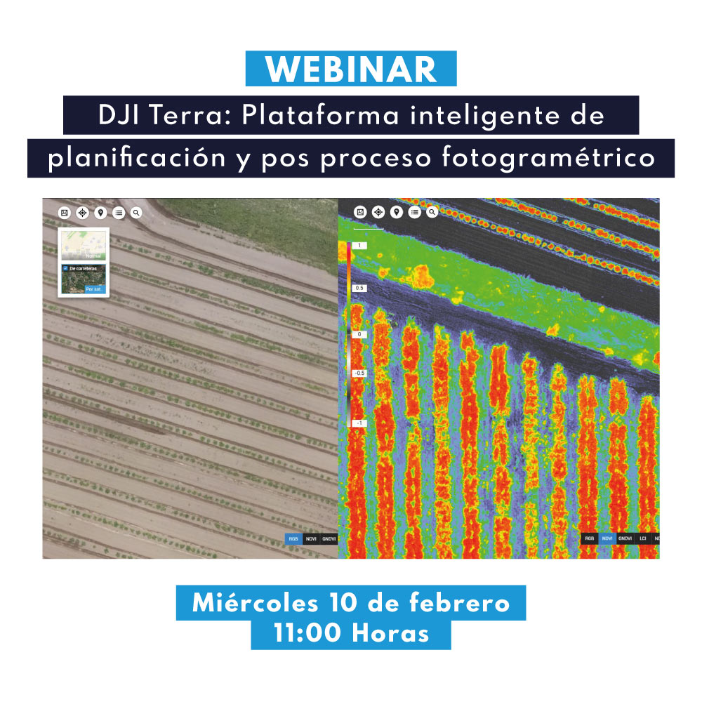
Webinar | DJI Terra: Intelligent Photogrammetry Planning and Post-Processing Platform
In this webinar, we will discuss your workflow in detail, highlighting its potential in various success stories that have been developed on this platform.

Webinar | Applications of the senseFly eBee X UAS in Chilean Industry
In this webinar, we will showcase the capabilities and applications of the eBee X UAS in mining and other areas of Chilean industry, through testimonials from long-time senseFly users in Chile, as well as through successful cases developed by GEOCOM.

Discover how drone photogrammetry can positively impact your construction and topography projects.
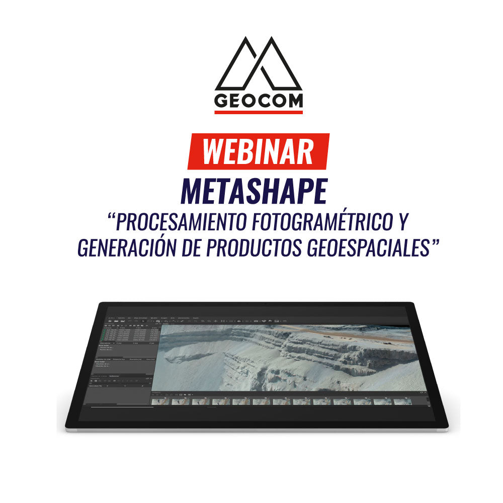
Webinar | Metashape, Photogrammetric Processing and Geospatial Product Generation
In this webinar, fundamental photogrammetric concepts will be explained, we will showcase our new UAS portfolio with senseFly eBee X, and detail a complete processing workflow, demonstrating each geospatial product obtained
Dji enterpriseDronDroneseBee XSenseFlySensores MultiespectralesSensores TérmicosUASWingtraWingtraOne
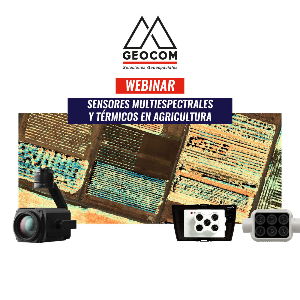
Webinar | Multispectral and Thermal Sensors in Agriculture
Chile is a cereal, fruit, and vegetable-producing country, considered one of the largest fruit exporters in the southern hemisphere.
In recent years, it has been affected by a national mega-drought, which has been observed in the annual water deficit. This new context has forced the industry to seek to optimize its natural resources in the pursuit of continuing to increase its production.