

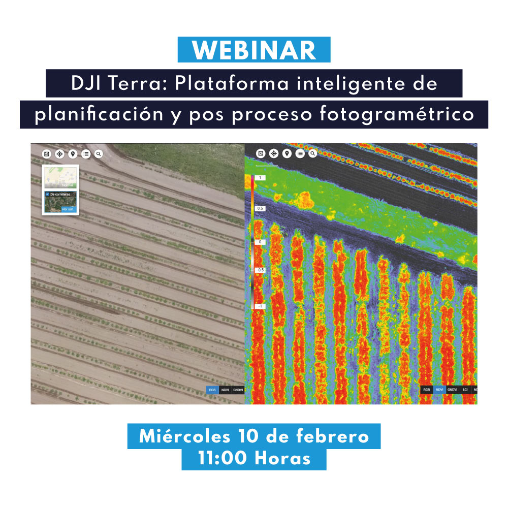

DJI Terra is a multi-platform that allows you to plan, capture, process and analyze photogrammetric products obtained with your drone. In this webinar we will talk in detail about its workflow, detailing its potential in various success cases that have been developed on this platform.
AGENDA:
- Introduction to photogrammetry
- Photogrammetric products
- What is DJI TERRA?
- Software potential
- License types
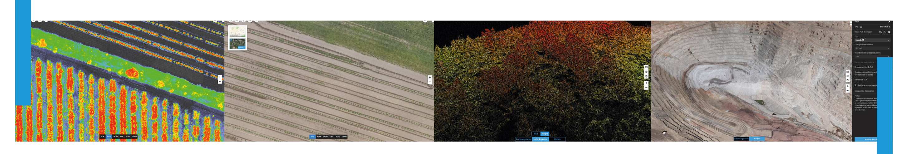
- Post processing: High definition 3D reconstruction
- Success story
 Presenter

Oscar Moreno Application Engineer Unmanned Aerial Systems
Oscar, an Execution Engineer in Geomatics from the University of Santiago de Chile, has been working at GEOCOM as a UAS Application Engineer since 2014. He has extensive experience as a certified pilot for fixed-wing and rotary-wing drones that perform photogrammetry and LiDAR for various purposes in mining, forestry, engineering, land planning and agriculture. He is certified as an instructor for senseFly and DJI Enterprise line. Since 2019, he began to specialize in Remote Sensing.

Hernán Álvarez Application Engineer Unmanned Aerial Systems
Execution Engineer in Geomatics from the University of Santiago de Chile. In 2015, he began working at Digimapas Chile as a field operator, finishing his time at this company in December 2016 as Crew Chief, where he applied his knowledge of geodesy, topography and cartography in the different activities and tasks he performed. In 2017 he joined Geocom S.A as an Optical and GNSS Support Engineer, where he stood out for his versatility in GNSS solutions, such as site calibrations, RTK operation, as well as in scanning station solutions, such as structure inspection, tunnel control, among others. Since September 2018, he has worked as a UAS Application Engineer, where he stands out for his knowledge in advanced photogrammetry and for providing technical solutions for fixed-wing and rotary-wing equipment. He is certified as an instructor for senseFly and DJI Enterprise line. Since 2019, he began to specialize in Remote Sensing.
Compartir:
Webinar | Tunneling Solutions with Trimble Business Center and Trimble RealWorks
Webinar | Portable Mobile Scanner, the new way of massive topographic mapping