

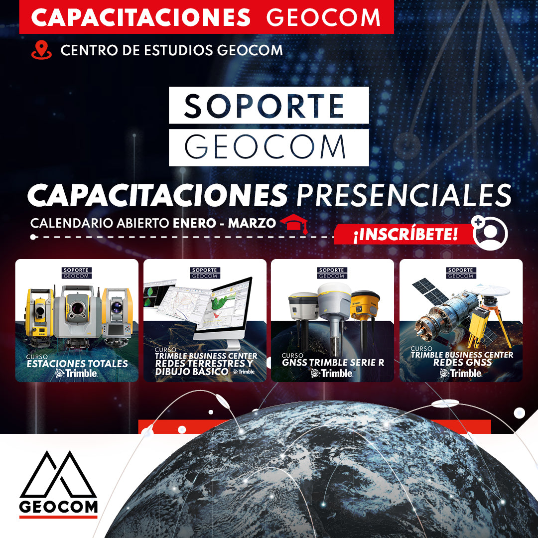
New Geocom In-Person Training System 🎓
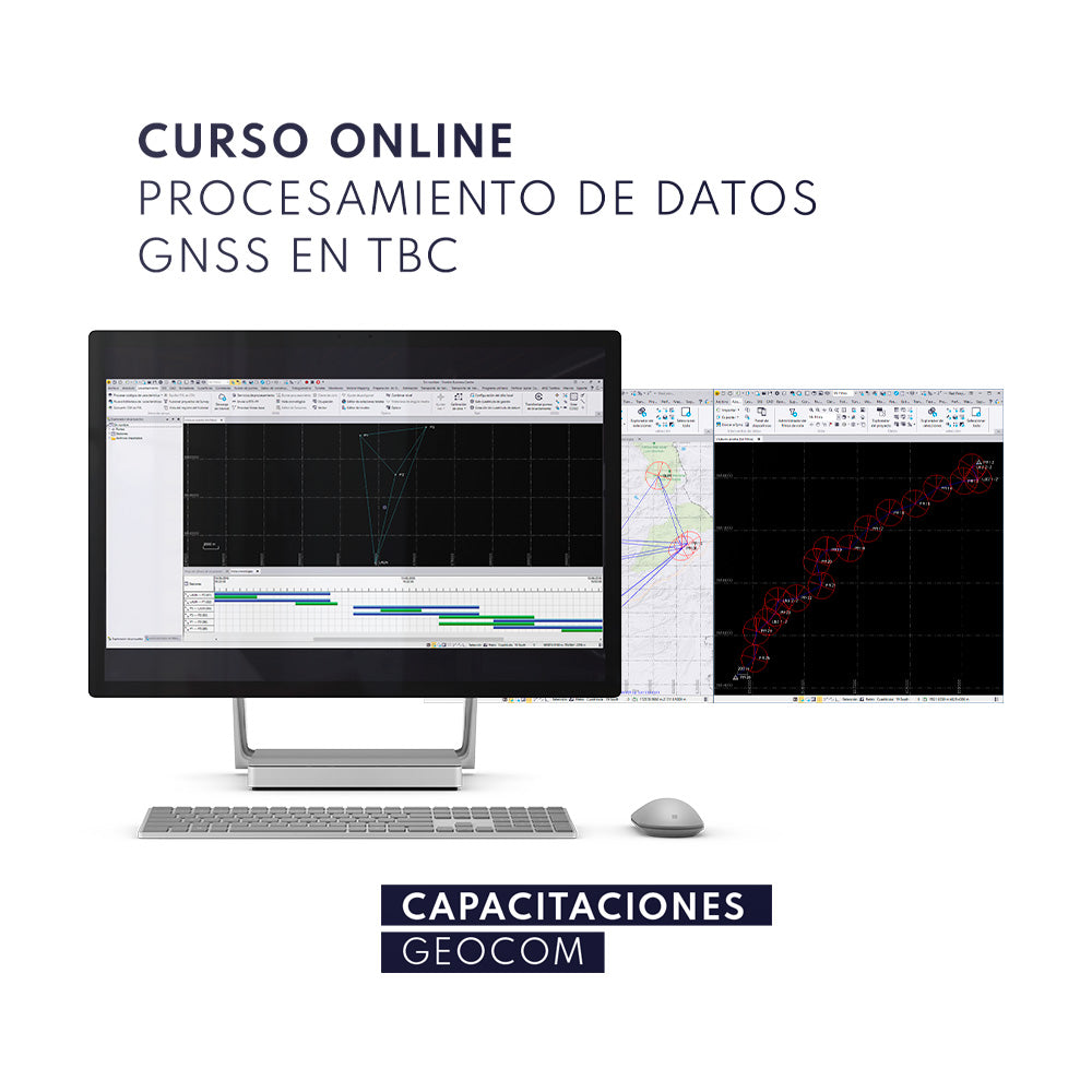
ONLINE Course | GNSS Data Processing in TBC
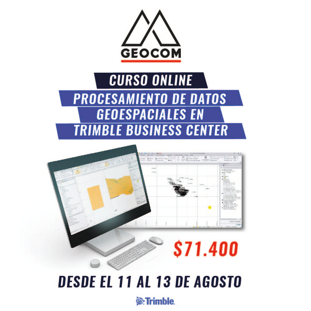
ONLINE Course | Geospatial Data Processing in Trimble Business Center
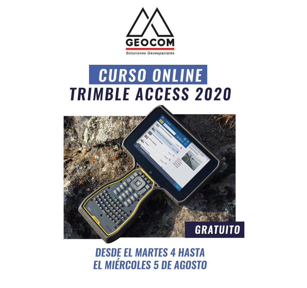
ONLINE Course | Trimble Access 2020
We invite you to participate in a new FREE GEOCOM ONLINE course "Trimble Access 2020".
Trimble Access software is a powerful field solution that allows you to collect topographic data, perform complex calculations, manage projects, share data using the cloud, among other options.
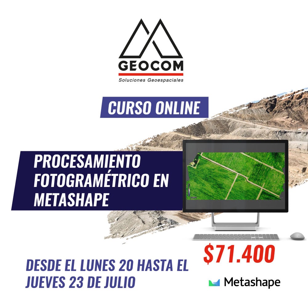
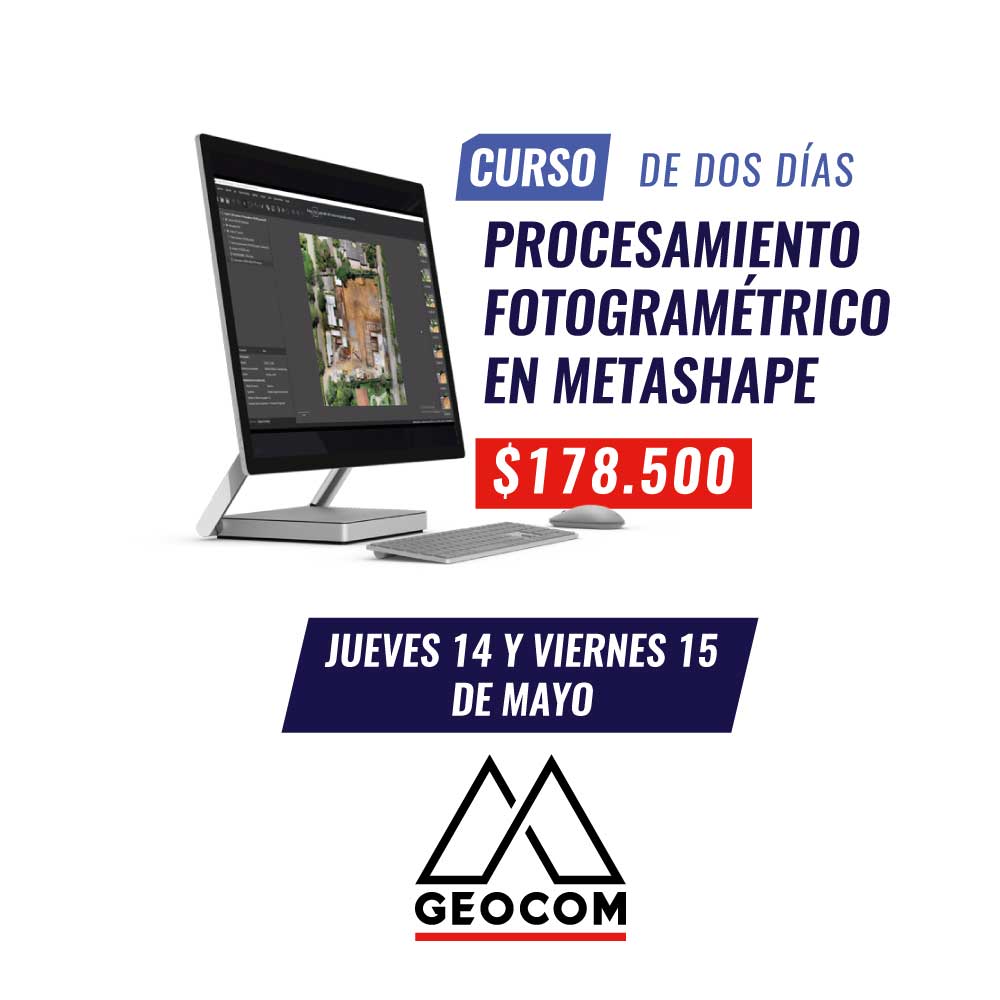
Online Course | Photogrammetric Processing in Metashape
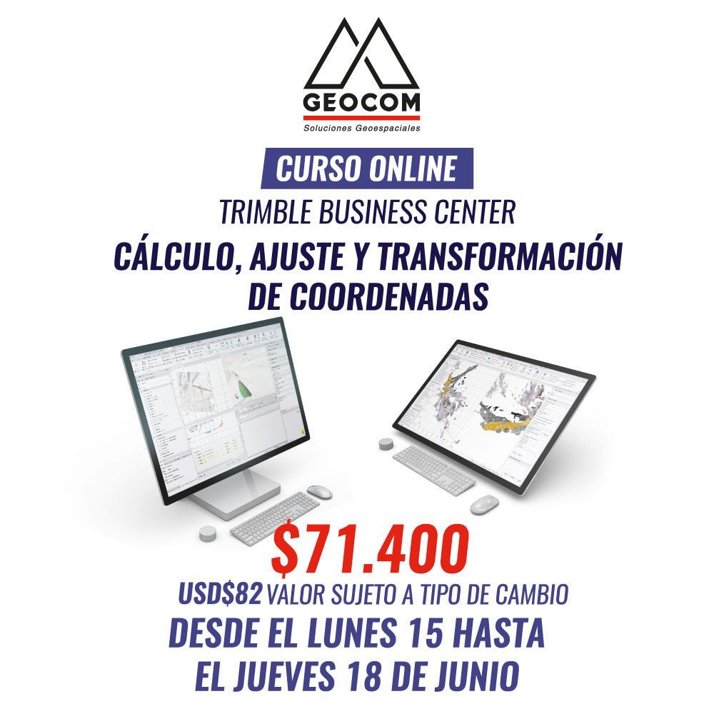
Online Course TBC | Calculation, Adjustment, and Transformation of Coordinates

ONLINE TRW Course | Applied Infrastructure Inspection
Every day it is more important to have good progress control in construction works, associated with the implementation of BIM systems.
In this Trimble RealWorks course, you will learn how to use the necessary tools to carry out a reliable workflow.
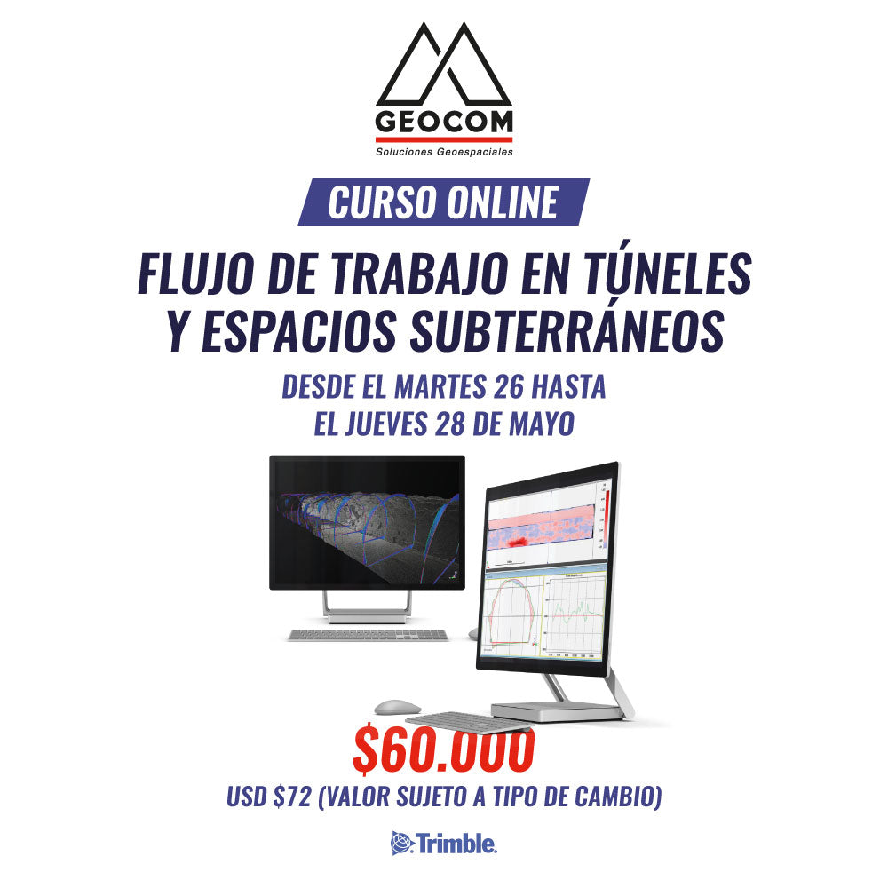
ONLINE TRW Course | Workflow in Tunnels and Underground Spaces
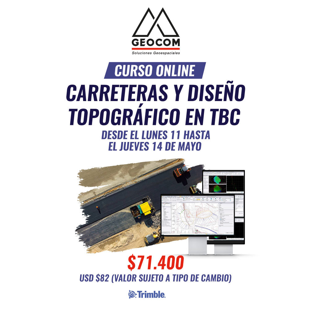
Online Course | Roads and Topographic Design in TBC
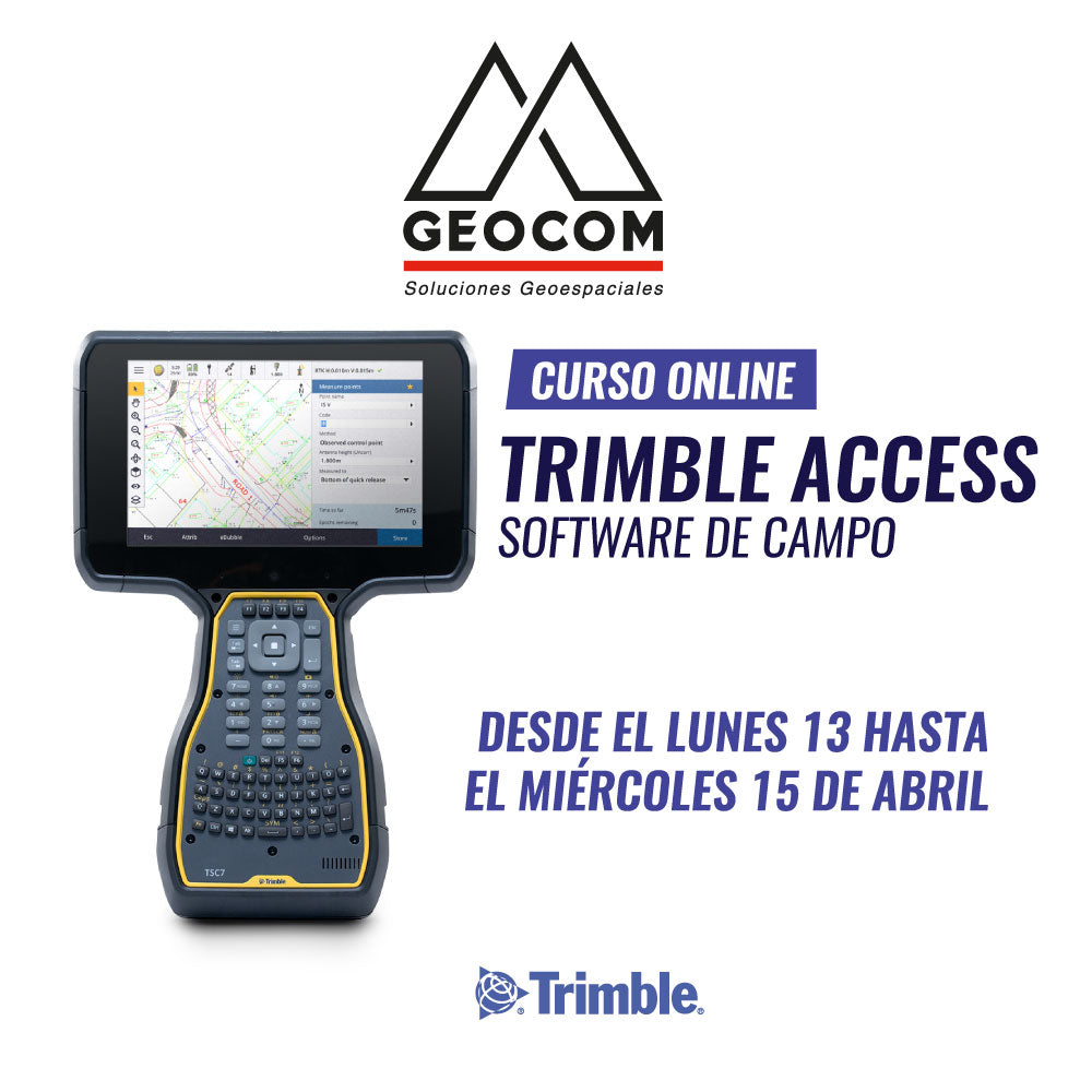
ONLINE Course | Trimble Access
Trimble Access is the field software for a variety of instruments. It is a powerful field solution that not only allows you to survey topographic data, but also perform complex calculations, manage projects, share data using the cloud, among other options.
Online Trimble Business Center Course

GEOCOM Course | TOPOGRAPHIC DRAWING AND DESIGN IN TBC

Two-Day Course | POINT CLOUD 3D PROCESSING AND MODELING
GEOCOM Course | PHOTOGRAMMETRY IN METASHAPE