

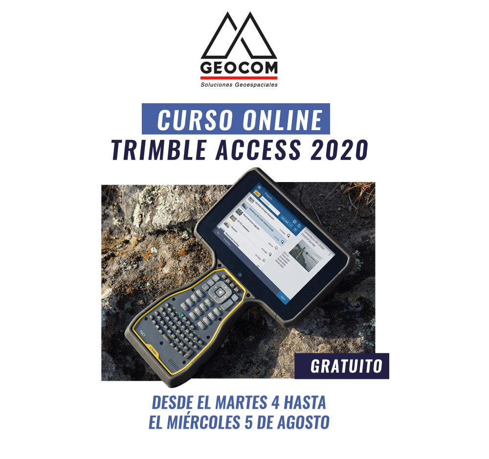

We invite you to participate in a new 100% Free ONLINE GEOCOM "Trimble Access 2020" course.
Trimble Access software is a powerful field solution that allows you to collect topographic data, perform complex calculations, manage projects, share data using the cloud, among other options.
In addition, it allows you to use and combine total station and GNSS data easily to face the most demanding challenges that topography can demand.
In this course, you will be introduced to the new tools that Trimble Access 2020 presents for conducting topographic surveys.

FROM TUESDAY, AUGUST 4 TO WEDNESDAY, AUGUST 5 | 3:30 PM and 5:00 PM
SANTIAGO DE CHILE TIME ZONE GMT -4 HOURS
AGENDA
- Generalities about Trimble Access 2020
- Trimble Connect and cloud usage
- Template creation: coordinate system management
- Feature library for automatic drafting
- Advanced use of surfaces (IFC, DWG, DXF, LandXML)
- Traverse adjustment in Trimble Access
Compartir:
Online Course | Photogrammetric Processing in Metashape
ONLINE Course | Geospatial Data Processing in Trimble Business Center