

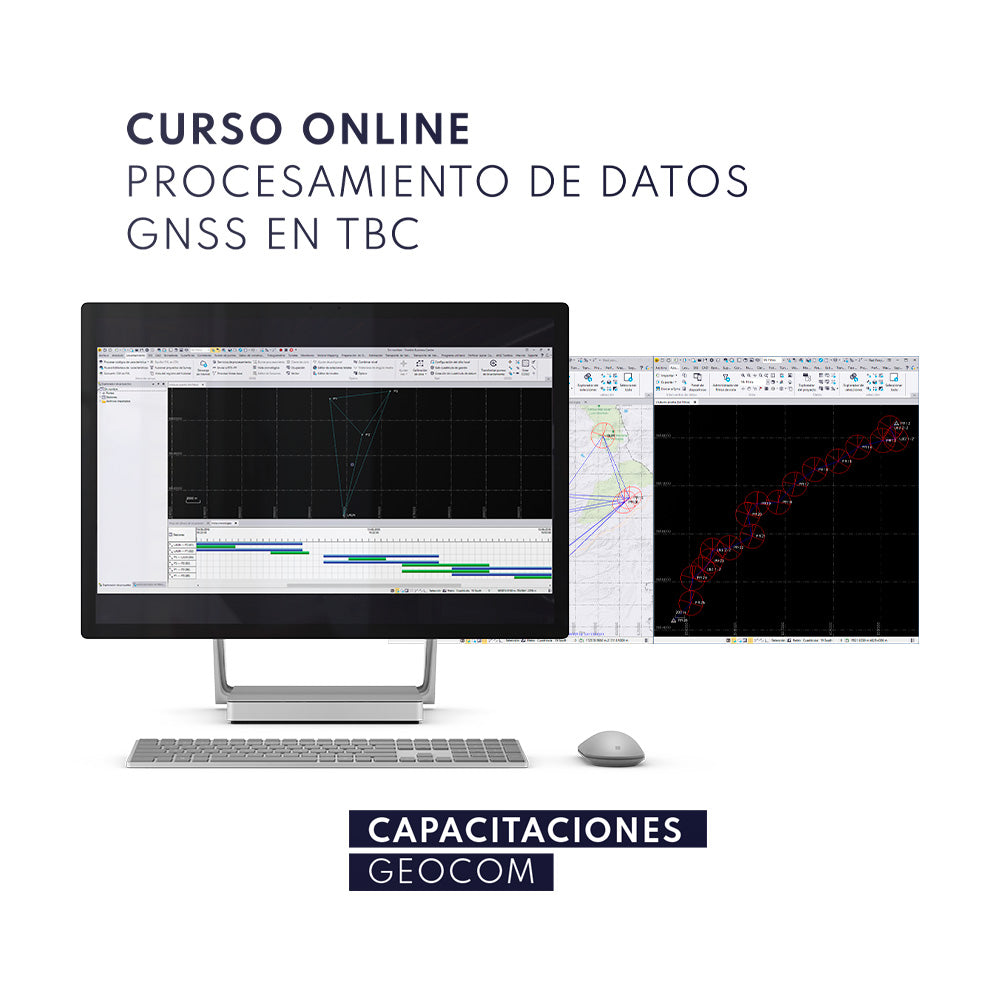

GNSS observations constitute a basic standard in determining high-precision coordinates in various fields of engineering. Their correct processing is vital for providing accurate reference frameworks with practical application in engineering.
With this course, you will learn to:
- Understand the concept of baselines.
- Process baselines and perform network adjustments to obtain high-precision coordinates.
- Combine GNSS data processing techniques.
- Recalculate RTK surveys.
- Understand kinematic GNSS applications.
This course is aimed at Engineers specializing in geodesy and topography, Surveyors, or any professional with an understanding of satellite geodesy.
Requirements
- Trimble Business Center License
-
Computer with the following characteristics:
1. 4-core processor (Intel I5 or higher)
2. RAM: 16 GB (or higher)
3. Hard drive with a minimum of 30 GB free space
4. Dedicated graphics card 1 GB (or higher)
5. Windows 7 operating system (or higher)
INCLUDES
- GEOCOM participation certificate
- Online support
- Access to all course documentation
Instructor
Ariel Silva Geomatics Engineer and Master in Geomatics, both degrees obtained at USACH. His specialty is the adjustment of observations with a focus on engineering applications, a field in which he has taught a variety of courses in different educational settings.

Compartir:
Trimble Business Center Intensive Course | GEOCOM
WEBINAR | Success Stories with GENIUS Mini UAV LiDAR System