

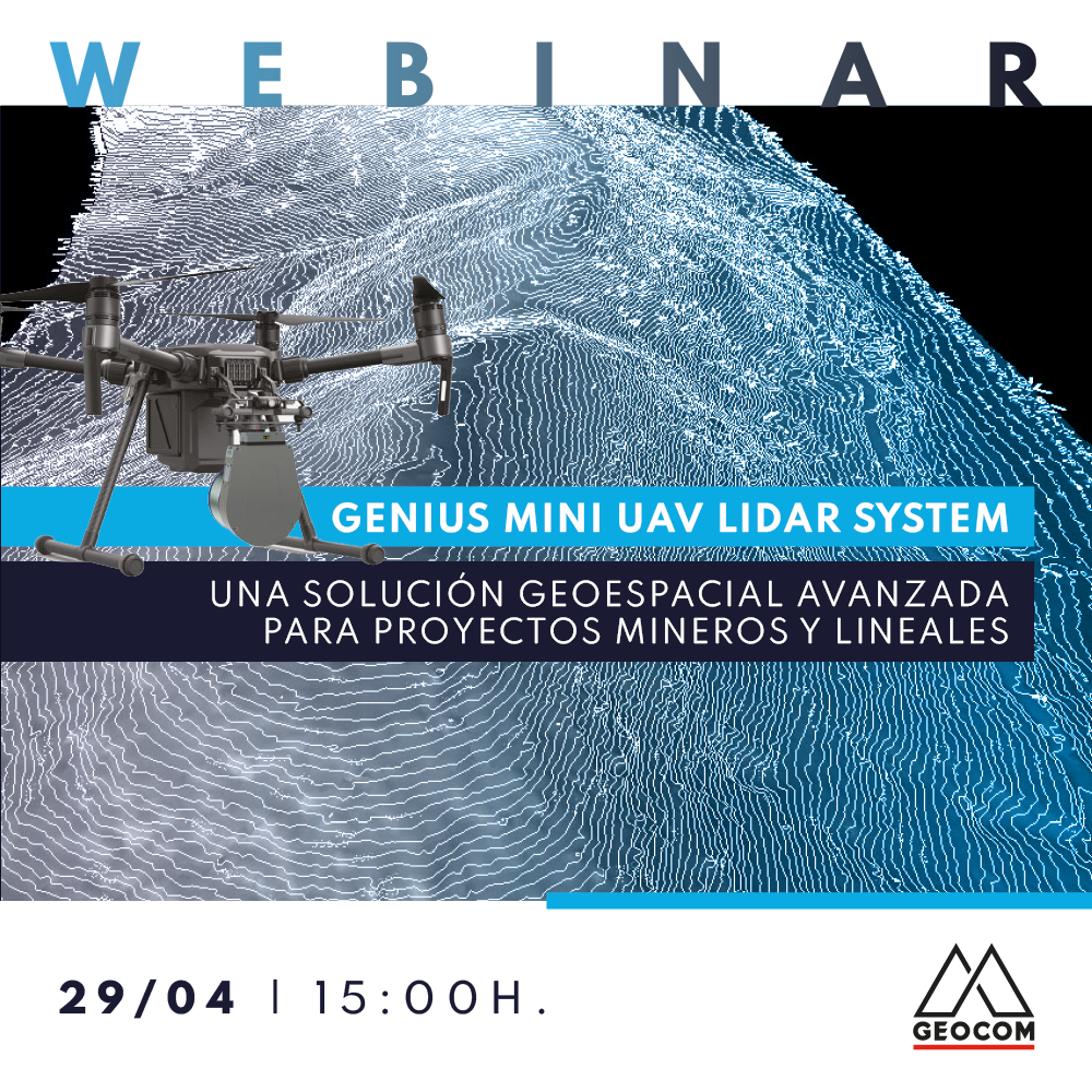

Learn about the new geospatial solution Genius Mini LiDAR System, a powerful and modular mobile LiDAR that optimizes safety and productivity in linear, hydraulic, mining, forestry, and other projects. We will begin by introducing the world of LiDAR, then delve into the Genius Mini LiDAR System workflow, concluding with an analysis of three success stories.
AGENDA
- Properties and capture modes of a LiDAR
- Classification of LiDAR systems
- Importance of orientation
- Applications with GENIUS LiDAR
- Differences compared to photogrammetry
- Success story in road infrastructure: Road project in Farellones
- Success story in mining: Waste control and geomechanical check in an open-pit mine
- Success story in a hydraulic project: Topographic control of a canal


Oscar Moreno | UAS Application Engineer
Oscar is a Geomatics Engineering graduate from the University of Santiago de Chile. He has been working at GEOCOM as a UAS Application Engineer since 2014, with extensive experience as a certified pilot for fixed-wing and rotary-wing drones that perform photogrammetry and LiDAR for various purposes in mining, forestry, engineering, land use planning, and agriculture. He is certified as an instructor for senseFly and DJI Enterprise line. Since 2019, he began specializing in Remote Sensing.

Hernán Álvarez | UAS Application Engineer
Hernán is a Geomatics Engineering graduate from the University of Santiago de Chile. In 2017, he joined Geocom S.A as a Support Engineer in Optics and GNSS, where he excelled due to his versatility in GNSS solutions, such as site calibrations, RTK operation, as well as scanning station solutions, including structure inspection, tunnel control, among others. Since September 2018, he has worked as a UAS Application Engineer, standing out for his knowledge in advanced photogrammetry and for providing technical solutions for fixed-wing and rotary-wing equipment. He is certified as an instructor for senseFly and DJI Enterprise line. Since 2019, he began specializing in Remote Sensing.
Compartir:
ONLINE Course | GNSS Data Processing in TBC
Webinar | RIEGL VZ-2000i - Apps and Tools for Mining Applications