


Trimble Business Center Online Course | Roads and Topographic Design

From Monday, May 11 to Thursday, May 14
4 days | 4 sessions 3 hours per session
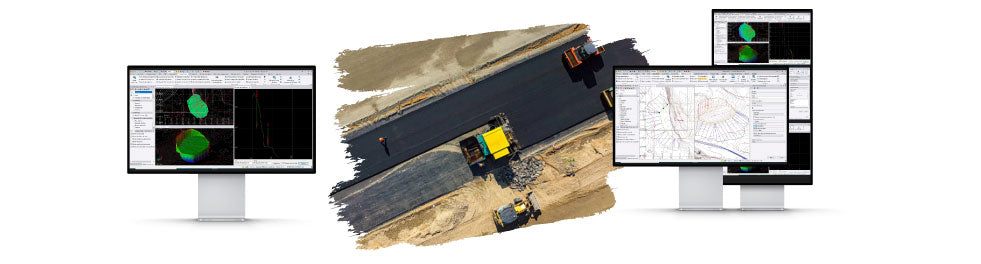
The Roads and Topographic Design course in Trimble Business Center is aimed at all types of engineers involved in construction, earthmoving, road works, among others, who require a graphic and quantitative representation of their topographic surveys (total station, GNSS, laser scanner, photogrammetry). Automation of topographic plan sheets, volume calculation, profile creation, use of point clouds and orthophotos, and creation of linear work corridors are some of the topics that will be reviewed in this training. All content can be applied to any type of linear work as an introduction.
Instructor
José Carrasco | GEOCOM Support Coordinator
Surveying Engineer from the Metropolitan Technological University with 21 years of experience. Specialist in Geodesy and Topography applied to engineering and construction projects for mining infrastructure. He has worked as an Engineer at SHOA and as a discipline leader for the Vice Presidency of Projects at CODELCO, mainly, and now as a Specialist in GNSS & Optics solutions at GEOCOM. Postgraduate Diploma in Tunnels and Underground Spaces from the University of Chile. Professor at Santo Tomás University for the Civil Mining Engineering and Geology programs.
SANTIAGO DE CHILE TIME ZONE GMT -4 HOURS
Day 1 MONDAY, MAY 11 Module 1 16:00 - 19:00 hours
Introduction to drawing in TBC
- TBC drawing tools
- Editing tools
- Feature library application
- Labels and tables
- Toggle background map and create location plan
- Create topographic plan with Drafting tools
Day 2 Tuesday, MAY 12 Module 2 16:00 - 19:00 hours
WORKING WITH SURFACES
- Create surface
- Create projected surfaces (Platform)
- Surface editing
- Contour lines
- Earthworks report
- Create alignment and longitudinal profile
- Create project plan
Day 3 Wednesday 13 MAY Module 3 16:00 - 19:00 hours
WORKING WITH POINT CLOUDS AND ORTHOPHOTOS
- Import Trimble SX10 data
- Import point clouds and orthophotos
- Register scans
- Regions
- Views
- Cloud color
- Trimble TX8 Point Cloud Registration
- Georeference Trimble TX8 point cloud
Day 4 Thursday 14 MAY Module 4 16:00 - 19:00 hours
CORRIDOR DESIGN AND USE OF AUTOMATIC DRAWING TEMPLATES
- Alignments
- Alignment editor
- Corridor creation
- Creation and export of typical profile templates
- Longitudinal and transverse profiles
- VCL template application
- Configurations
- Printing
- Export of sheets in CAD format
Compartir:
Webinar | Maintenance of Mining Plants with Laser Scanners
TRW Webinar | Contrasting reality in BIM project and construction