

![[ANTOFAGASTA] WORKSHOP GEOCOM | CONSTRUCCIÓN DIGITAL](http://www.geocom.cl/cdn/shop/articles/publicacion-workshop_Construccion-digital-ANTOFAGASTA_0205cfbb-7dee-4065-bbac-ba557ee9e650.jpg?v=1714755247&width=1080)
[ANTOFAGASTA] GEOCOM WORKSHOP | DIGITAL CONSTRUCTION
THURSDAY, MAY 23 | 09:30 AM | ANTOFAGASTA
We are excited to invite you to our upcoming event, where we will explore in detail how LiDAR and drone technologies can improve the productivity and efficiency of your projects.
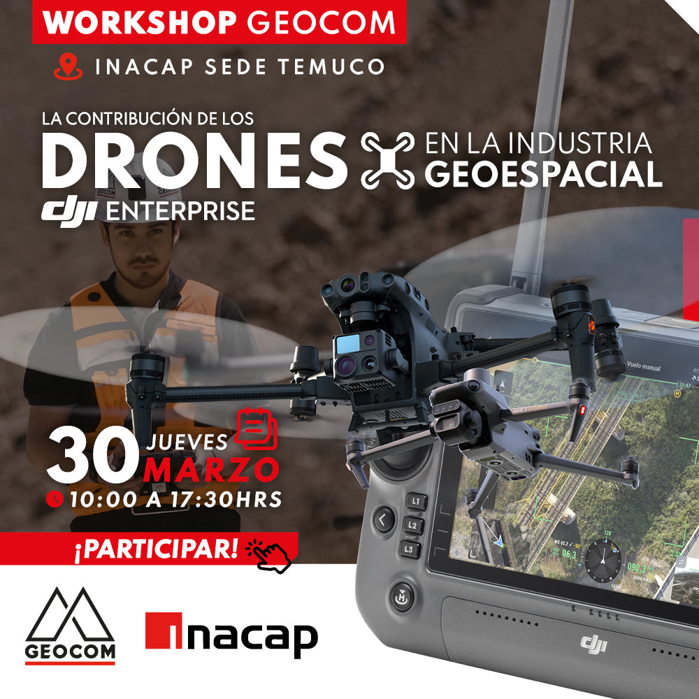
TEMUCO Workshop | The contribution of drones in the Geospatial industry
INACAP TEMUCO | THURSDAY, MARCH 30 | 10:00 AM TO 5:30 PM
Adoption of SIRGAS in mining and the use of cartographic projections in engineering works.
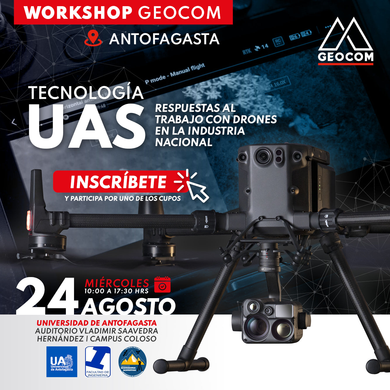
Free Workshop | UAS Technology - University of Antofagasta
VIEW GALLERY!
The use of drones has brought enormous benefits to national industry, especially in mining, improving productivity, facilitating the visualization and analysis of geospatial data, and contributing to the operational safety of various tasks.
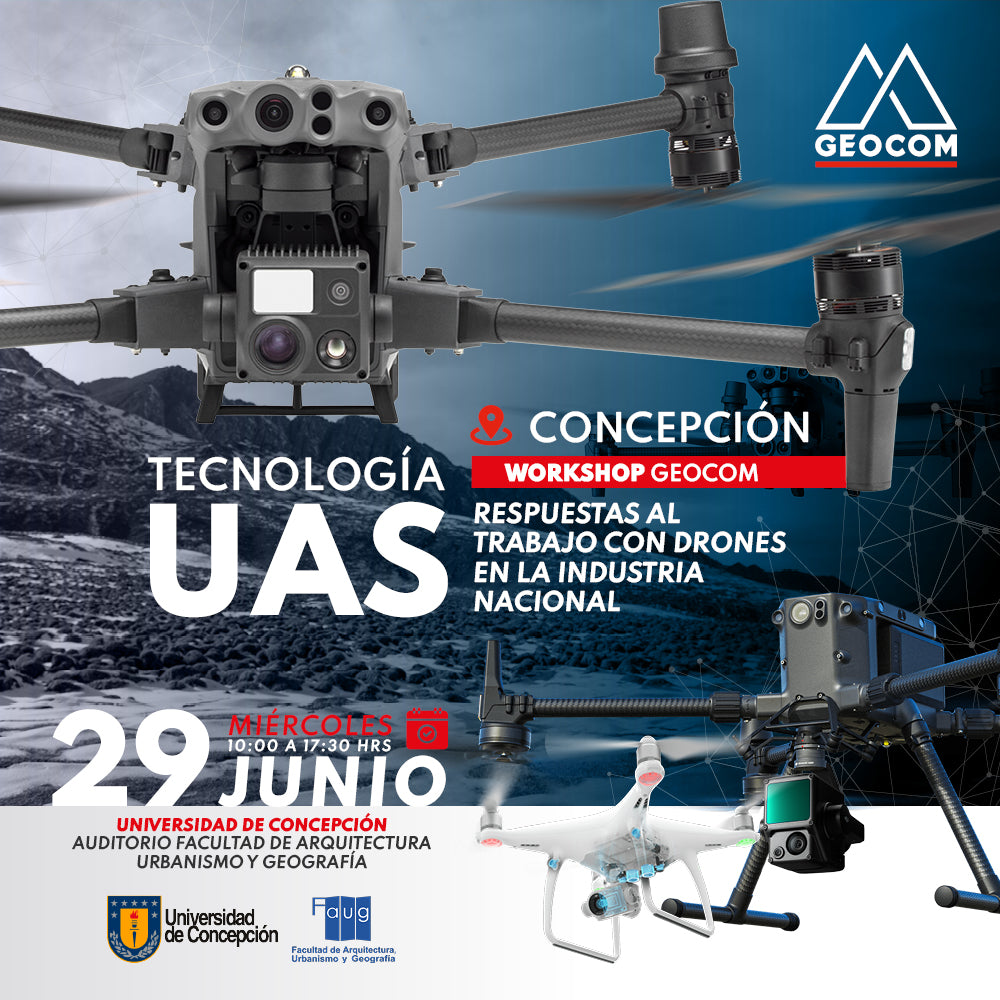
Free Workshop | UAS Technology - Concepción
Concepción | Wednesday, June 29 | 10:00 to 17:30
The use of drones has brought enormous benefits to national industry, especially in mining, improving productivity, facilitating the visualization and analysis of geospatial data, and contributing to the operational safety of various tasks.

Free Workshop | UAS Technology - La Serena
La Serena | Thursday, May 19 | 10:00 AM to 5:30 PM
In this workshop, you will be able to learn about the latest developments in UAS technology and discuss the different applications and solutions offered by GEOCOM, exchanging experiences with specialists in the field.
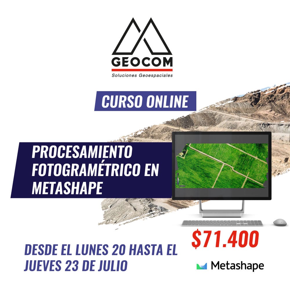
Online Course | Photogrammetric Processing in Metashape