

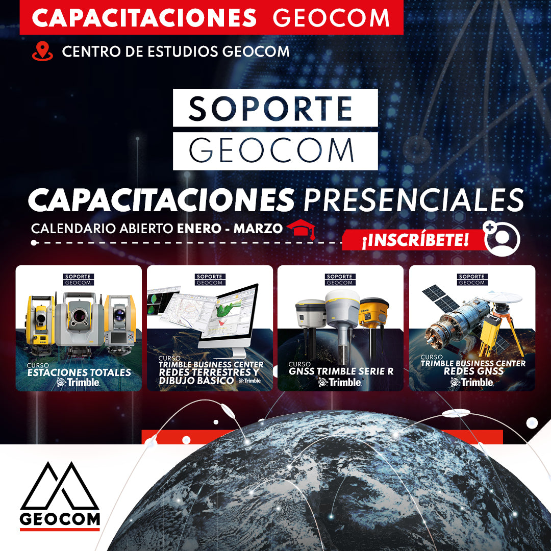

NEW GEOCOM SUPPORT IN-PERSON TRAINING SYSTEM 🎓
We are pleased to invite our clients to be part of the new free in-person training system - Geocom Support. These will alternate weekly (Mondays and Fridays) between Total Station and GNSS courses.
Each date will be divided into a morning session (09:00 to 12:00 hrs) and an afternoon session (14:00 to 17:00 hrs) and includes a maximum of 10 people per training.
📍 WHERE?: GEOCOM STUDY CENTER | AV. SALVADOR 1105, PROVIDENCIA

TRIMBLE TOTAL STATIONS COURSE:
This course covers the fundamental concepts for efficiently operating Trimble S-Series Total Stations, along with Trimble Access field software.
The use of Trimble S-Series Total Stations involves controllers such as TCU5, TSC7, or TDC600. During this training, participants will acquire skills for project creation, job management, data import to the station, station configuration, as well as advanced techniques such as resection, surveying, stakeout, and data export. Additionally, specific tools will be explored, such as cycle measurement, continuous surveying, and configuring additional stations for traverse operations, among other key aspects.
|
1. Introduction to Trimble Access
2. Project creation in Trimble Access
- Create template in Trimble Access
- PTL-Trimble Access template 3. Controllers
4. Import, Known Station and Survey
5. Stakeout 6. Export 7. Resection 8. Cycle measurement |
|

TRIMBLE BUSINESS CENTER TERRESTRIAL NETWORKS AND BASIC DRAWING IN TBC COURSE
This course focuses on the fundamental concepts for determining high-precision coordinates from total station observations and their processing using different techniques in Trimble Business Center (TBC).
Terrestrial observations, involving total stations and digital automatic levels, enable the acquisition of coordinates for any geospatial project, whether in local or projected (UTM) coordinate systems. TBC facilitates the adjustment of these networks using field observations, providing the necessary reports to document the obtained results. Additionally, TBC allows for the creation of drawings based on field data, utilizing automated and CAD tools, for the generation of surfaces, contour lines, and, finally, earthworks control.
|
1. Introduction to terrestrial data adjustment
- Adjustment of terrestrial networks in TBC - Initial configuration - Template creation 2. Adjustment of networks based on total station observations - PTL Traverse - Link traverse with Trimble S Series - Free Station |
3. Vertical Networks |

TRIMBLE R SERIES GNSS COURSE
Course focused on understanding workflows in Trimble Access for Trimble R-Series GNSS receivers.
The content covers the essential phases of configuration, surveying, and data management applied to Trimble R-Series GNSS systems. The expected outcome is to achieve a level of specialization that enables effective control of Trimble R-Series systems, thereby optimizing activities related to GNSS positioning.
|
1. Introduction to Trimble Access
2. Basic accessories for a Trimble S-Series GNSS system - TSC5 Bracket - TDC600 Bracket 3. Configurations and survey styles - Bluetooth Configurations - Static Survey Style - RTK Survey Style - RTK and Data Logging Survey Style - Ntrip Survey Style - Kinematic Survey Style 4. Templates and Geoid Models - Create Template - Create Template with Geoid Model - Import Geoid Model - Create PTL Template 5. Site Calibration - Import Site Calibration file (.DC) - Site Calibration in Trimble Access |
6. GNSS Survey |

TRIMBLE BUSINESS CENTER GNSS NETWORKS COURSE
In this course, we will explore the fundamental tools and techniques within Trimble Business Center (TBC) focused on the planning, processing, and adjustment of GNSS networks. From initial configuration to the generation of specialized reports, this course will provide the essential knowledge to optimize performance and efficiency in managing global satellite positioning systems. Additionally, TBC allows for the creation of drawings based on field data, leveraging automated and CAD tools, for the generation of surfaces, contour lines, and, finally, earthworks control.
|
1. Introduction to TBC
- Template creation 2. Baseline processing - Baseline processing - Determination of closure errors - Filters based on quality criteria 3. Absolute positioning applications 4. RTX processing 5. Integration of reference stations - Integration of reference stations - SIRGAS
6. RTK Observations
- Working with RTK data - Recalculating RTK surveys |
7. Coordinate transformation
|
Compartir:
[CALAMA] Workshop | Digital Construction
[COPIAPÓ]WORKSHOP GEOCOM | DIGITAL CONSTRUCTION