


TBC Tip #49 | Creating Orthophotos and Rectified Imagery
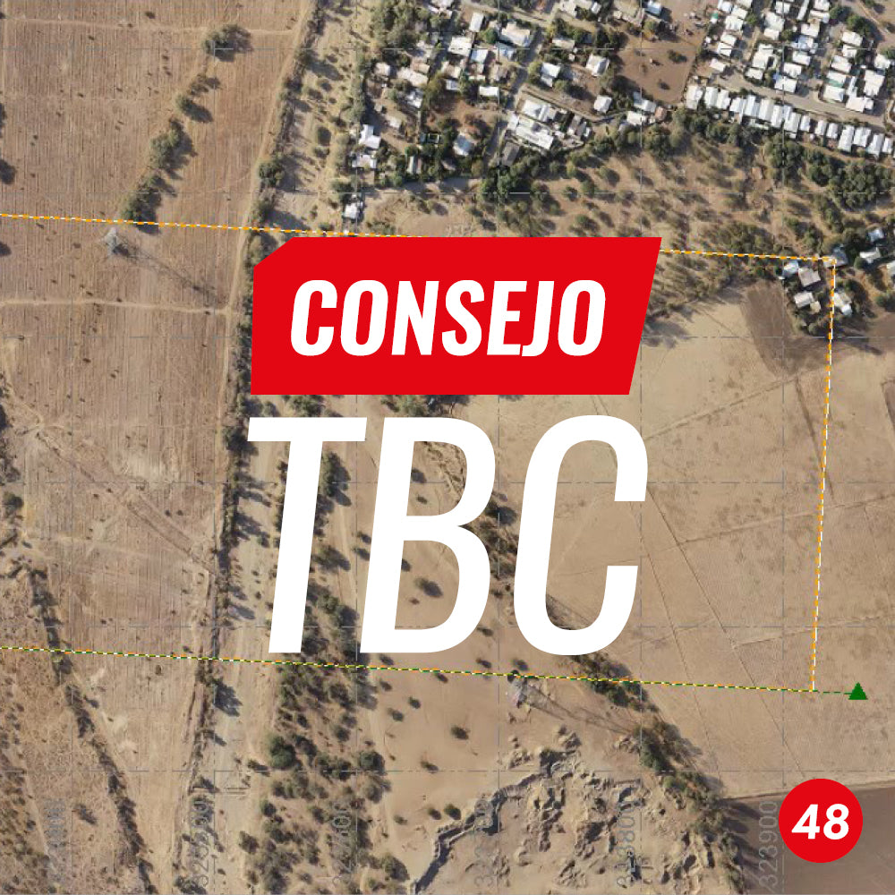
TBC Tip #48 | Exporting an orthophoto to KML
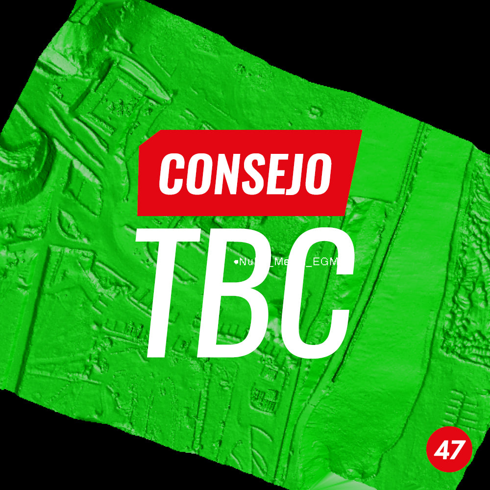
TBC Tip #47 | Coordinate Transformation for Point Clouds
In this tip, we present a workflow for transforming point clouds in (.LAS) format from photogrammetric or LiDAR flights to local coordinate systems using Trimble Business Center.
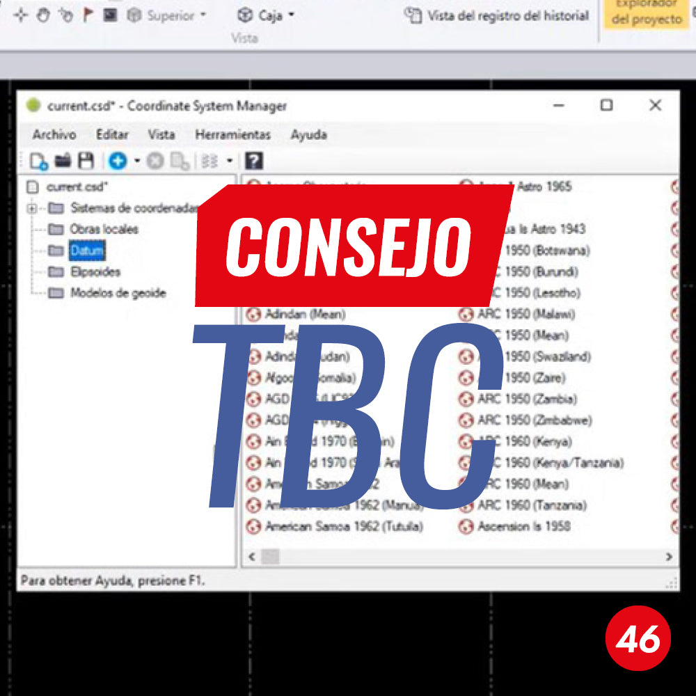
TBC Tip No. 46 | Datum Transformation Parameters in Trimble Business Center
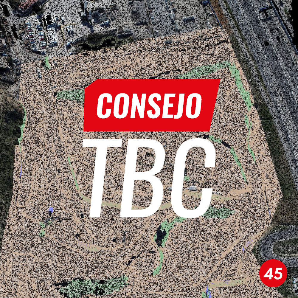
TBC Tip #45 | Creating contours from a point cloud
TBC has a simple and effective tool for its creation, in this case from a point cloud imported in .e57 format, although it can be any point cloud format accepted by the software, whether generated by a laser scanner, photogrammetric images, etc.
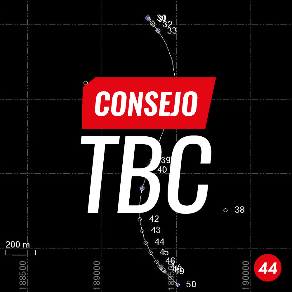
TBC TIP #44 | GRAPHIC ELEMENT TRANSFORMATION
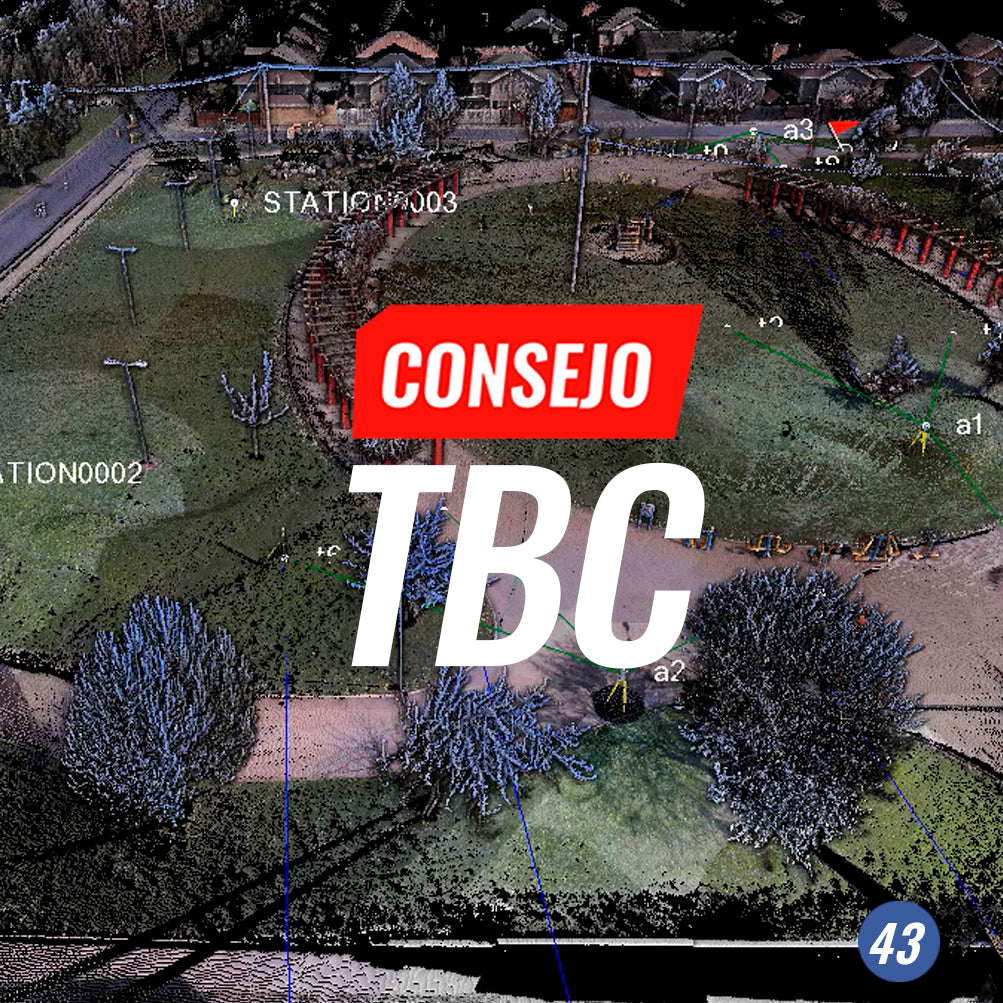
TBC Tip #43 | Extract point feature
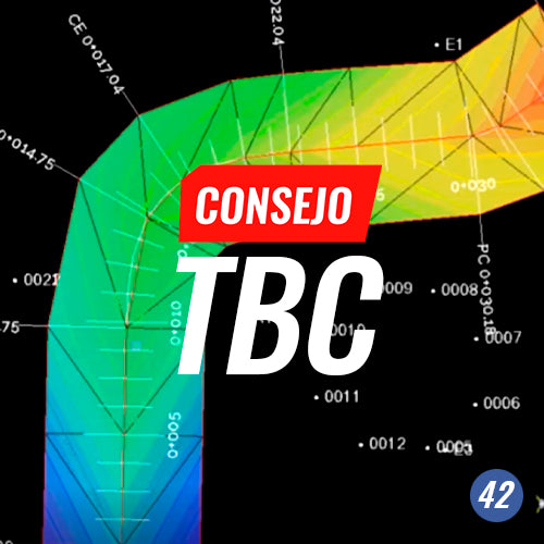
Tip #42 TBC | Data preparation for Trimble SiteVision
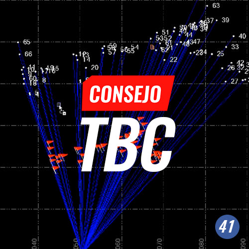
TBC Tip #41 | USING FEATURE DEFINITION MANAGER
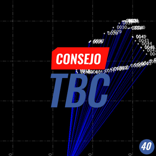
TBC Tip #40 | AUTOMATIC PARCEL LABELING

TBC is software that allows users to work with data from a variety of instruments such as total stations, GNSS, digital levels, laser scanners, and cameras. This wide range generates a multitude of operating options.

TBC Tip #38 | TRAVERSE ADJUSTMENT
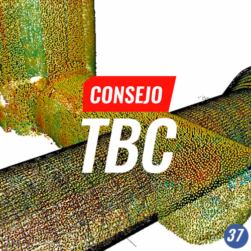
TBC Tip #37 | CUSTOM TUNNEL REPORT
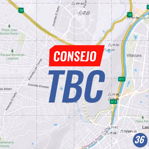
TBC Tip No. 36 | CREATING A LOCAL MAP PROJECTION

TBC Tip #35 | POSTPROCESSING GNSS DATA OBSERVED WITH TERRASYNC
Trimble Business Center's GIS module provides an excellent tool for processing mobile files in SSF format from Trimble TerraSync field software.