TBC Advice

Consejo TBC N° 49 | Creación de ortofotos e imágenes rectificadas

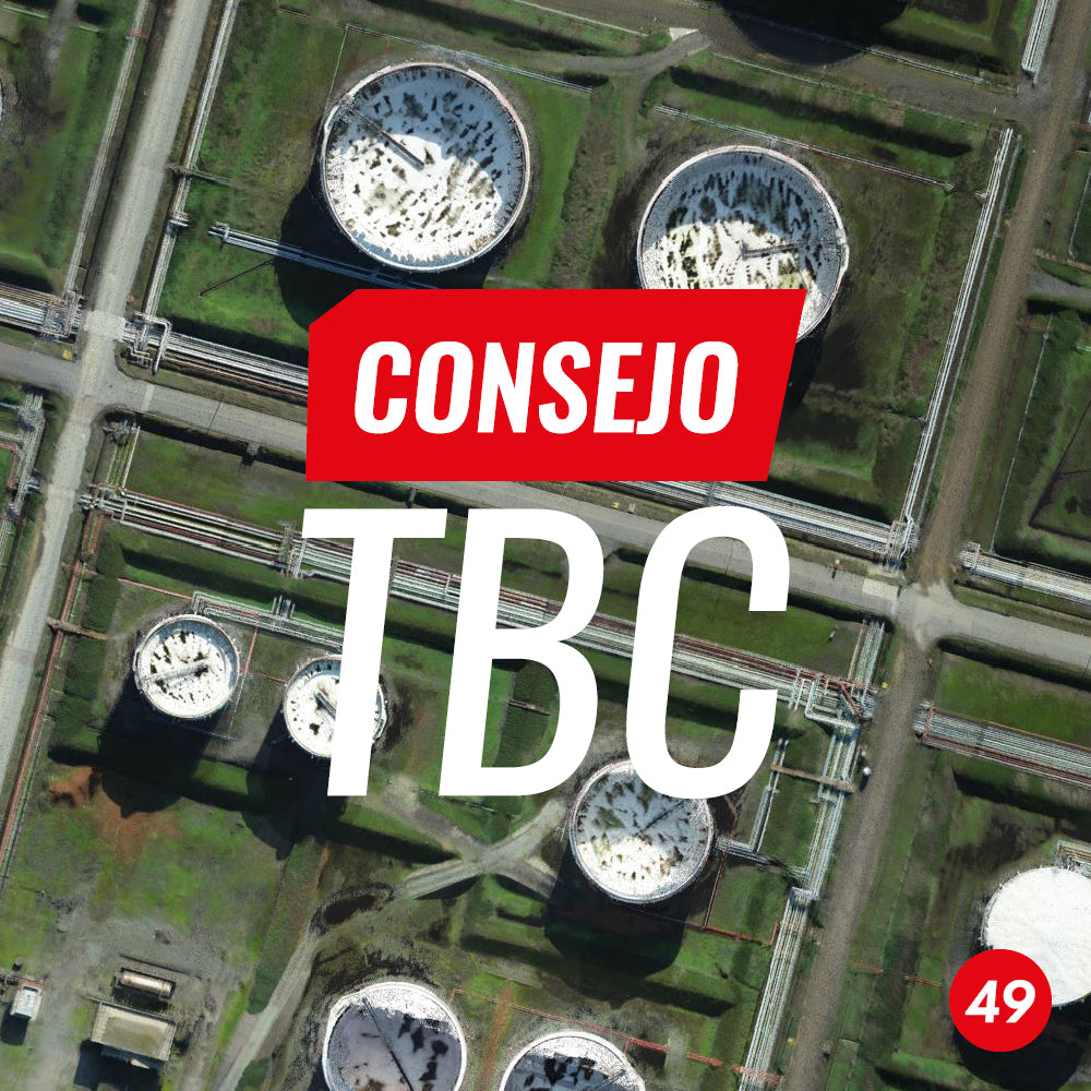
TBC Tip #49 | Creating Orthophotos and Rectified Imagery

In this tip, learn how to generate orthophotos and rectified images with the Trimble Business Center Point Cloud module.

Read more

Consejo TBC N° 48 | Exportación de ortofoto a KML

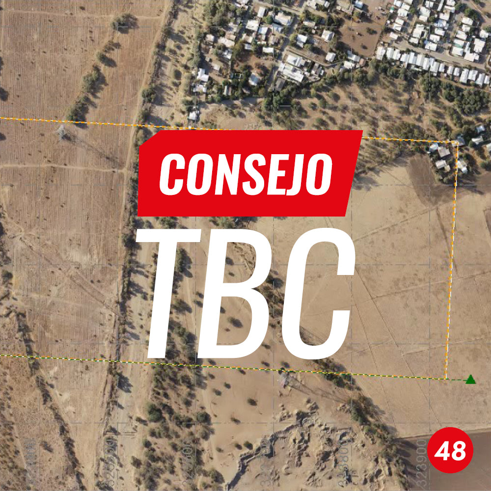
TBC Tip #48 | Exporting an orthophoto to KML

This TBC tip shows the procedure for exporting orthophotos from any sensor in TIF, JPG, or ECW format to KML format from the CAD tools module in TBC.

Read more

Consejo TBC N°47 | Transformación de coordenadas para nubes de puntos

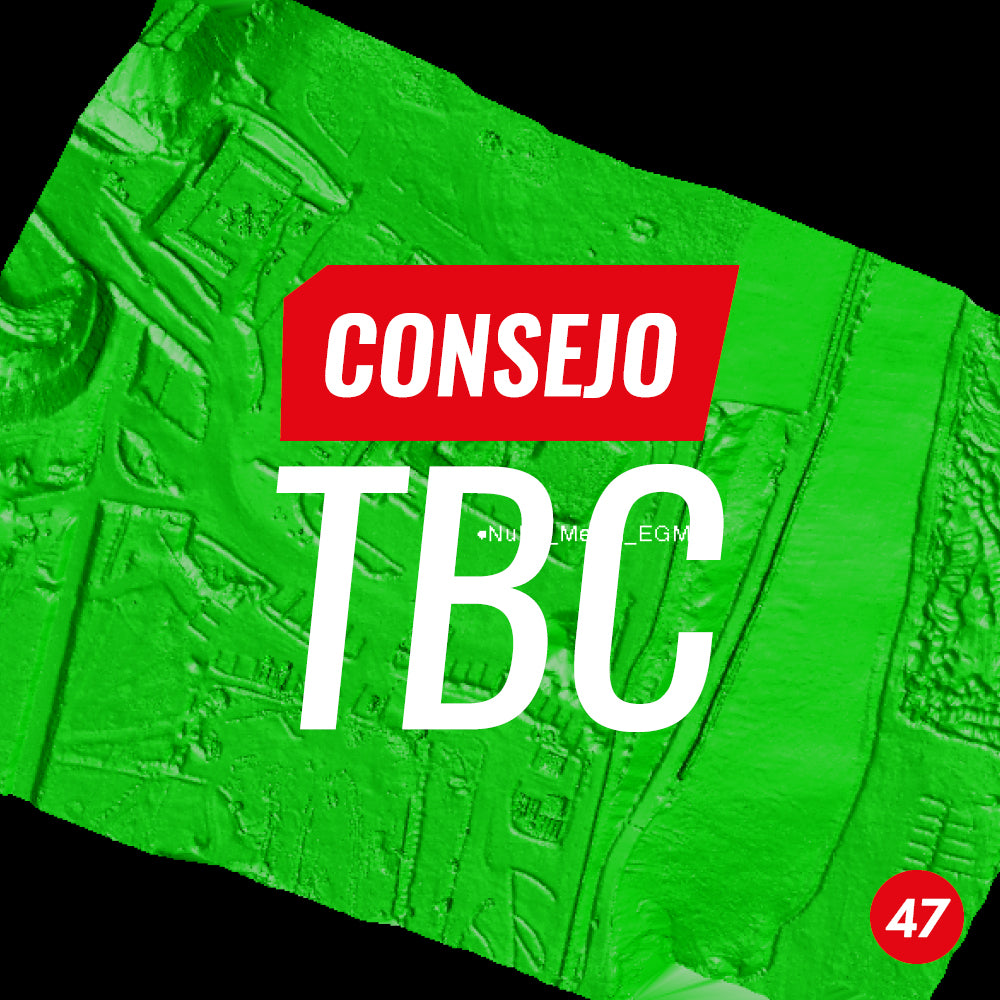
TBC Tip #47 | Coordinate Transformation for Point Clouds

In this tip, we present a workflow for transforming point clouds in (.LAS) format from photogrammetric or LiDAR flights to local coordinate systems using Trimble Business Center.

Read more

Consejo TBC N°45 | Creación de curvas de nivel a partir de una nube de puntos

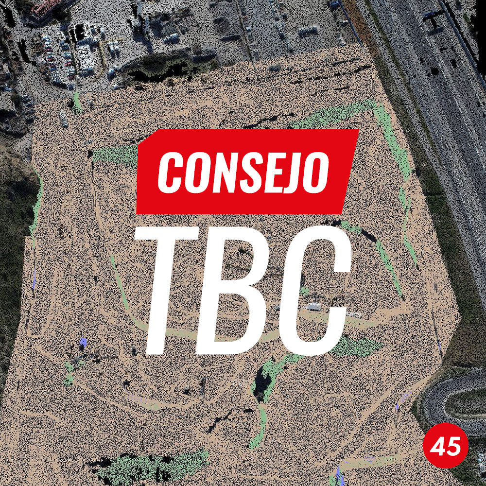
TBC Tip #45 | Creating contours from a point cloud

TBC has a simple and effective tool for its creation, in this case from a point cloud imported in .e57 format, although it can be any point cloud format accepted by the software, whether generated by a laser scanner, photogrammetric images, etc.

Read more

Consejo TBC N°43 | Extraer característica de punto

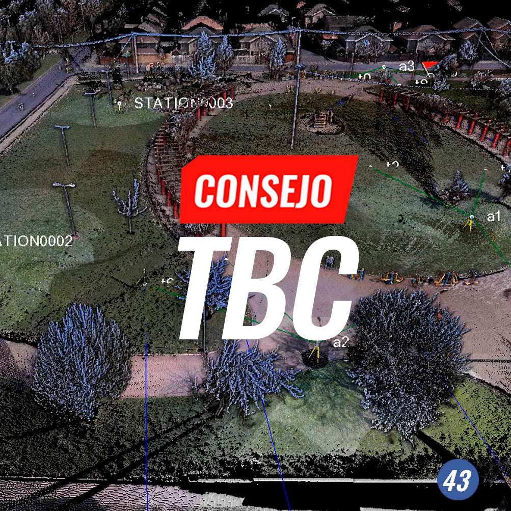
TBC Tip #43 | Extract point feature

Automating topographical processes from point clouds is a very powerful tool, as you can have the terrain in the office and identify point features quickly with a fantastic level of productivity. This TBC tip called Extract Point Features introduces us to this concept.

Read more

Consejo N°42 TBC | Preparación de datos para Trimble SiteVision

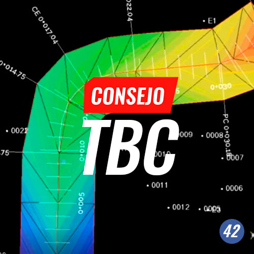
Tip #42 TBC | Data preparation for Trimble SiteVision

Bring your geospatial data to life with the Trimble Business Center Exporter for SiteVision

Read more

Consejo TBC N°41 | UTILIZANDO FEAUTURE DEFINITION MANAGER

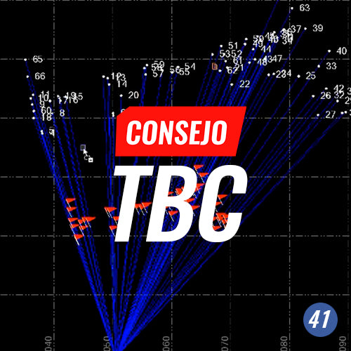
TBC Tip #41 | USING FEATURE DEFINITION MANAGER

Feature Definition Manager is the TBC software tool that allows you to create and manage feature definitions that can be easily used in the field software in order to generate automated topographic survey drawings as well as add more attributes to the surveyed object.

Read more

Consejo TBC N°40 | ETIQUETADO AUTOMÁTICO DE PARCELAS

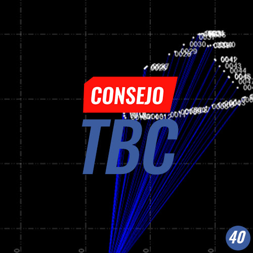
TBC Tip #40 | AUTOMATIC PARCEL LABELING

From data import to final product: Optimize the time spent on graphical representation of parcels by incorporating Trimble Business Center's automated labeling into your workflows.         VIEW ALL TIPS

Read more