

consejoConsejo GEOCOMConsejo TBCConsejo Trimble Business CenterLiDARNube de puntosprocesamiento de nube de puntosTrimble Business CenterUASUAS GEOCOM
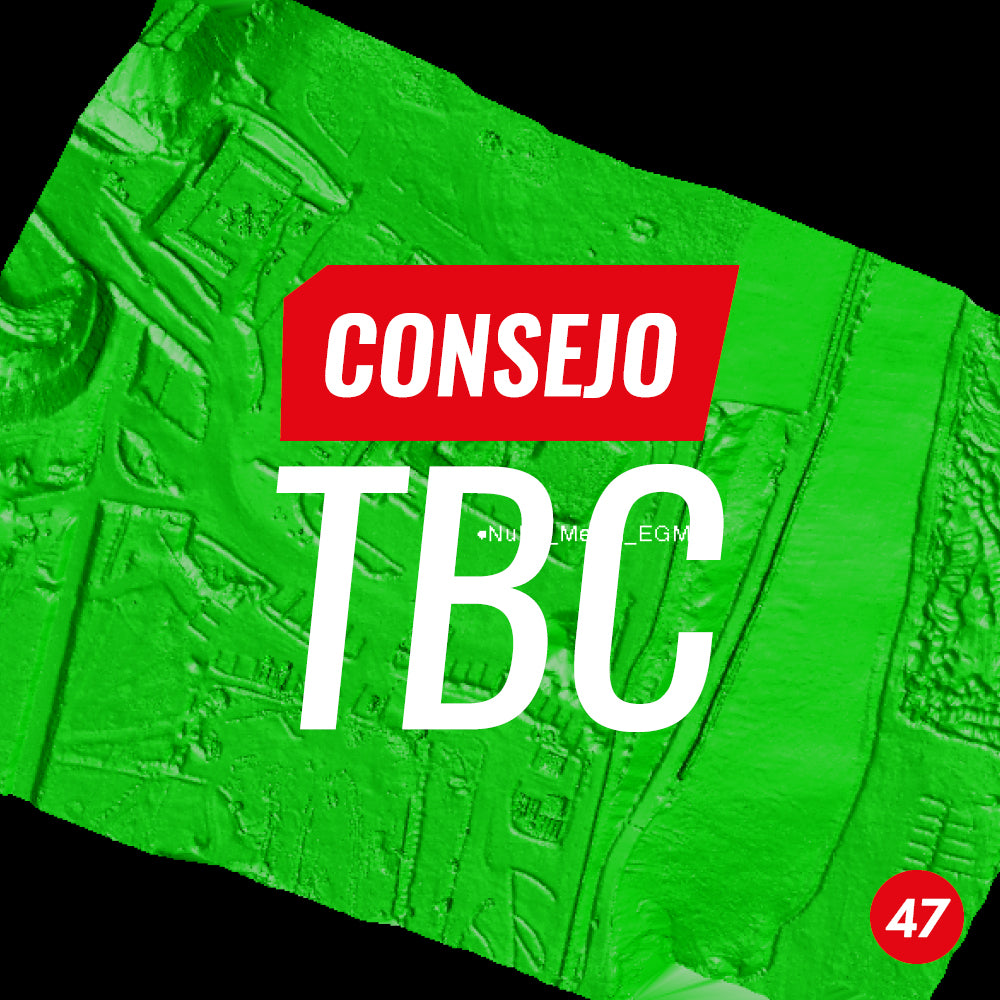
TBC Tip #47 | Coordinate Transformation for Point Clouds
In this tip, we present a workflow for transforming point clouds in (.LAS) format from photogrammetric or LiDAR flights to local coordinate systems using Trimble Business Center.
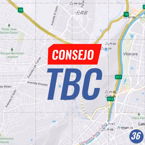
TBC Tip No. 36 | CREATING A LOCAL MAP PROJECTION
Local topographic maps have been a source of cartographic information for the field of engineering and construction.