

TBC Tip #18 | CREATING A ROAD CORRIDOR
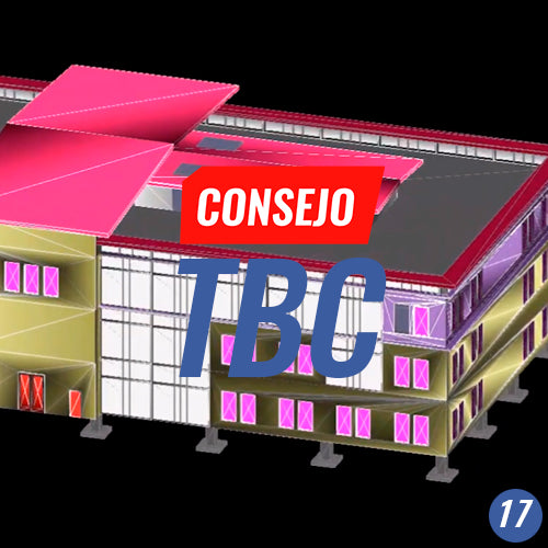
TBC Tip #17 | EXTRACTING LAYOUT POINTS FROM A BIM MODEL
The BIM methodology is being increasingly used in the infrastructure industry, with a special emphasis on being able to share intelligent BIM model information with open and interoperable formats such as the IFC format.
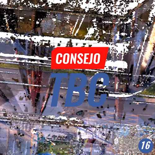
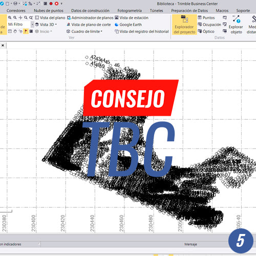
TBC Tip #16 | POINT CLOUD MANAGEMENT TOOLS
Point clouds are here to stay in geospatial data acquisition and processing workflows.
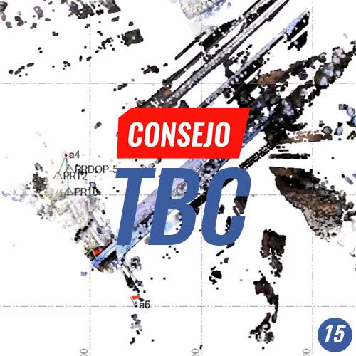
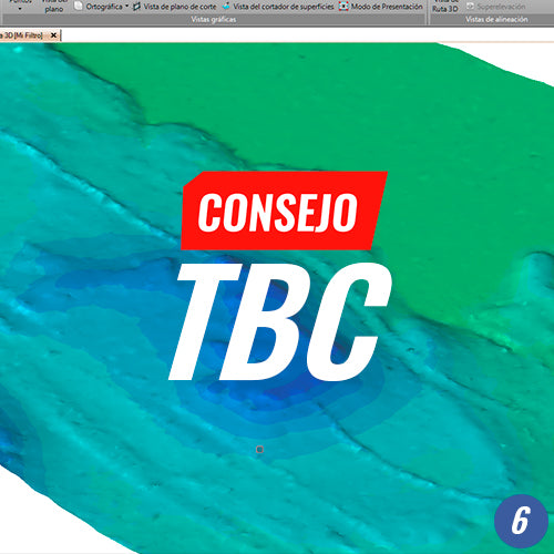
TBC Advice No. 15 | POINT CLOUD REGISTRATION
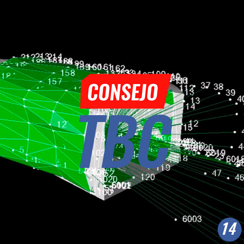
TBC Tip #14 | CONFIGURING A TUNNEL TEMPLATE
Process automation is a key factor in project productivity. The timely delivery of documentation related to the topographic inspection of tunnel construction is critical for decision-making.
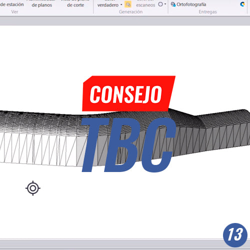
TBC Tip #13 | CREATING A TUNNEL CORRIDOR
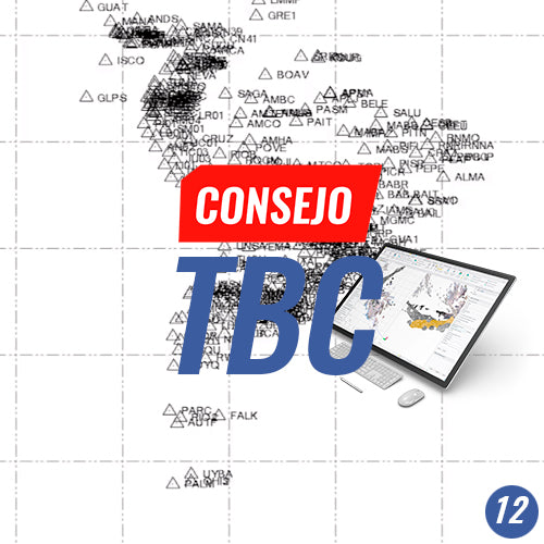
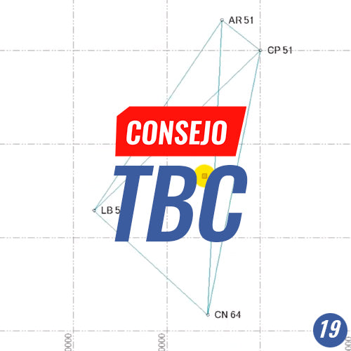
TBC Tip #12 | PROCESSING LONG GNSS BASELINES | GEOCOM GNSS NETWORK CASE STUDY
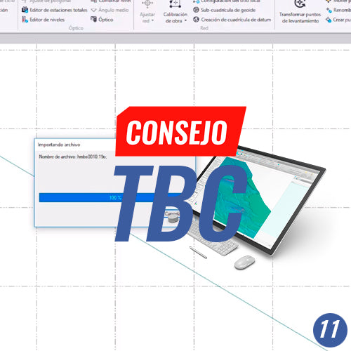
TBC Tip #11 | CONFIGURING AUTOMATIC INTERNET DOWNLOADS: SIRGAS AND GNSS
Configure the download of GNSS observations from reference stations, precise, rapid, and ultra-rapid orbits, as well as Earth orientation parameters to perform high-level GNSS baseline processing.
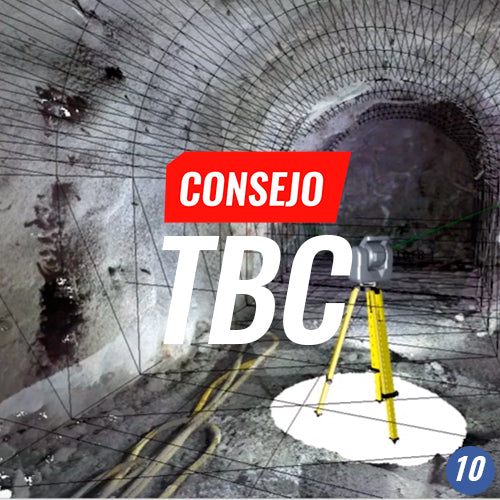
TBC Tip #10 | WORKING WITH LASER SCANNER DATA
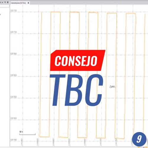
TBC Tip #9 | PHOTOGRAMMETRY: DIRECT GEOREFERENCING
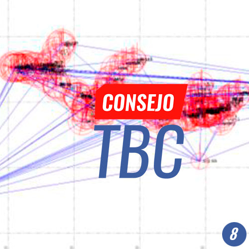
TBC Tip #8 | GNSS Baseline Processing and 3D Network Adjustment
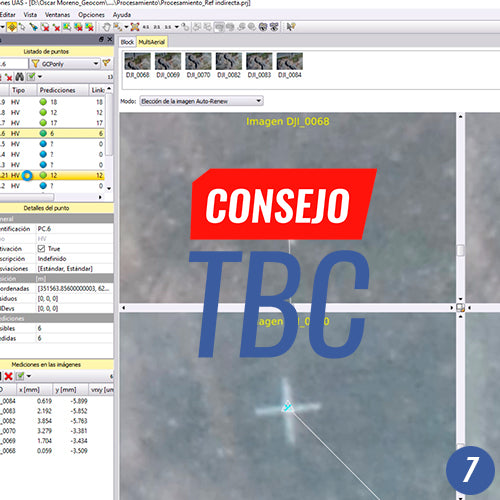
TBC Tip #7 | PHOTOGRAMMETRY INDIRECT REFERENCING
TBC Tip #5 | WORKING WITH FEATURE LIBRARY