

The use of control points to transform aerotriangulated photograph blocks has been extensively used in photogrammetry. However, it is sometimes difficult or simply impossible to take measurements to obtain coordinates on photo-identifiable objects. The direct referencing process allows, at least, to reduce the number of control points and, in some cases, to completely do without them.
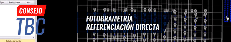
Learn how to perform photogrammetric processes based on the direct referencing technique using UASMaster and TBC.

Tools reviewed
-----------------------------------
00:21 | Importing GNSS aircraft data (forcing kinematic) 00:39 | Importing ephemeris from the internet (only when exclusively importing observation GNSS data)
01:04 | Defining GNSS processing style
01:13 | Processing GNSS baselines
01:32 | Exporting trajectory
02:02 | Changing time format
02:38 | Interpolation of positions
03:42 | Defining a project for UASMaster
03:53 | Defining coordinate system
04:05 | Sending project to UASMaster
04:40 | Importing photographs
05:26 | Reviewing the type of photographic sensor
05:41 | Importing precise photograph positions (incomplete pose)
06:49 | Defining the precision for photograph positions
07:18 | Entering flight altitude
07:28 | Defining flight lines
08:08 | Extracting tie points
08:31 | Calculating external orientation
08:47 | Creating processing report
09:14 | Radiometric optimization
11:20 | Obtaining point cloud
12:18 | Generating orthophoto
13:25 | Sending final products to TBC
Compartir:
TBC Tip #8 | GNSS Baseline Processing and 3D Network Adjustment
TBC Tip #10 | WORKING WITH LASER SCANNER DATA