TBC Advice

Consejo TBC N°34 | INFORME PERSONALIZADO GNSS

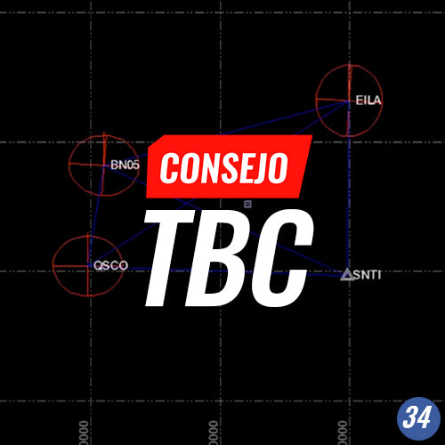
TBC Tip #34 | CUSTOM GNSS REPORT

TBC's custom report allows us to generate documents that automate the production of text-based reports, using the data processed in TBC as a result of a specific job

Read more

Consejo TBC N°33 | CÁLCULO DE LEVANTAMIENTO TOPOGRÁFICOS

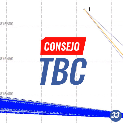
TBC Tip #33 | CALCULATION OF TOPOGRAPHIC SURVEYS

TBC helps centralize all calculations from different topographic surveys, whether performed with GNSS and/or total station, into a single platform, managing different coordinate systems and modifying the origin coordinates of the surveys.

Read more

Consejo TBC N° 32 | MÉTODOS DE CREACIÓN DE PUNTOS

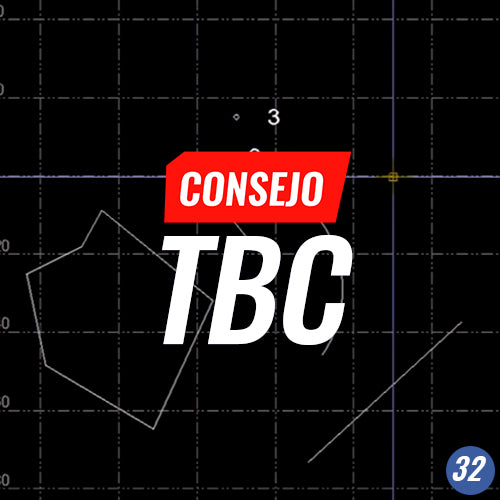
TBC Tip No. 32 | POINT CREATION METHODS

TBC offers a wide variety of point creation methods for topographical drawing.

Read more

Consejo TBC N° 31 | DISEÑO DE PLATAFORMAS

TBC Tip #31 | PLATFORM DESIGN

Use TBC for platform design, considering topographical bases from the most diverse origins: massive or discrete point clouds allow for projecting the hard cut and fill lines from engineering designs.

Read more

Consejo TBC N° 30 | CREANDO PERFIL LONGITUDINAL EN TÚNEL

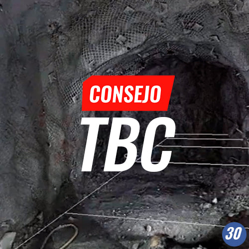
TBC Tip N° 30 | CREATING A LONGITUDINAL PROFILE IN A TUNNEL

The longitudinal tunnel profile, together with the topographic plan, is a required product for topographic control in underground projects.

Read more

Consejo TBC N°29 | GEORREFERENCIACIÓN DE NUBE DE PUNTOS

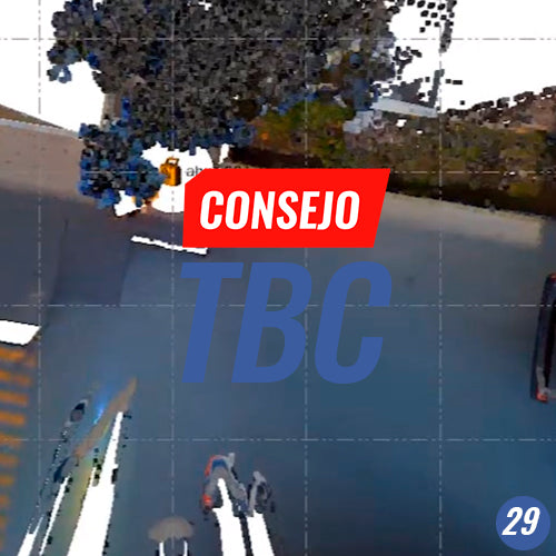
TBC Tip #29 | POINT CLOUD GEORREFERENCING

Apply the georeferencing tool to several point clouds to position them in a given system.

Read more

Consejo TBC N°28 | TRABAJANDO CON EL ADMINISTRADOR DE PLANOS

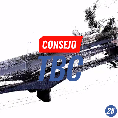
TBC Tip #28 | WORKING WITH THE SHEET MANAGER

2D plans in TBC allow us to obtain geometric information regarding 3D models and/or geospatial data.

Read more

Consejo TBC N° 27 | AJUSTES DE REDES VERTICALES

TBC Council No. 27 | VERTICAL NETWORK ADJUSTMENTS

Calculate and adjust vertical coordinates from geometric leveling observations.

Read more

Consejo TBC N° 26 | GEORREFERENCIACIÓN Y EXPORTACIÓN DE MOLEDOS IFC

TBC Tip #26 | GEORREFERENCING AND EXPORTING IFC MODELS

IFC models are a standard for exchanging BIM models for infrastructure. Therefore, our tools must come with IFC functions to be part of a collaborative BIM workflow.

Read more

Consejo TBC N°25 | CALIBRACIÓN LOCAL

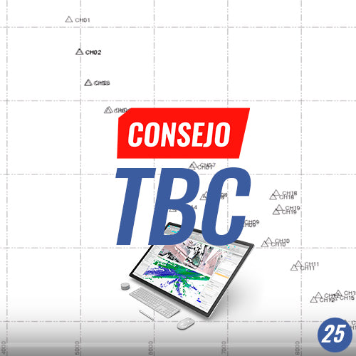
TBC Tip No. 25 | LOCAL CALIBRATION

GNSS, due to its space observation nature, is referenced to a
geocentric reference system.

Read more

Consejo TBC N°24 |  SISTEMAS DE REFERENCIA Y COORDENADAS

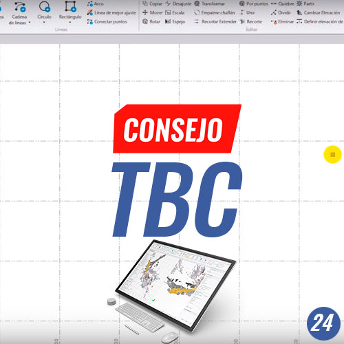
TBC Tip #24 | REFERENCE SYSTEMS AND COORDINATES

Manage various reference systems in TBC using SIRGAS and local datums simultaneously.

Read more

Consejo TBC N°23 | TRIMBLE SYNC, UNA INTRODUCCIÓN A TRIMBLE CONNECT

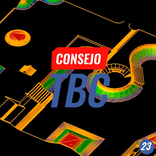
TBC Tip #23 | TRIMBLE SYNC, AN INTRODUCTION TO TRIMBLE CONNECT

Working in the Cloud allows us to collaborate on project development with professionals located in different parts of the world.

Read more

Consejo TBC N° 22 | PROCESAMIENTO CINEMÁTICO GNSS

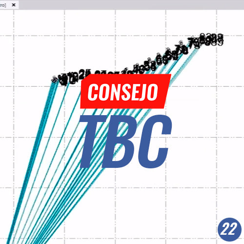
TBC Tip No. 22 | KINEMATIC GNSS PROCESSING

Kinematic processing, or PPK, is a completely viable alternative when RTK is not possible.

Read more

Consejo TBC N°21 | CONFIGURANDO PLANTILLA DE CARRETERA

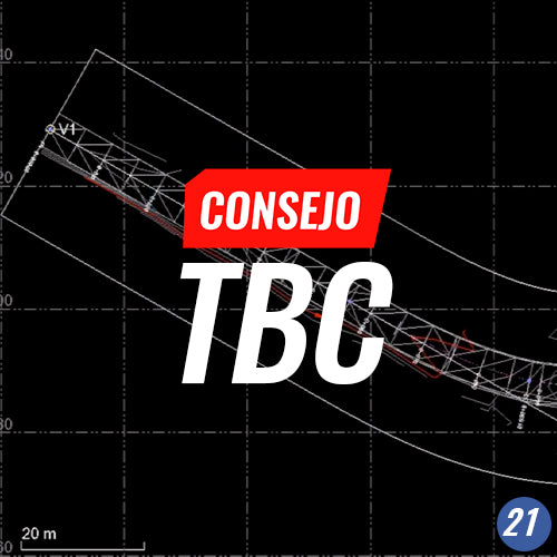
TBC Tip No. 21 | SETTING UP ROAD TEMPLATE

Setting up a road template refers to creating an automated format for reporting the excavation status of a road project or generating plan and longitudinal profile drawings, plus their respective cross-sections.

Read more

Consejo TBC N°20 | DIBUJO LEVANTAMIENTO DESDE NUBE DE PUNTOS

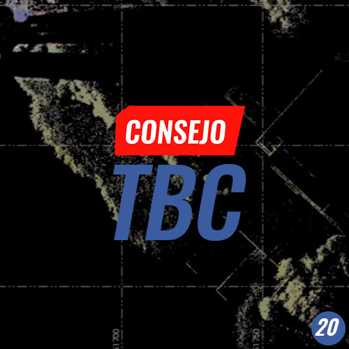
TBC Tip #20 | DRAWING A TOPOSURFACE FROM POINT CLOUDS

CAD Elements are an important tool for our projects, as they allow us to generate the baselines to provide information that results in detailed project modeling. However, it is essential that these elements are drawn from a reliable source of information, such as a correctly captured point cloud.

Read more