RIEGL Tips

Consejo RIEGL N°14 | RiSCAN PRO 2.18.1 – Nuevas Herramientas y Gestión de Nubes de Puntos LiDAR

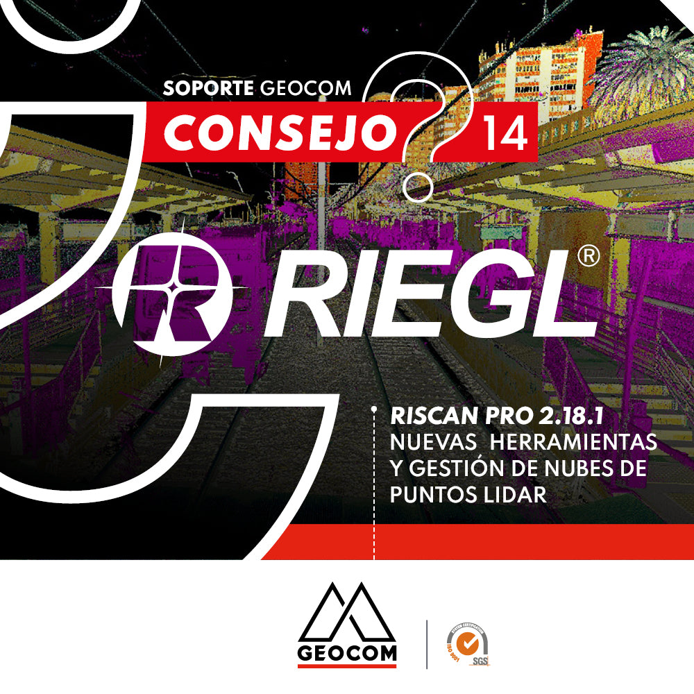
RIEGL Tip #14 | RiSCAN PRO 2.18.1 – New Tools and LiDAR Point Cloud Management

In this tip, we will review the new licensing system and all the notable tools in the new RiSCAN PRO version 2.18.1.

Read more

Consejo RIEGL N°13 | RIEGL VZ-2000i – aplicaciones apps para minería

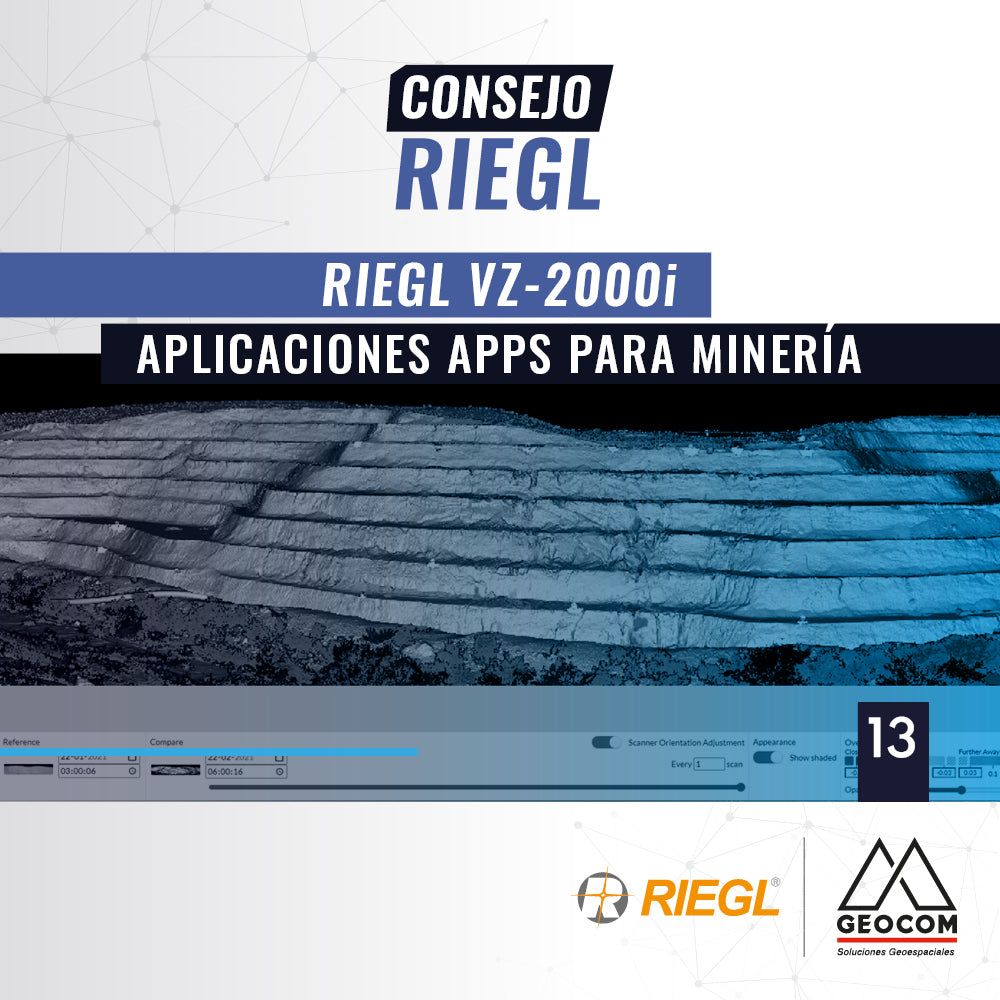
RIEGL Tip #13 | RIEGL VZ-2000i – Apps for Mining Applications

In this new tip, called RIEGL VZ-2000i, APPs for MINING Applications, we will review the main features of this set of tools

Read more

Consejo RIEGL N°12 | RiSCAN PRO – Exportación / Importación: Formatos

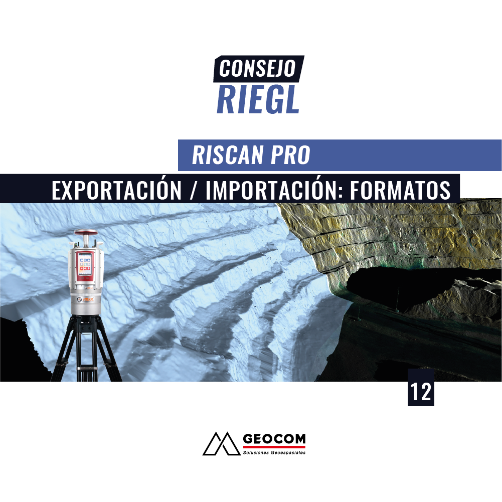
RIEGL Tip #12 | RiSCAN PRO – Export/Import: Formats

In this new RIEGL tip, called RiSCAN PRO – Export / Import, we will review the main formats available in RiSCAN PRO.

Read more

Consejo RIEGL N°11 | RiSCAN PRO - Cálculo de volumen: Tips

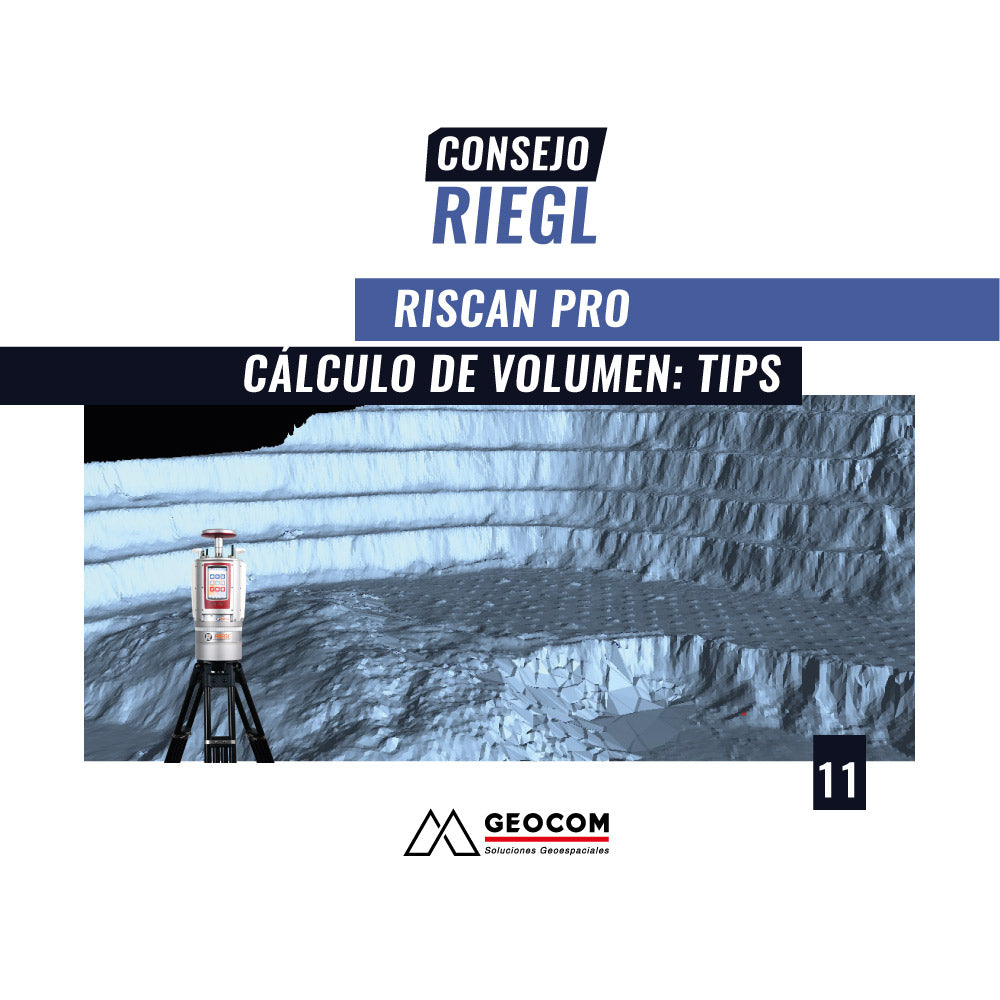
RIEGL Tip #11 | RiSCAN PRO - Volume Calculation: Tips

In this new RIEGL tip, called RiSCAN PRO – Volume Calculation: TIPS, we will review some practical tips to solve requirements when performing volume calculation.

Read more

Consejo RIEGL N°10 | RiSCAN PRO - Cálculo de volumen

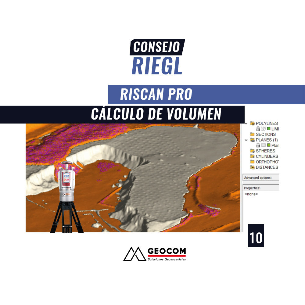
RIEGL Tip #10 | Volume Calculation

In this new RIEGL tip, called RiSCAN PRO – Volume Calculation, we will review the four calculation modes that comprise this module, based on two completed projects.

Read more

Consejo RIEGL N°9 | Consejo RIEGL N°9 | RiSCAN PRO Herramientas Generales

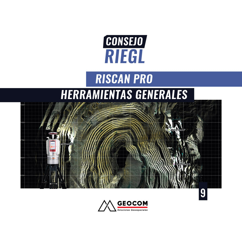
RIEGL Tip No. 9 | RiSCAN PRO: General Tools

In this new RIEGL tip, called RiSCAN PRO – General Tools, we will review the software's composition.

Read more

Consejo RIEGL N°8 | RiSCAN PRO | Reflectividad, Múltiples Retornos del pulso láser: manejo de nube de puntos

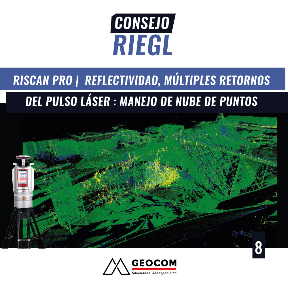
RIEGL Tip #8 | RiSCAN PRO | Reflectivity, Multiple Laser Pulse Returns: Point Cloud Management

In this new RIEGL tip, we will review how these specific features of RIEGL laser scanners help us manage and filter pollution, which is very common in mining projects and characterized by reflectivity.

Read more

Consejo RIEGL N°7 | Módulo Análisis Geológico de Estructuras - LIS GeoTec Plugin

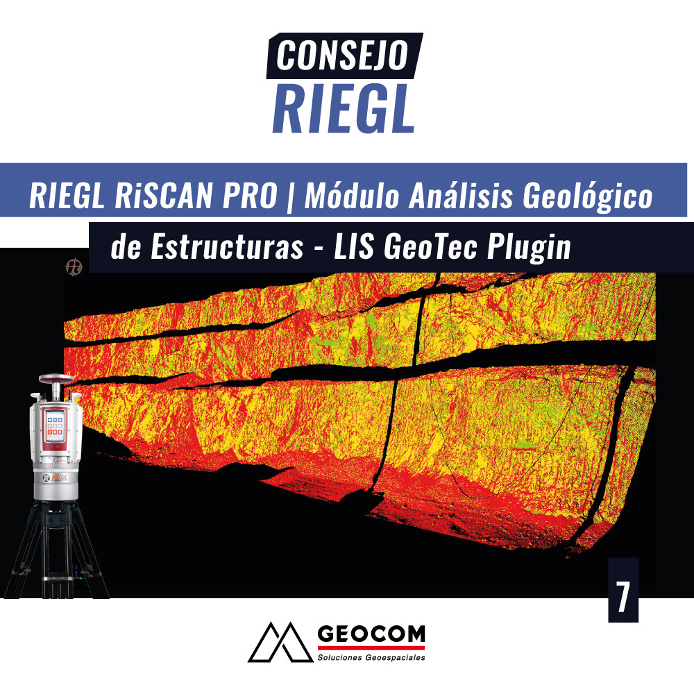
RIEGL Tip No. 7 | Geological Structure Analysis Module - LIS GeoTec Plugin

In this new RIEGL tip, called the Geological Structure Analysis Module using the LIS GeoTec plugin, we will review the main features of working with this module using point clouds obtained with the RIEGL VZ-400i, VZ-2000i, or VZ-4000 scanner series.

Read more

Consejo RIEGL N°6 | RiSCAN PRO: Curvas de Nivel y Perfiles

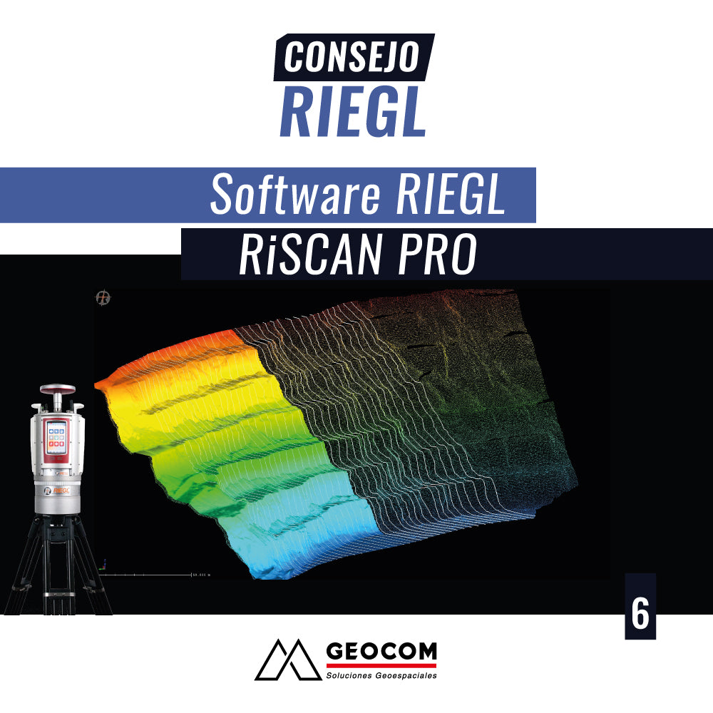
RIEGL Tip No. 6 | RiSCAN PRO: Contour Lines and Profiles

In this new RIEGL tip, we will review the main features of RiSCAN PRO software for generating contours and profiles from a generated surface and exporting them.

Read more

Consejo RIEGL N°5 | RiSCAN PRO: Superficies

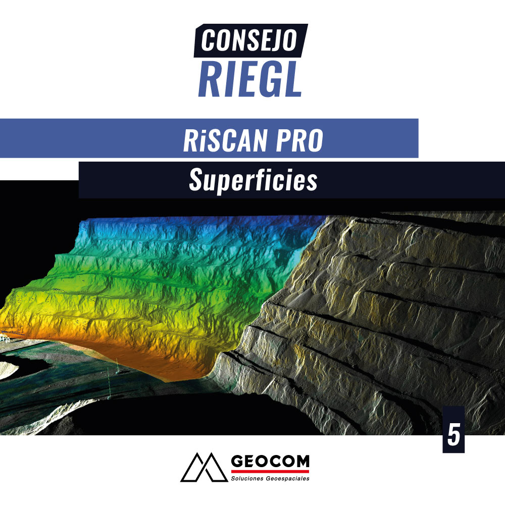
RIEGL Tip #5 | RiSCAN PRO: Surfaces

In this new RIEGL tip, called Surfaces, we will review the main features of the RiSCAN PRO 2.11.0 software for generating surfaces

Read more

Consejo RIEGL N° 4 | RiSCAN PRO - Nubes de Puntos y Filtros

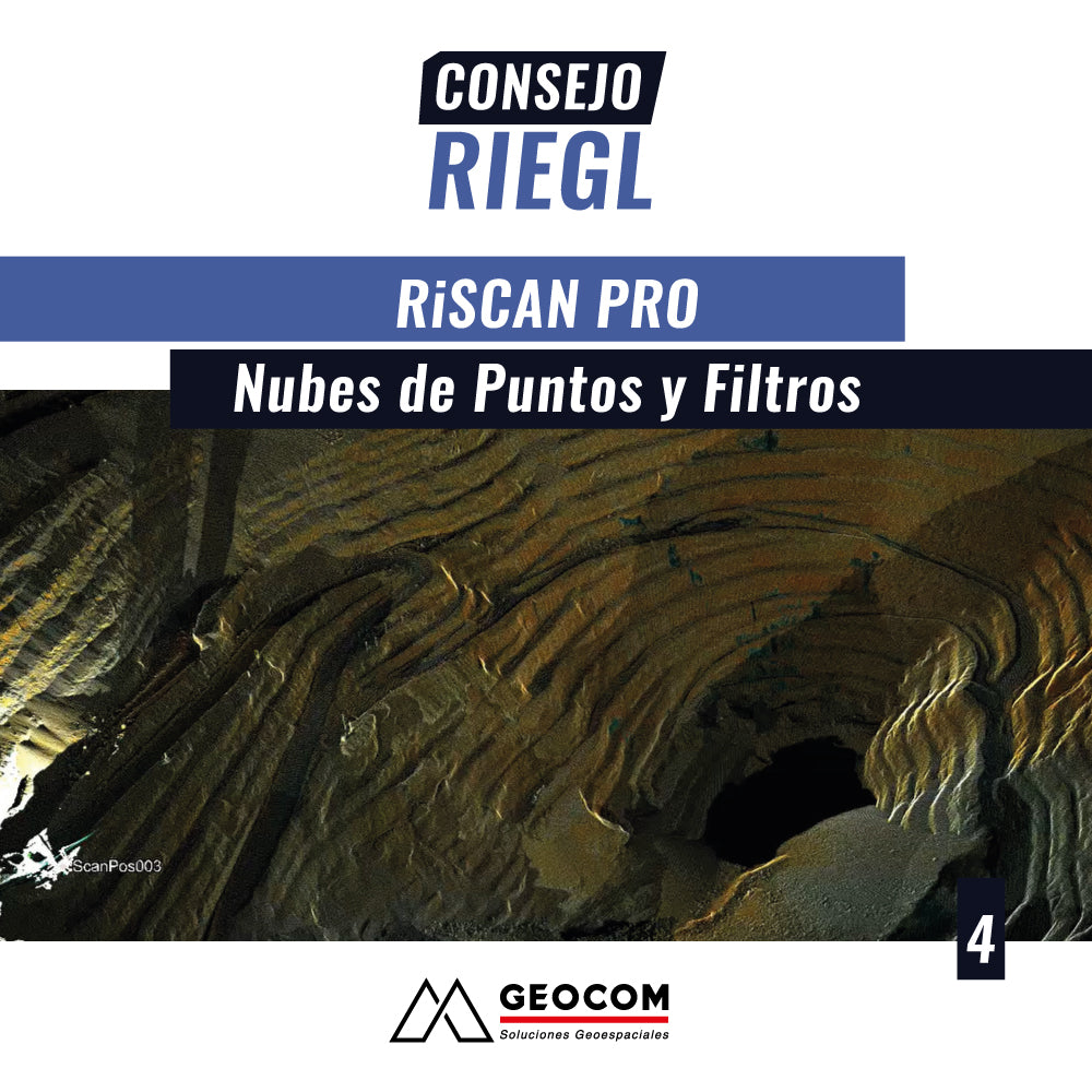
RIEGL Tip #4 | RiSCAN PRO - Point Clouds and Filters

In this new RIEGL tip, called Point Clouds and Filters, we will review the main features that the RiSCAN PRO 2.11.0 software has to manage and administer data captured from the RIEGL laser scanner line or other sensors.

Read more

Consejo RIEGL N°3 | Características Principales RIEGL VZ-i - Alcances y APPs (aplicaciones)

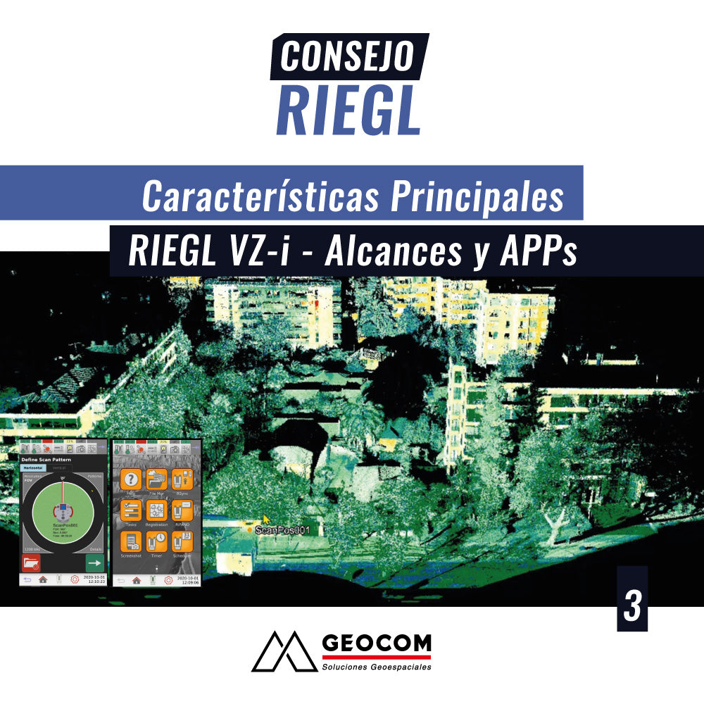
RIEGL Tip #3 | Main Features of RIEGL VZ-i - Ranges and APPs (applications)

In this new Riegl tip, called RIEGL VZ-i Laser Scanner Main Features, Ranges and APPs (applications), we will review the main features of this laser scanner line, ways of operating, concepts to use, and applications programmed in the equipment developed by RIEGL, to deliver results for specific field needs.

Read more

Consejo RIEGL N°2 | Software RIEGL RiSCAN PRO : Módulo Multi Ajuste 2.0

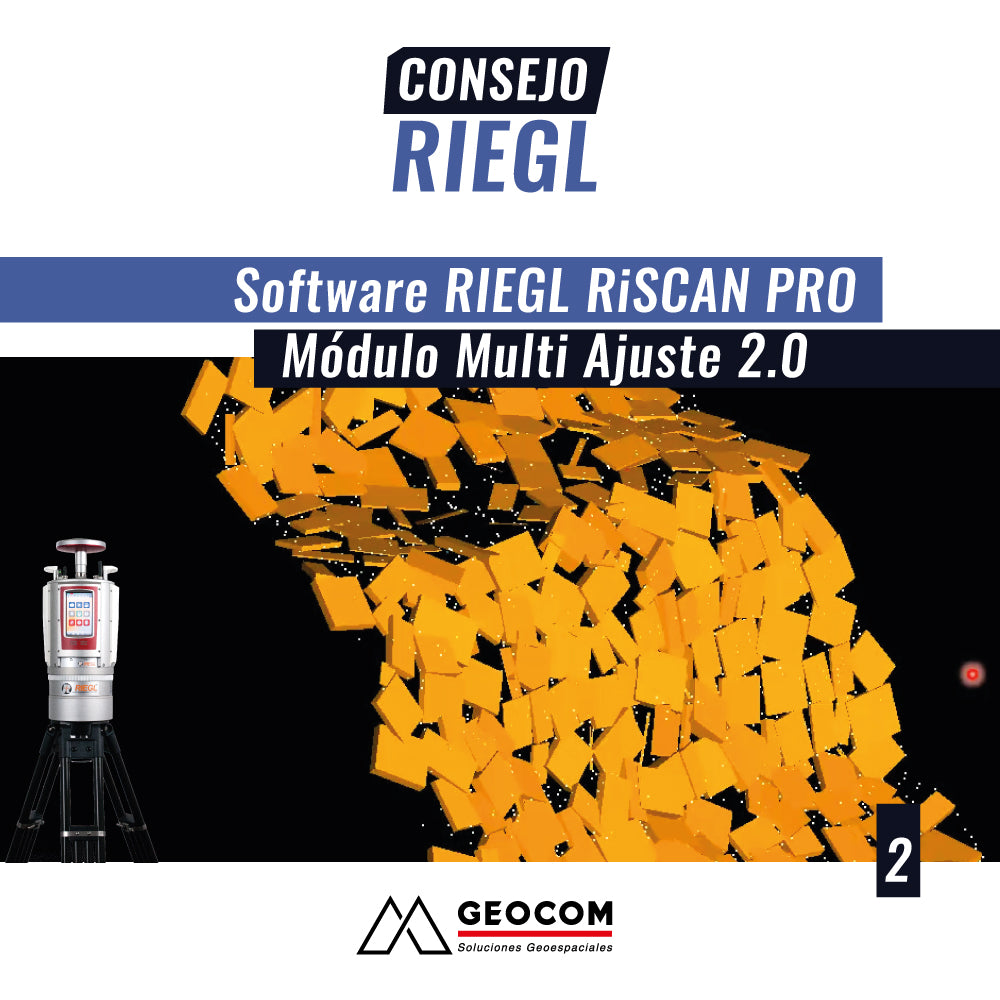
RIEGL Tip #2 | RIEGL RiSCAN PRO Software: Multi Station Adjustment 2.0 Module

In this new RIEGL tip, called Multi-Adjustment Module 2.0 , we will review the main features of this tool, whose main objective is to accurately and robustly register a set of scans taken from different positions, regardless of the work context where the capture is performed: surface in the case of mining pits or in the case of confined areas or underground mines.

Read more

Consejo RIEGL N°1 GEOCOM | Software RiSCAN PRO

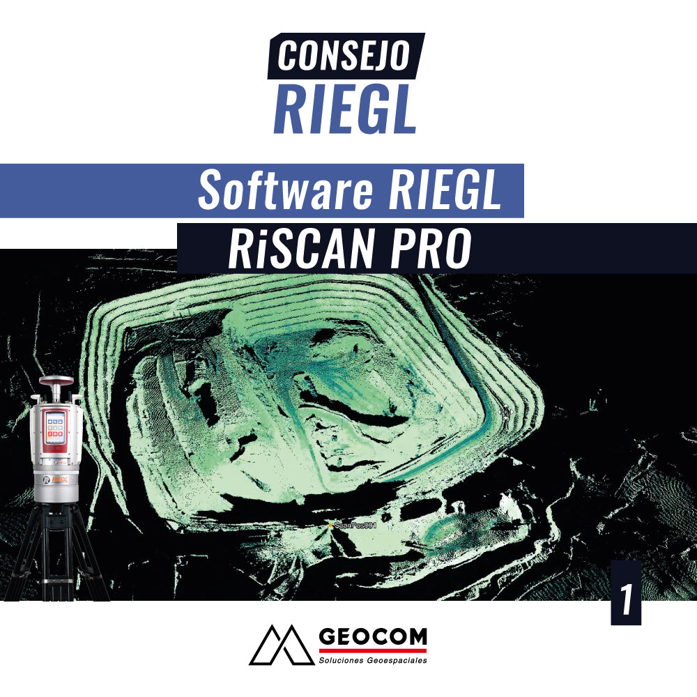
RIEGL Tip #1 | RIEGL RiSCAN PRO Software

Within the workflow of different large-scale projects, both the capture and management of topographical data from 3D scans are of vital importance. This requires high productivity, high precision, and different tools for specific analyses.

Read more