

Consejo RIEGLConsejos RIEGLNube de puntosprocesamiento de nube de puntosRIEGLRiSCAN PROSoftware RiSCAN PROVZ-2000iVZ-400i

RIEGL Tip #14 | RiSCAN PRO 2.18.1 – New Tools and LiDAR Point Cloud Management
In this tip, we will review the new licensing system and all the notable tools in the new RiSCAN PRO version 2.18.1.
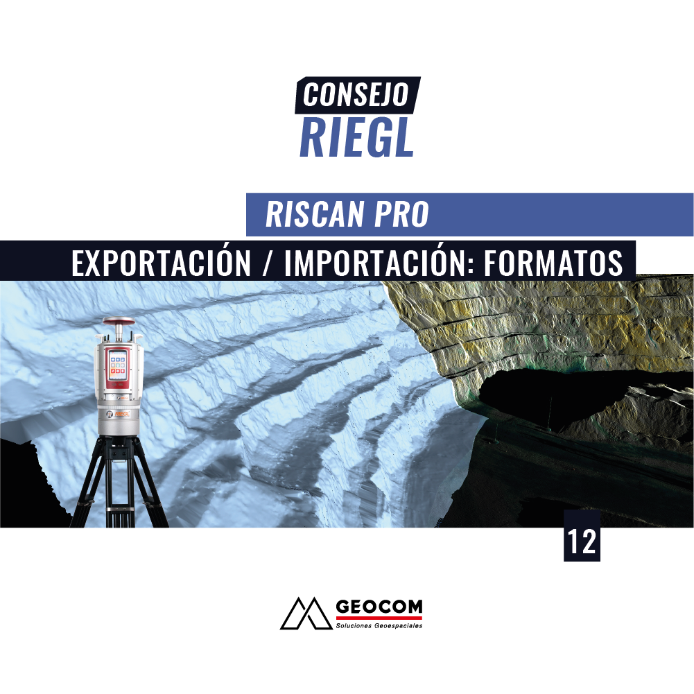
RIEGL Tip #12 | RiSCAN PRO – Export/Import: Formats
In this new RIEGL tip, called RiSCAN PRO – Export / Import, we will review the main formats available in RiSCAN PRO.
Consejo GEOCOMConsejo RIEGLConsejos RIEGLEscáner LáserEscáner Láser Largo AlcanceGEOCOMNube de puntosprocesamiento de nube de puntosRIEGLRiSCAN PROSoftware RiSCAN PRO
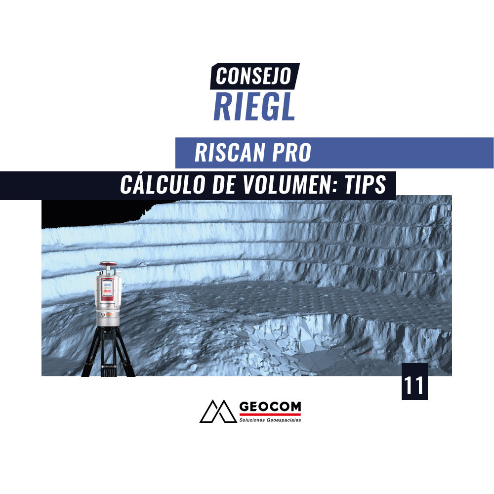
RIEGL Tip #11 | RiSCAN PRO - Volume Calculation: Tips
In this new RIEGL tip, called RiSCAN PRO – Volume Calculation: TIPS, we will review some practical tips to solve requirements when performing volume calculation.
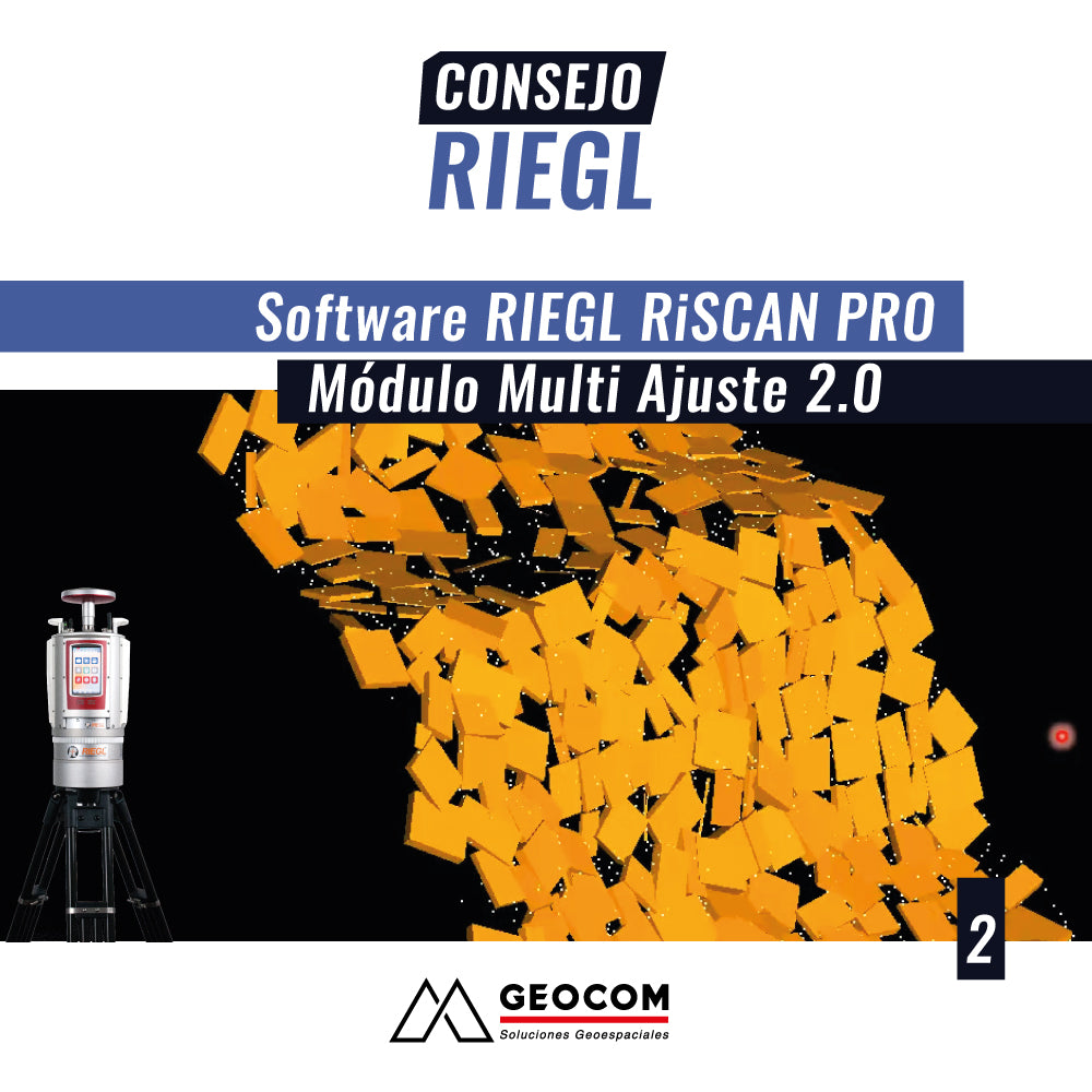
RIEGL Tip #2 | RIEGL RiSCAN PRO Software: Multi Station Adjustment 2.0 Module
In this new RIEGL tip, called Multi-Adjustment Module 2.0 , we will review the main features of this tool, whose main objective is to accurately and robustly register a set of scans taken from different positions, regardless of the work context where the capture is performed: surface in the case of mining pits or in the case of confined areas or underground mines.
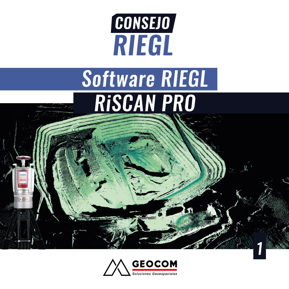
RIEGL Tip #1 | RIEGL RiSCAN PRO Software
Within the workflow of different large-scale projects, both the capture and management of topographical data from 3D scans are of vital importance. This requires high productivity, high precision, and different tools for specific analyses.