

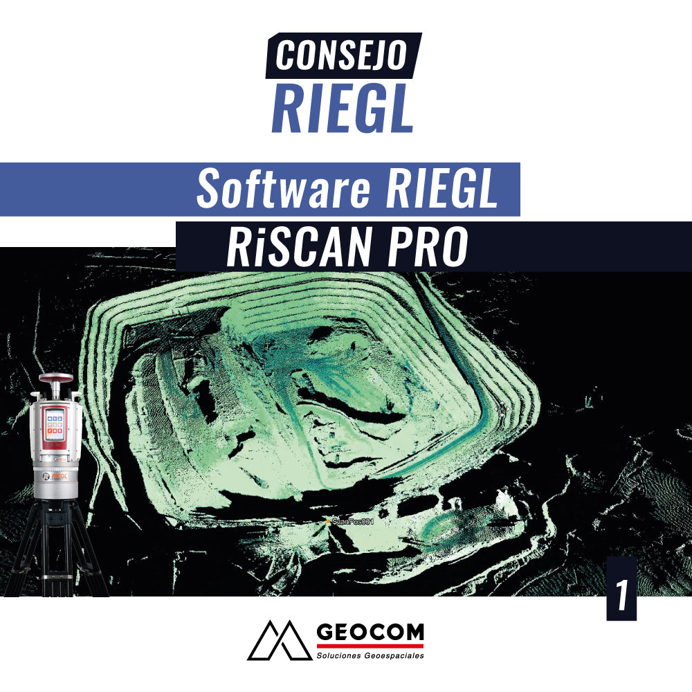
In the workflow of different large-scale projects, both the capture and management of topographic data from 3D scans are of vital importance. This requires high productivity, high precision, and different tools for specific analyses.
This is the case of the RIEGL RiSCAN PRO software, which is the perfect complement to captures made with RIEGL Terrestrial Laser Scanners (TLS). With advanced features for point cloud optimization, such as automatic registration, adjustment of multiple scanning stations, flexible filtering tools, data combination, and high-performance 3D visualization capabilities, RiSCAN PRO provides a fully integrated solution for producing accurate and refined TLS point cloud data.
This tip presents the main features of RiSCAN PRO software, through the development of a workflow, from the management of data captured in the field, automatic registration of the different scanner positions, and data management, using automatic filters and 3D surface generation, as the main deliverable for a series of analyses.
Compartir:
RIEGL Tip #2 | RIEGL RiSCAN PRO Software: Multi Station Adjustment 2.0 Module