

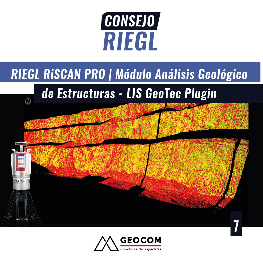

In this new RIEGL tip, called the Geological Structures Analysis Module using the LIS GeoTec plugin, we will review the main features of working with this module from the point cloud obtained with the RIEGL VZ-400i, VZ-2000i, or VZ-4000 scanner series.
The Lis GeoTec module is a very important Geological tool for Geotechnical Analysis for working with point clouds, performing a structural geological classification in the measurements, obtaining stereographic projection visualization from the point cloud, of the direction and dip. It allows the configuration and management of important parameters to identify, which are defined by the user.
Compartir:
RIEGL Tip No. 6 | RiSCAN PRO: Contour Lines and Profiles
RIEGL Tip #8 | RiSCAN PRO | Reflectivity, Multiple Laser Pulse Returns: Point Cloud Management