TRW Board

CONSEJO TRW N°14 | FLUJO TOPOGRÁFICO: VOLÚMENES Y PERFILES

TRW TIP #14 | TOPOGRAPHIC FLOW: VOLUMES AND PROFILES

To maintain qualitative and quantitative control in earthworks, volumetric calculation of the captured surfaces is essential. As is the 2D design of the same using profiles.

Read more

Consejo N°13 | FLUJO TOPOGRÁFICO:  GENERAR SUPERFICIES

Tip #13 | TOPOGRAPHIC WORKFLOW: GENERATING SURFACES

The surface is a 3D representation formed by consecutive triangles; this mesh helps us obtain topographic products such as volume calculations, profiles, Digital Terrain Models (DTMs), and contour lines.

Read more

Consejo TRW N°12 | FLUJO TOPOGRÁFICO: HERRAMIENTAS DE DIBUJO

TRW Tip #12 | TOPOGRAPHICAL FLOW: DRAWING TOOLS

One of the most common tasks in surveying is the creation of maps and vectorization of information. To optimize these processes, Trimble RealWorks offers a series of automatic and assisted tools that facilitate...

Read more

CONSEJO TRW N°11 | INSPECCIÓN CON MODELOS BIM

TRW TIP #11 | INSPECTION WITH BIM MODELS

Using reality to validate our designs is essential to ensure the integrity of our BIM models.

Read more

Consejo TRW N°10 | COMPARTIR INFORMACIÓN HERRAMIENTAS MULTIMEDIA

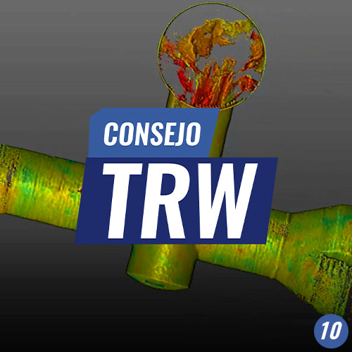
TRW Tip #10 | SHARING MULTIMEDIA TOOLS

Sharing projects easily is a very important tool present in Trimble RealWorks.


Read more

Consejo TRW N°9 | SCAN EXPLORER, EXTRAER INFORMACIÓN EN AMBIENTE 2D

TRW Tip #9 | SCAN EXPLORER, EXTRACTING INFORMATION IN A 2D ENVIRONMENT

Scan Explorer, is a powerful tool that facilitates the extraction of information in projects, without the need to work with the point cloud in 3D.

Read more

Consejo TRW N°8 | EDICIÓN ESPACIAL DE NUBE DE PUNTOS

TRW Tip #8 | POINT CLOUD SPACE EDITION

The "Point Cloud Special Edition" is a very useful tool in Trimble RealWorks, which allows for varying the spatial resolution of data captured in the field, thus enabling better information management, and on the other hand, optimized export to other software.

Read more

CONSEJO TRW N°7 | EDITAR NUBE DE PUNTOS

TRW TIP #7 | EDIT POINT CLOUD

Segmenting a point cloud allows us to work with cloud sections, which speeds up the delivery of final results.

Read more

Consejo TRW N°6 | GESTIÓN VISUAL DE NUBE DE PUNTOS

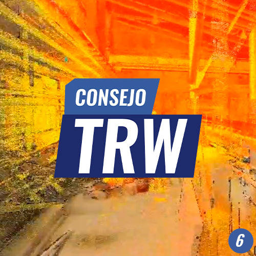
TRW Tip #6 | VISUAL MANAGEMENT OF POINT CLOUDS

The visual management tools in Trimble RealWorks allow us to optimize our production work for both cloud cleanup and final product generation.

Read more

Consejo TRW N°5 | GEORREFERENCIACIÓN

TRW Tip #5 | GEOLOCATION

Trimble RealWorks' Georeferencing tool allows us to characterize our point cloud with a defined coordinate system, which can be either global or local depending on our project's needs

Read more

Consejo TRW N°4 | GEORREFERENCIACIÓN  DE NUBE DE PUNTOS

TRW Tip #4 | POINT CLOUD GEOREFERENCING

Georeferencing is a tool in Trimble RealWorks that will allow us to give position and orientation to our surveys, and from there to take them to global coordinate systems or to project coordinate systems.

Read more

Consejo TRW N°3 | REGISTRO BASADO EN NUBES DE PUNTOS

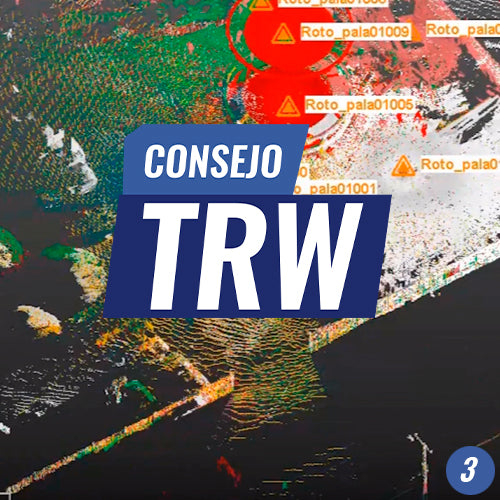
TRW Tip #3 | POINT CLOUD REGISTRATION

Cloud-based registration is the most versatile method for aligning scans among the registration options offered by RealWorks.

Read more

Consejo TRW N°2 | REGISTRO POR OBJETOS

TRW Tip #2 | OBJECT REGISTRATION

Use the powerful Trimble RealWorks Laser Scanner Point Cloud Manager to register your surveys, using advanced object registration tools (spheres and targets).

Read more

Consejo TRW N° 1 | REGISTRO DE NUBE POR PLANOS VERTICALES

TRW Tip #1 | CLOUD PLOTTING BY VERTICAL PLANES

Registration is the first step to being able to generate a consistent point cloud from a static scanner. In LiDAR, "Register" comes from the English word "Register," which has the synonym "Align."

Read more