

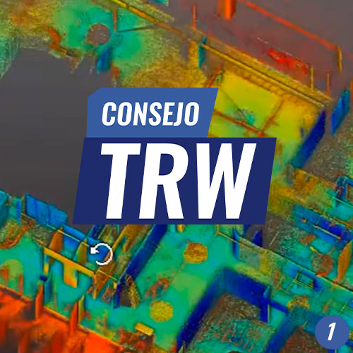

Registering is the first step to generate a consistent point cloud from a static scanner. In LiDAR, "Register" comes from the English word "Register," which is synonymous with "Align." This is why we must understand the registration process as a position alignment process. When performing scanning positions, we generate point clouds that must be aligned with others to assemble the final point cloud. By default, we do not know the location or orientation of each position, so we must register to find them. To register, it is necessary to find common elements within each of the clouds resulting from the positions.

TOOLS REVIEWED
00:09 | Import and Register
00:11 | Save RWP Project
00:34 | Import Scan Position Files
00:57 | Sampling
01:09|Registration Options
01:30 | Registration Report
02:11 | Point Cloud Visualization
02:32 | Visual Verification of Registration
VIEW ALL TIPS
Compartir:
TRW Tip #2 | OBJECT REGISTRATION