


LiDAR captures in motion offer significant benefits in terms of safety, productivity, and representativeness of the recorded data. In this field, the possibility of performing these surveys on airborne platforms opens up a wide range of possibilities and new applications. In this scenario, the incorporation of DJI Zenmuse L1 technology offers a stable and highly accurate solution for use in geospatial data acquisition workflows in different applications.
In the following webinar, we will explore the solution provided by DJI Zenmuse L1 and how the incorporation of this airborne technology facilitates data acquisition and results in multiple applications and daily tasks of the mining process. In addition, we will see how it is possible to integrate these workflows into other projects.

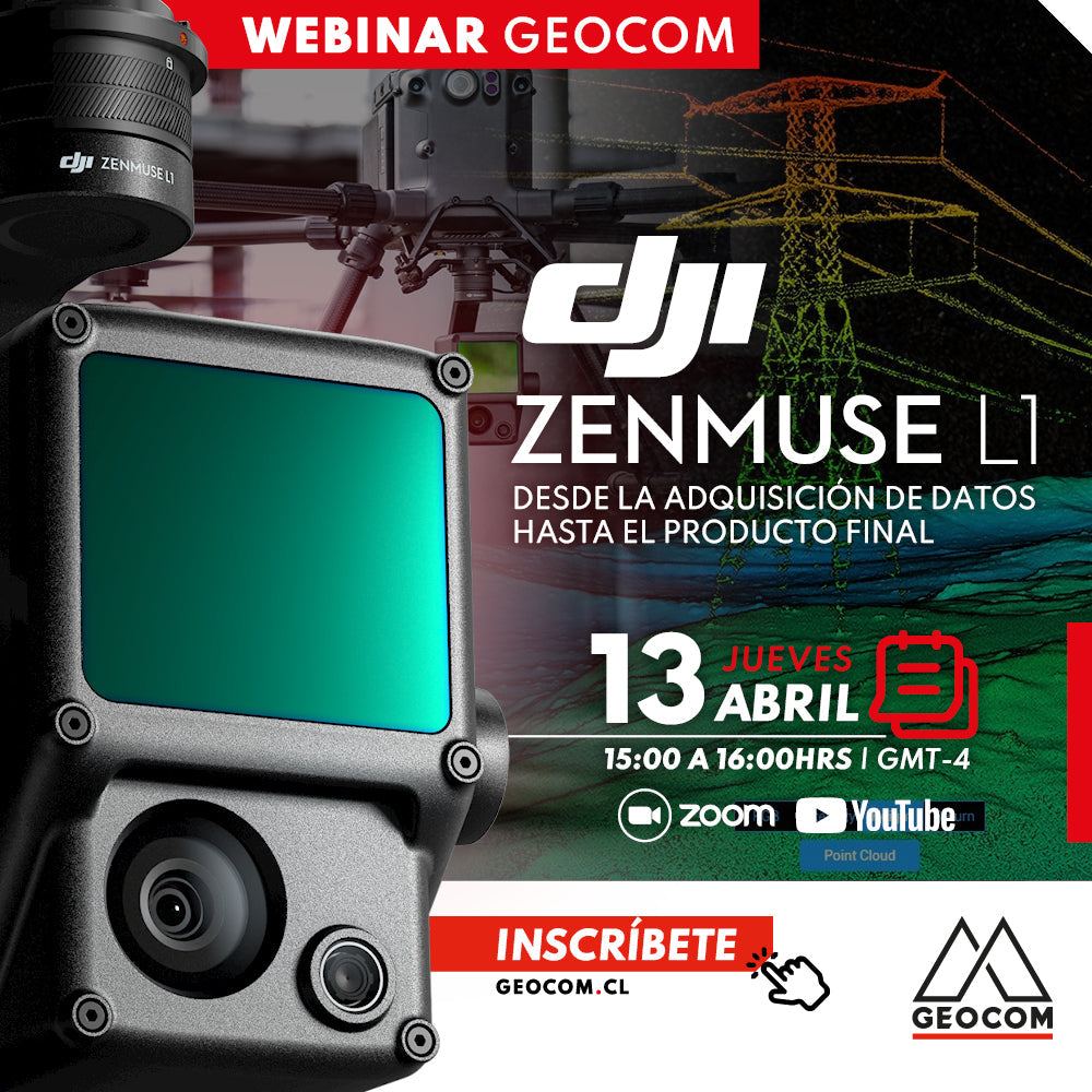
 THURSDAY, APRIL 13 | 3:00 PM TO 4:00 PM - GMT-4 | VIA ZOOM & YOUTUBE LIVE
AGENDA
| ⨭ Concepts of geospatial data acquisition in motion |
| ⨭ Benefits of airborne LiDAR |
| ⨭ DJI Zenmuse L1 |
| ⨭ LiDAR data analysis and management |
| ⨭ Applications, results and final products |

INSTRUCTORS

José Antonio Carrasco | GNSS & Optics Solutions Specialist
Execution Engineer in Geomensura from UTEM with 21 years of experience. Postgraduate Diploma in Tunnels and Underground Spaces from the University of Chile, Diploma in Information and Communication Technologies for university teaching from the National Autonomous University of Mexico and UTEM. Specialist in Geodesy and Topography applied to engineering and construction projects for mining infrastructure. He has worked as an Engineer at SHOA and CODELCO VP as Geomensura discipline leader for the Andina Project Portfolio, today as Coordinator of the GEOCOM Support area, integrating geospatial capture techniques into automated deliverable solutions for engineering and construction. Professor at Santo Tomás University for the Civil Mining Engineering and Geology programs.

José Salas | Laser Scanner Support Engineer
Execution Engineer in Geomensura from USACH with 14 years of experience in various areas including GNSS and LiDAR. He has experience in the use of both terrestrial and mobile LIDAR sensors for different applications.

Compartir:
Real-time direct referencing with Trimble R12i
Trimble S5 + TDC600