

Ala fijaDronDron Ala fijaDroneseMotionFotogrametríaGEOCOMNoticia UASNoticias UASSenseFlySoftware eMotionUASUAS GEOCOM
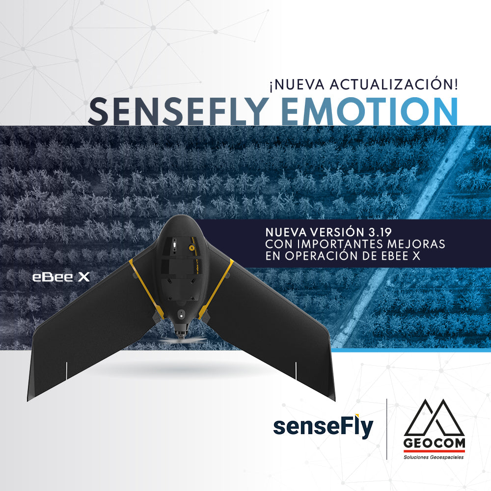
New update | senseFly eMotion 3.19
The new version 3.19 of senseFly's eMotion software is now available, bringing significant improvements to eBee X operation.
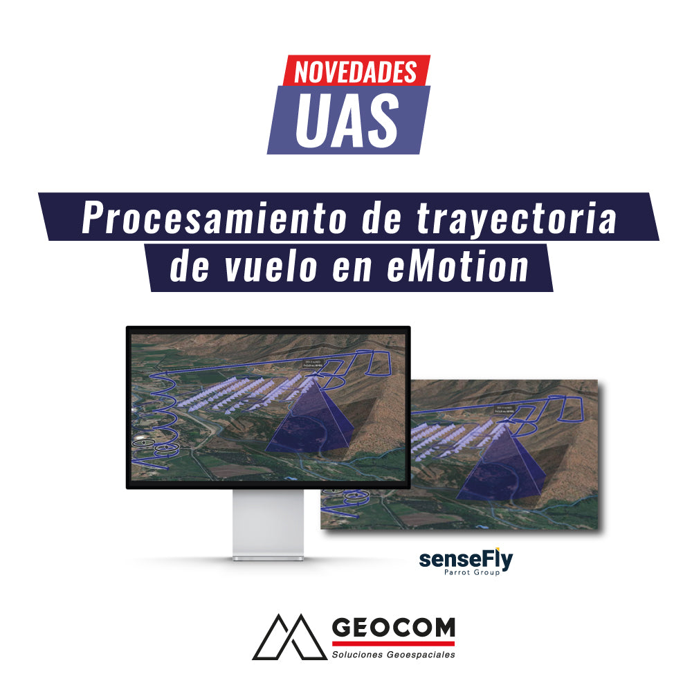
UAS News | Flight Path Processing in eMotion
Flight path processing in eMotion Direct Georeferencing The SenseFly eBee X features a high-precision GNSS receiver, which provides precise positioning at all times through RTK and/or PPK positioning.

UAS News | THERMAL SENSORS: REAL-TIME INSPECTION
Currently, remote sensing monitoring at the local scale is increasing exponentially. This is due to great technological advances in recent years and the emergence of unmanned aerial systems as working tools in photogrammetric surveys and/or real-time visual inspection, along with their ability to carry a variety of sensors.
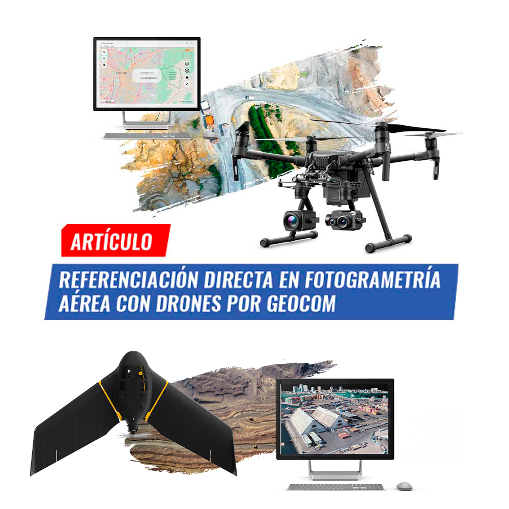
Direct Georeferencing in aerial photogrammetry with drones by GEOCOM
Photogrammetry has contributed greatly to data acquisition for topographic representation at various scales. Clearly, UAS (Unmanned Aerial Systems), better known as drones.