

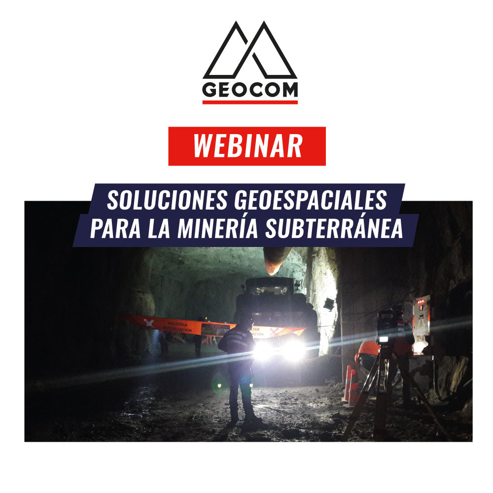

Together with our expert underground mining engineers Osvaldo Neira and José Carrasco, we will hold the webinar "Geospatial Solutions for Underground Mining." We will explain everything from precise positioning using total stations with automatic aiming to the detailed representation that a laser scanner can provide. We will delve into practical industry cases through the technical vision offered by the geospatial field.
AGENDA
- Use of automatic aiming for precise observation in traverses
- Positioning through Trimble's tunnel module
- Massive representation through laser scanning
- Surveying of cavities and stopes using a portable laser scanner
Speakers
OSVALDO NEIRA FIGUEROA | LASER SCANNER DIVISION SUPPORT ENGINEER GEOCOM
Geodetic Execution Engineer with 13 years of experience, specializing in terrestrial LIDAR technology and unmanned aerial lasers, previously worked in machine control at GEOCOM.
JOSÉ CARRASCO | GEOCOM SUPPORT COORDINATOR
Geodetic Engineer from the Metropolitan Technological University with 21 years of experience. Specialist in Geodesy and Topography applied to engineering and construction projects for mining infrastructure. He has worked as an Engineer at SHOA and Discipline Leader for CODELCO's Project Vice Presidency, and currently as a Specialist in GNSS & Optical solutions at GEOCOM. Postgraduate Diploma in Tunnels and Underground Spaces from the University of Chile. Professor at Santo Tomás University for the Civil Engineering in Mining and Geology program.
0:02:33 | Agenda
0:03:37 | Introduction "Engineering Project and Topography"
0:10:25 | Introduction "Mining Cycle and Topography"
0:12:49 | GNSS
0:13:51 | Robotic Total Stations
0:15:45 | DINI digital level - Zenith Nadir Plumb Bob - Traverse kit
0:17:06 | Controllers T10 - TSC7 - T7 - TSC3 - TCU
0:17:45 | Trimble TDC600 Controller
0:18:34 | Trimble Access 2020 Field Software
0:19:12 | Augmented Reality - Trimble SITEVISION
0:20:31 | Trimble Business Center Desktop Software
0:20:44 | Project Reference System - Geodetic Network
0:21:32 | Project Reference System - High-Precision Geometric Leveling
0:22:08 | Project Reference System - Underground Traverse
0:24:54 | Underground Monitoring - Trimble Access Monitoring Module - 4D Control
0:26:30 | Automatic Aiming System
0:27:17 | Robotic System
0:28:50 | Tunnel Module - Trimble Access
0:30:47 | Trimble SX10
0:32:30 | Trimble Business Center - Point Cloud Management and Tunnel Module
0:34:19 | Trimble Connect
0:35:40 | Agenda
0:36:05 | Important concepts in laser scanner technology.
0:38:48 | Importance of topography in laser scanner technology.
0:40:30 | Applications
0:40:43 | Inaccessible cavity measurements with C_als scanner.
0:43:51 | Riegl scanner measurement. Shotcrete thickness.
0:46:18 | Face study, Structural Geology, LaserData module of RiscanPro by Riegl.
0:48:21 | Trimble X7, real-time registration.
0:57:30 | ZebHorizon scanner in underground mining. Data acquisition in tunnels, shafts, and cavities.
1:12:33 | Inquiry
Compartir:
Webinar | What's new in Trimble Access 2020 field software
Webinar | Multispectral and Thermal Sensors in Agriculture