

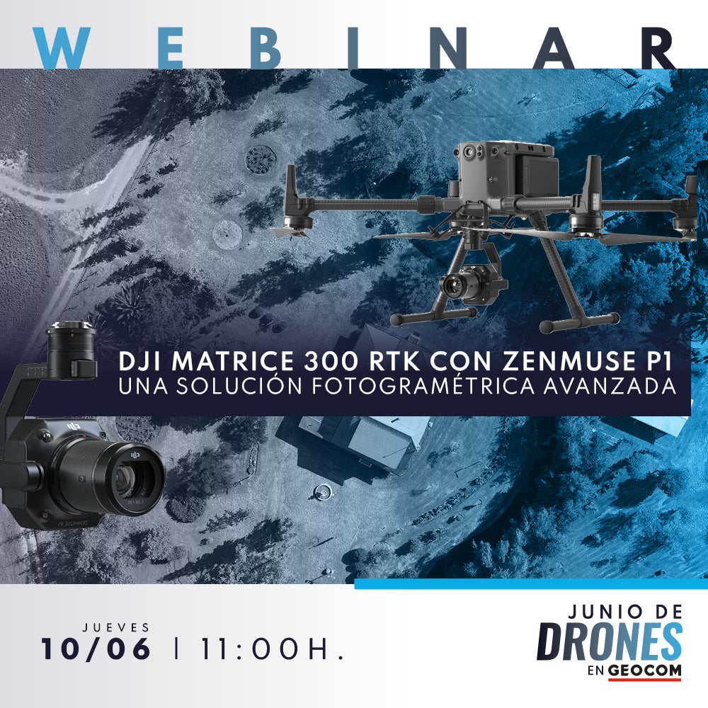

Learn about the new photogrammetric solution comprised of the DJI Matrice 300 RTK multirotor system and DJI's top-of-the-line Zenmuse P1 camera. In this webinar, we will review the features and capabilities of this new advanced solution, describing its complete workflow through a case study.
Thursday, June 10 – 11:00 AM [ Chile ] / VIA ZOOM
AGENDA
- Presentation
- Introduction to photogrammetry
- Photogrammetric principles
- Advantages and disadvantages of photogrammetry
- Camera pose: Referencing in digital photogrammetry (Indirect, direct GNSS, and full direct)
- DJI Matrice 300 RTK with Zenmuse P1
- Performance and safety
- Unmatched photographic quality
- Workflow
- DJI Matrice 300 with PPK
- Powerful and reliable GNSS processing in TBC
- GEOCOM UAS Sync 3.5
- DJI Matrice 300 RTK using NTRIP
- GNSS reference stations and R12i
- Case study


Hernán Álvarez | UAS Application Engineer
Geomatics Execution Engineer from the University of Santiago de Chile. UAS Application Engineer at Geocom, where he stands out for his knowledge in advanced photogrammetry and for providing technical solutions for fixed-wing and rotary-wing equipment. He is certified as an instructor for senseFly and DJI Enterprise line. Since 2019, he began to specialize in Remote Sensing.

Oscar Moreno | UAS Application Engineer
Geomatics Execution Engineer and currently a Master's student in Remote Sensing with extensive experience as a certified instructor pilot for fixed-wing and rotary-wing drones. In the academic field, he has participated as a lecturer and speaker in various higher education institutions.
Since 2014, at GEOCOM, he has worked as a UAS Application Engineer, performing pre-sales, consulting, and support in the planning, execution, and processing of photogrammetric and LiDAR data captured with drones.
Compartir:
WEBINAR | Integrating Phantom 4 RTK into Trimble Business Center's Photogrammetry Module
WEBINAR | Practical experiences with Trimble R12i and SX12