

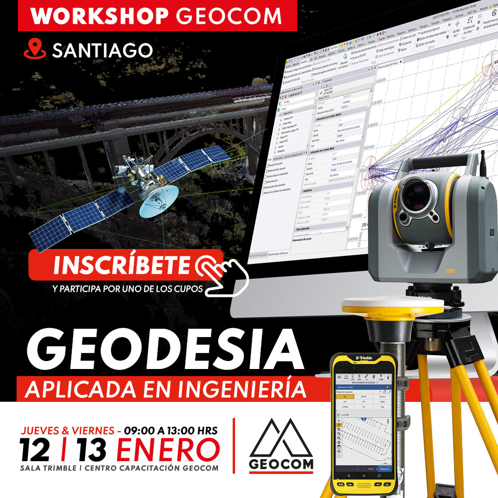

2023 BRINGS GREAT CHALLENGES AT A NATIONAL LEVEL IN THE GEODESIC FIELD. Rather, it is the consolidation of some geodetic aspects that have always been involved in engineering activities, but which are now becoming a necessity in terms of their use and application. We are talking about the adoption of SIRGAS in mining and the use of cartographic projections in engineering works.

 SANTIAGO | JANUARY 12 & 13 | 09:00 AM TO 01:00 PM | GEOCOM TRAINING CENTER - TRIMBLE ROOM
PROGRAM
THURSDAY, JANUARY 12 | Adoption of SIRGAS in mining
| ⨭Generalities of SIRGAS: certified coordinates and use of weekly solutions |
| ⨭Realization epoch and its link with Trimble RTX |
| ⨭Processing GNSS baselines and network adjustment in TBC |
| ⨭General discussion on the technical implementation of SIRGAS-Chile 2021 |
FRIDAY, JANUARY 13 | Use of cartographic projections in engineering works
| ⨭Linear works: use of UTM projection in engineering designs |
| ⨭GNSS vs total station: is it possible to combine observations? |
| ⨭Terrestrial observations and their treatment in TBC |
| ⨭Terrestrial network adjustment |
INSTRUCTORS

José Carrasco | Geocom GNSS & Optical Solutions Specialist
Execution Engineer in Geomatics from UTEM with 21 years of experience. Postgraduate Diploma in Tunnels and Underground Spaces from the University of Chile, Diploma in Information and Communication Technologies for University Teaching from the Autonomous University of Mexico and UTEM. Specialist in Geodesy and Topography applied to engineering and construction projects for mining infrastructure. He has worked as an Engineer at SHOA and CODELCO VP as Geomatics discipline leader for the Andina Project Portfolio, currently as Coordinator of the GEOCOM Support area, integrating geospatial capture techniques into automated deliverables solutions for engineering and construction. Professor at Santo Tomás University for the Mining Civil Engineering and Geology careers.

Felipe Carvajal | Application Engineer
Execution Engineer in Geomatics trained at the University of Santiago de Chile, enthusiastic about the study of geodetic positioning techniques and methods for engineering, passionate about technological development in the area of terrestrial and spatial geodetic sensors. He has a marked interest in technological innovation and data analysis from different observation platforms.

Ariel Silva | Support and Presales Manager
Execution Engineer in Geomatics and Master in Geomatics with experience in the application of geodesy, topography and photogrammetry in engineering works. He has worked in the mining industry directly in open pit mine operations, as well as in academia as a professor at several higher education institutions related to geomatics and geomantics with a specialty in the adjustment of terrestrial and satellite geodetic observations.

Compartir:
UTFSM Concepción | Geospatial Solutions in Infrastructure and Construction
March of GNSS at Geocom | Don't miss our free online courses!