

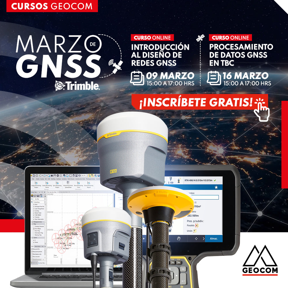

Welcome to GNSS March at Geocom!
We are pleased to announce that throughout March, we will be offering a series of publications, online courses, and events from our Geocom GNSS area. If you are passionate about technology and interested in learning more about global satellite navigation systems, this is the perfect place for you.
Don't miss this unique opportunity to improve your skills and knowledge in GNSS! Register now for our free online courses and start enjoying everything we have prepared for you. We look forward to seeing you!

FREE ONLINE COURSE: INTRODUCTION TO GNSS NETWORK DESIGN
GNSS network design is essential to ensure a correct origin when supporting topographic surveys: a geodetic network is to a topographic survey what a skeleton is to the body. For this reason, it is important to define optimization criteria when designing a geodetic structure. The idea of this brief course is to provide a general motivation regarding GNSS network design.
AGENDA
| ⨭ Reference frames and systems: SIRGAS-Chile 2021 contribution |
| ⨭ Optimization in the geometric design of networks: compatibility between precision and use |
| ⨭ Variance-covariance analysis |
| ⨭ Examples of GNSS networks |

FREE ONLINE COURSE: INTRODUCTION TO GNSS NETWORK DESIGN
📅 THURSDAY, MARCH 16 | 3:00 PM TO 5:00 PM - CHILE | VIA ZOOM & YOUTUBE LIVE
GNSS data processing is no longer an activity limited to processing static GNSS observations. We have seen the emergence of Trimble RTX as well as the inclusion of GNSS RTK baselines, methodologies aimed at improving productivity in different scenarios.
AGENDA
| ⨭ Static vs RTK: when to use RTK in GNSS networks? |
| ⨭ Trimble RTX and its combination with the differential methodology |
| ⨭ Reference epoch and SIRGAS-Chile 2021 in TBC |
| ⨭ Processing examples |
INSTRUCTORS

FELIPE CARVAJAL | Geocom Application Engineer
Execution Engineer in Geomatics trained by the University of Santiago de Chile, with postgraduate studies in Geodetic Sciences in Brazil, currently divides his activities as a researcher, teacher, and application engineer at GEOCOM. Enthusiastic about the study and research of techniques and methods of geodetic positioning for engineering, passionate about technological development in the area of terrestrial and spatial geodetic sensors.

ARIEL SILVA | Geocom Presales and Support Manager
Execution Engineer in Geomatics and Master in Geomatics with experience in the application of geodesy, topography, and photogrammetry in engineering works. He has worked in the mining industry directly in open pit mine operations, as well as in academia as a lecturer in several higher education institutions related to geomatics and geospatial science, specializing in the adjustment of terrestrial and satellite geodetic observations.

Compartir:
WORKSHOP | Applied geodesy in engineering - Santiago
TEMUCO Workshop | The contribution of drones in the Geospatial industry