

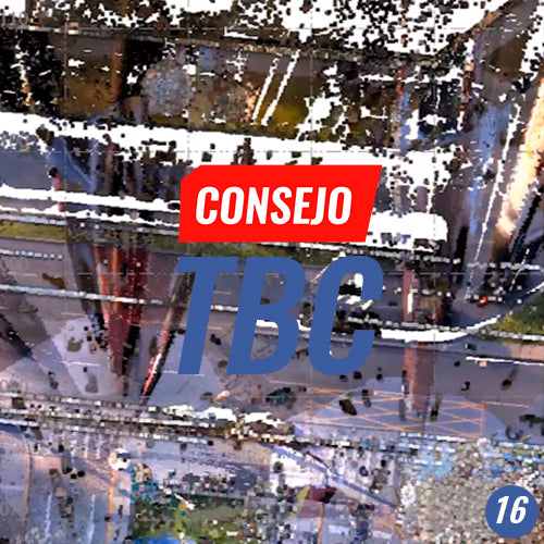
TBC Tip #16 | POINT CLOUD MANAGEMENT TOOLS
Point clouds are here to stay in geospatial data acquisition and processing workflows.
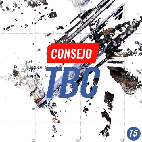
TBC Advice No. 15 | POINT CLOUD REGISTRATION
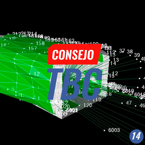
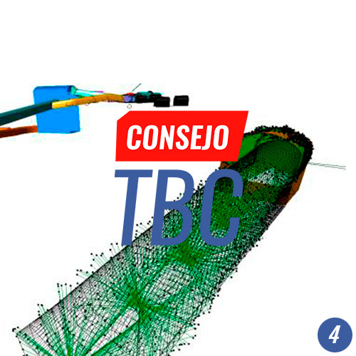
TBC Tip #14 | CONFIGURING A TUNNEL TEMPLATE
Process automation is a key factor in project productivity. The timely delivery of documentation related to the topographic inspection of tunnel construction is critical for decision-making.
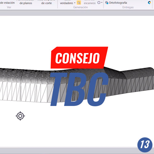
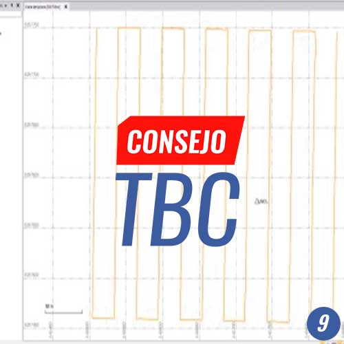
TBC Tip #13 | CREATING A TUNNEL CORRIDOR
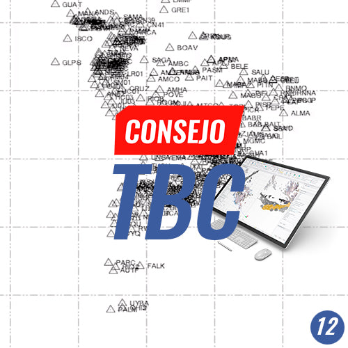
TBC Tip #12 | PROCESSING LONG GNSS BASELINES | GEOCOM GNSS NETWORK CASE STUDY
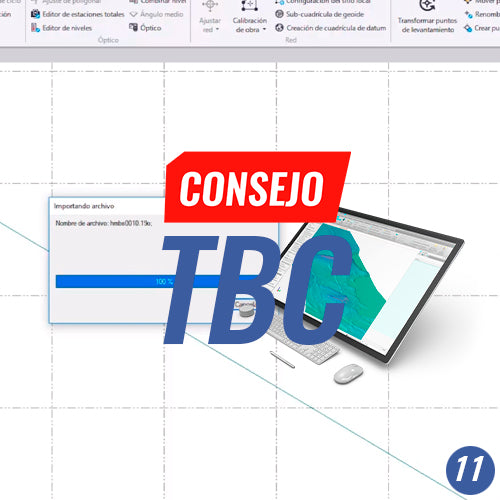
TBC Tip #11 | CONFIGURING AUTOMATIC INTERNET DOWNLOADS: SIRGAS AND GNSS
Configure the download of GNSS observations from reference stations, precise, rapid, and ultra-rapid orbits, as well as Earth orientation parameters to perform high-level GNSS baseline processing.
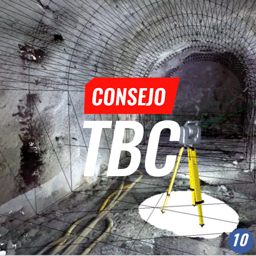
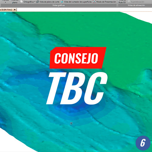
TBC Tip #10 | WORKING WITH LASER SCANNER DATA
TBC Tip #9 | PHOTOGRAMMETRY: DIRECT GEOREFERENCING
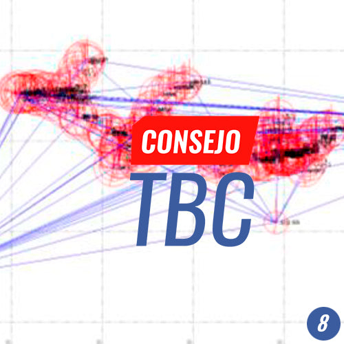
TBC Tip #8 | GNSS Baseline Processing and 3D Network Adjustment
TBC Tip #5 | WORKING WITH FEATURE LIBRARY
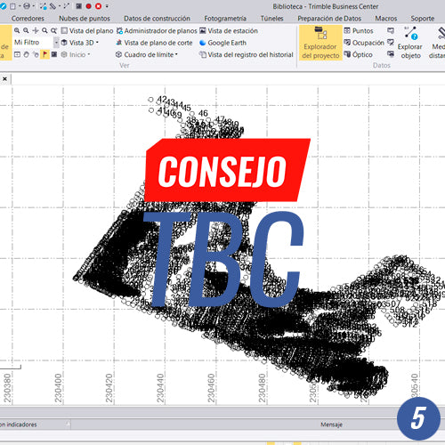
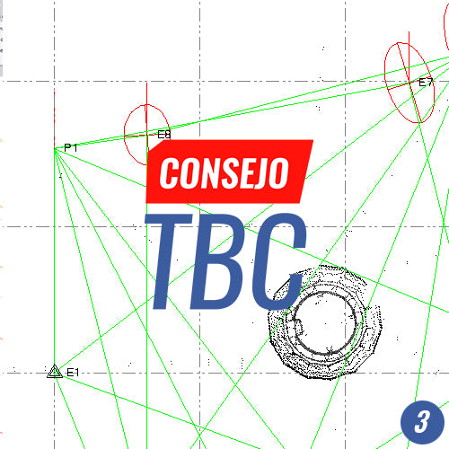
TBC Tip #4 | WORKING WITH TOTAL STATION DATA IN TUNNELS
In this TBC Tip, we will work with discrete capture, meaning data originating from a total station from an excavation topographical control on site. It is also available with point cloud data from a Trimble SX10 or another scanner sensor.
TBC Tip #3 | LEAST SQUARES TRAVERSE ADJUSTMENT
TBC Tip No. 2 | WORKING WITH BROKERS