


Roxana Trujillo Guiñez
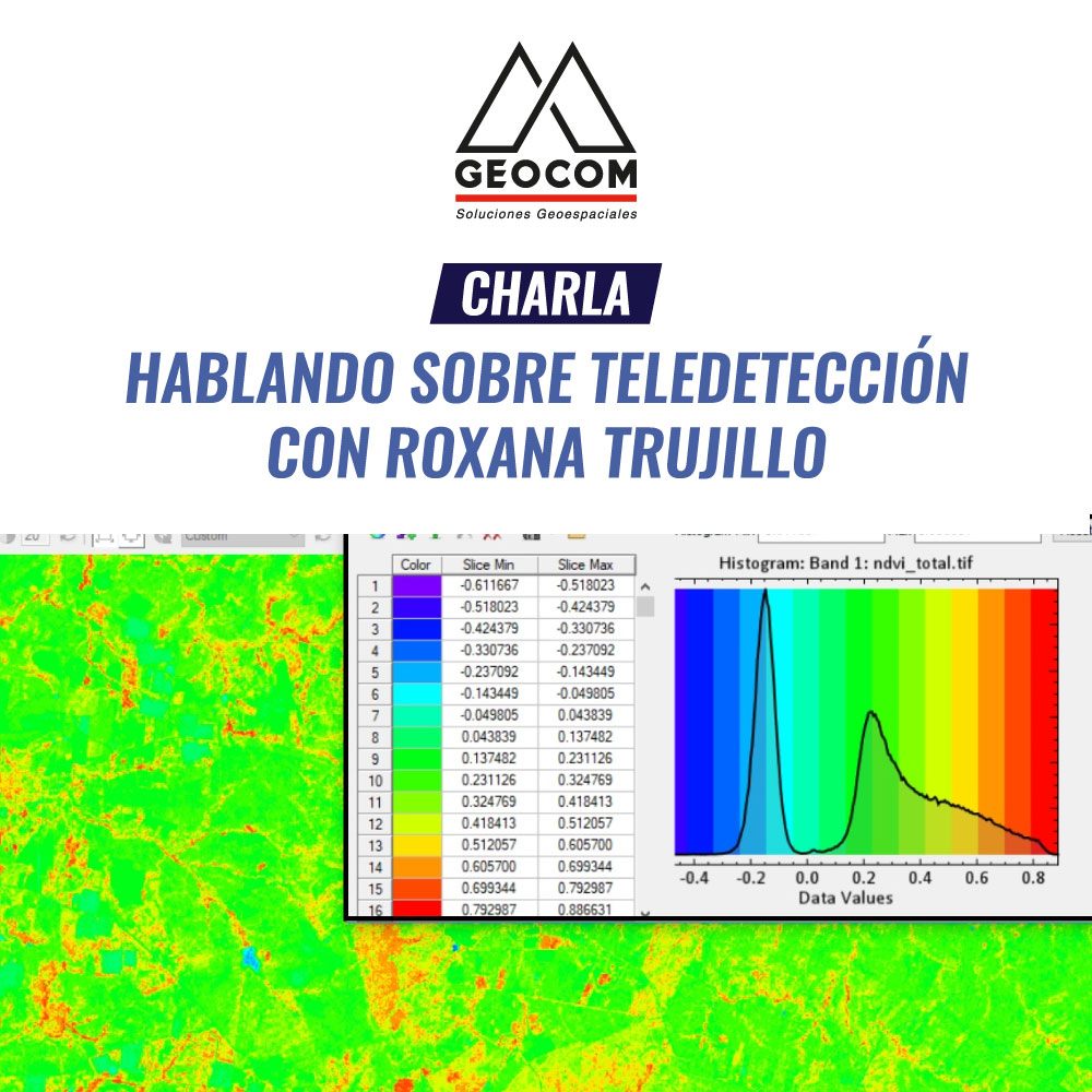
Aerospace Scientist Engineer specializing in Remote Sensors, Satellite Remote Sensing and Geoinformatics with official certifications in satellite image processing and space technology. Trained at the University of Santiago de Chile and at the Federico Santa María Technical University where she is currently also pursuing a PhD in Geoinformatics. Undergraduate professor in multiple national higher education institutions in the field of Geomatics and postgraduate professor in the area of Geotechnology Innovation, water resource management, and applied Hyperspectral processing. Currently, she also works as an external advisor for several national and international companies on geospatial projects, is Director of the Diploma in Advanced Geospatial Data Processing and Coordinator of the Remote Sensing Laboratory at the Federico Santa María Technical University, and Geospatial Projects Engineer at the Center for Mathematical Modeling at the University of Chile. She has participated in multiple remote sensing research projects, working for over 11 years in Ministries and private companies in charge of Geomatics and geospatial data processing for Mining, Agriculture, Forestry, Natural Disasters, and Land Use Planning, among others, specializing in data preprocessing and calibration, Big Data, Territorial Analysis, automated geoalgorithm generation, geospatial variable modeling, advanced management of geographic information systems, geostatistical multivariate analysis, high-precision digital elevation models and thematic cartography, among others.
TOPICS
- What is remote sensing?
- Problems to be solved by remote sensing
- Interaction of remote sensing with engineering
- Drones vs. satellites
Compartir:
Technical Talk | Talking about Geoidal Models with Henry Montecino
Technical Talk | Talking about teaching in Geomatics