


Photogrammetry has been defined by the ISPRS as a science capable of making reliable measurements and interpretations through photographs, obtaining from them metric and geometric characteristics of the photographed object. Currently, photogrammetry has greatly contributed to data acquisition for topographic representation at different scales.
In all of the above, Unmanned Aerial Systems (UAS) of both fixed-wing and rotary-wing types have been the central element in strengthening modern photogrammetry, becoming a widely used technique in the topographic field over the last decade.
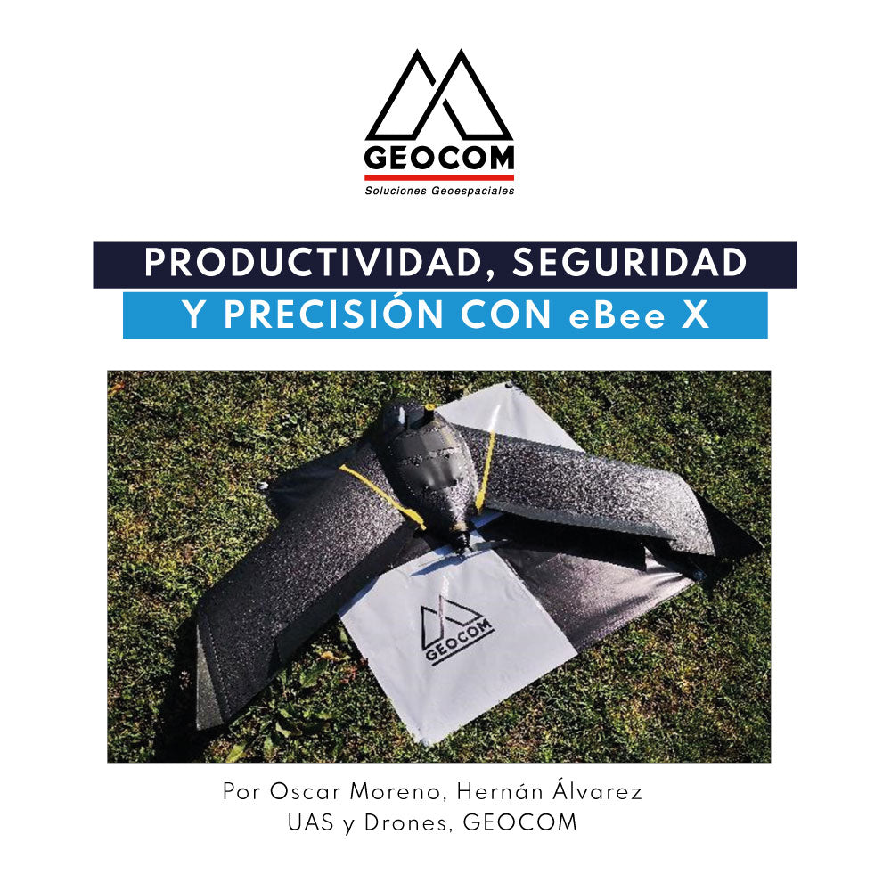
Our senseFly eBee X is a fixed-wing UAS that stands out for its construction similar to a conventional aircraft, as it has a familiar structure equipped with an engine.
Its main advantages are the following:
● More efficient aerodynamics
● Higher travel speed
● Larger survey area
● Greater autonomy and productivity

The great productivity and representativeness obtained with the eBee X is due to its efficient aerodynamic design, which allows it to cover large areas of land in a shorter period of time. Its modular design also makes it a multi-sensor UAS, allowing the operator to choose the camera that best suits the project conditions. Among its wide range, we highlight the Aeria X, S.O.D.A, RedEdge MX, and Duet T cameras.
Regarding data referencing, let's remember that there are two types of UAS: those with direct referencing and those with indirect referencing. The difference between the two lies in how the camera pose is determined. The pose consists of three position parameters (X, Y, Z) and three orientation parameters (Yaw, Pitch, and Roll).
In simple terms, for equipment with indirect referencing, since the camera pose is determined relatively, ground control points (GCPs) will be required to anchor the coordinates of the aerial triangulated block.
On the other hand, equipment with direct referencing, such as the eBee X, will eliminate the need for GCPs, as the three position parameters of the pose will be precisely known. Direct referencing, strictly speaking, is an aerotriangulation with a smaller number of unknowns, where only the three orientation parameters are unknown.
In the following article, we will show our eBee X in detail, detailing its operational workflow in a practical experience, focusing on productivity, operational safety, and obtained precision.
Study Area
This case study was carried out in the municipality of Padre Hurtado, Metropolitan Region, with an average elevation of 400 m.a.s.l.
A geodetic link was made to the active station SNTI of the GEOCOM network, which is 30 km away from the flight polygon.

The study area comprises a flight polygon with an extent of 350 Ha.
Methodology
The eBee X is a modular, robust, versatile, and multipurpose piece of equipment with a wingspan of 116 cm and a weight of 1.4 kg. Its belly landing is very precise, making it suitable for confined spaces. Additionally, its expanded polypropylene body provides, unlike other fixed-wing UAS, great resistance to impacts caused during this stage of flight.
The eBee X is capable of covering large areas in a single flight, due to its efficient aerodynamic design in conjunction with its endurance batteries, which allow for a longer flight time —up to 90 minutes of autonomy— which greatly surpasses rotary-wing UAS, being 8 to 10 times more productive.
To access the detailed document on Productivity, safety, and precision with eBee X | UAS GEOCOM, you must fill out the following form. Upon completion of your registration, an email with the GEOCOM success story inside will be automatically sent.
DOWNLOAD FULL SUCCESS STORY
Compartir:
Introduction to the World of LiDAR with the GENIUS Mini UAV LiDAR System