

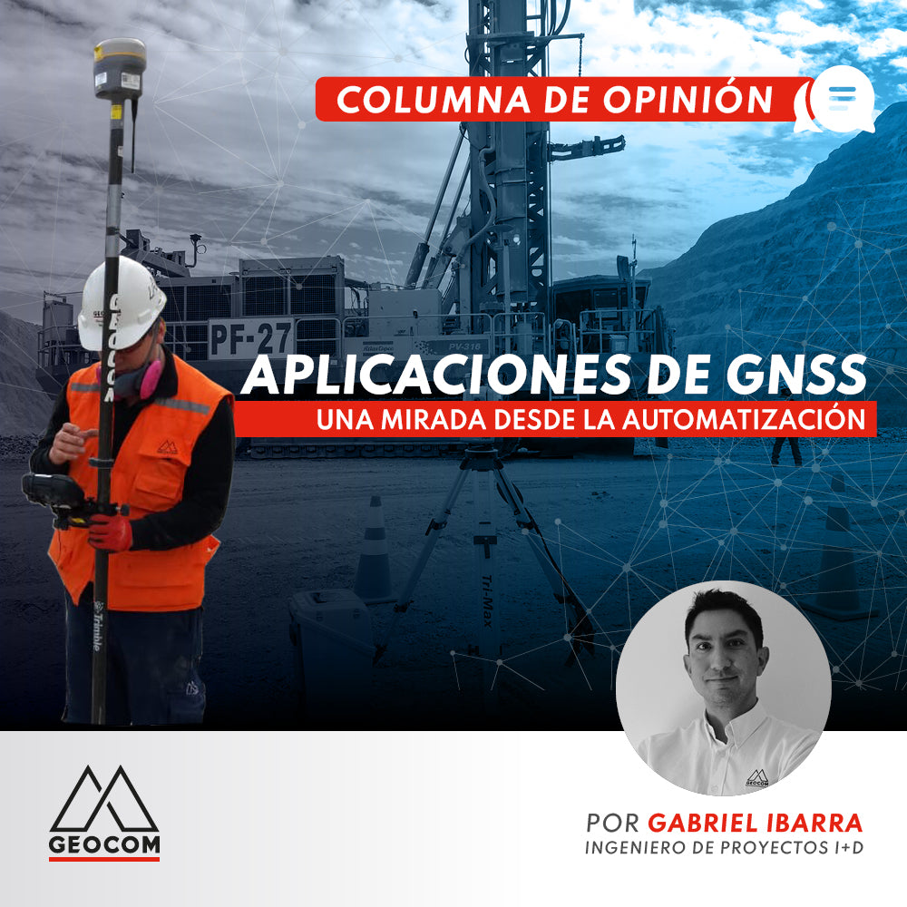

Today, the implementation of technologies to reduce personnel exposure at the mine's working face is a necessity both for worker safety and increased productivity. This requires the integration of GNSS technology with a high level of availability for its implementation. A significant challenge in the current scenario.
I remember years ago when I applied to GEOCOM and went for the interview. I didn't understand why a company related to the geospatial field was looking for a Civil Electrical Engineer. Mr. Héctor Contreras, known by many as "the Professor", took the time to explain a bit to this then-recently graduated young man how a high-precision GPS works and what could be achieved.
From an industrial process perspective, an HP-GPS is a position sensor with a centimeter-level precision coordinate output that can be integrated into a processing algorithm in a PLC (programmable logic controller) to command motors and actuators and display the process on an HMI (human-machine interface). That opened up a world of possibilities for me.
HP-GPS positioning has been integrated into various mining processes. Initially in the automation of stacking areas, spreaders, and bucket wheel excavators. These are continuous processes with programmed movement routines, and as they are on the surface, they always had good satellite signal availability due to their open sky view, ideal for GPS.
Today, even though open pits are deeper and slopes are more vertical, limiting satellite tracking and increasing multipath problems, we see the incorporation of automation in an increasing number of machines: drills, shovels, loaders, and haul trucks, thanks to technology that has managed to overcome these challenges and provide better availability even in more difficult environments.
Some time ago, I read an interview with Juan David Rayo, Director of Minnovex, in which he commented that mining was our NASA. In GEOCOM's R&D Area, we share that view, seeing that the global industry can provide us with some of the answers, but mining has specific requirements for which there simply is no solution, making it necessary to develop it locally. This has created an ecosystem between mining companies and their suppliers from which innovative technological solutions emerge, positioning our mining industry as a hub of technological development.
For machine automation purposes, the key factor is availability: how long high precision can be maintained without interruption. In this complex environment with limited sky view, it is challenging because for a process that depends on GNSS positioning, just a 1% loss of availability means 15 minutes of machine downtime daily.
How to face the challenge? In GEOCOM's R&D area, we have developed systems to support the different stages of automation system implementation. The first step is to structure the communication architecture, then high precision must be prepared, for which two basic ingredients are required: satellite signals and a differential correction signal.
Satellite reception performs better when we use receivers that can integrate signals from different constellations and with different frequencies. The GNSS engine of the receiver is key in this and is validated with coverage studies we conduct in the field, ensuring project success.
The correction signal, in this case differential correction, is emitted from the heart of the HP-GPS system: the reference station. The differential correction must be transmitted through a reliable and redundant channel, with transmission over the mine network with UHF channel backup being the best option.
There are many parameters that, if monitored, can anticipate a failure, such as communication latency, tracked satellite index, temperature, and voltage, among others. For this, in the GEOCOM R&D Area, we developed a centralized receiver monitoring platform with which the vital parameters of each receiver on each machine are monitored. This allows us to achieve very high availability, a rapid response to incidents, and consequently the highest productivity of the mining operations we support.
Written by: Gabriel Ibarra - R&D Project Engineer Geocom

Compartir:
New Trimble Realworks 12
UAS Master Photogrammetric Software