

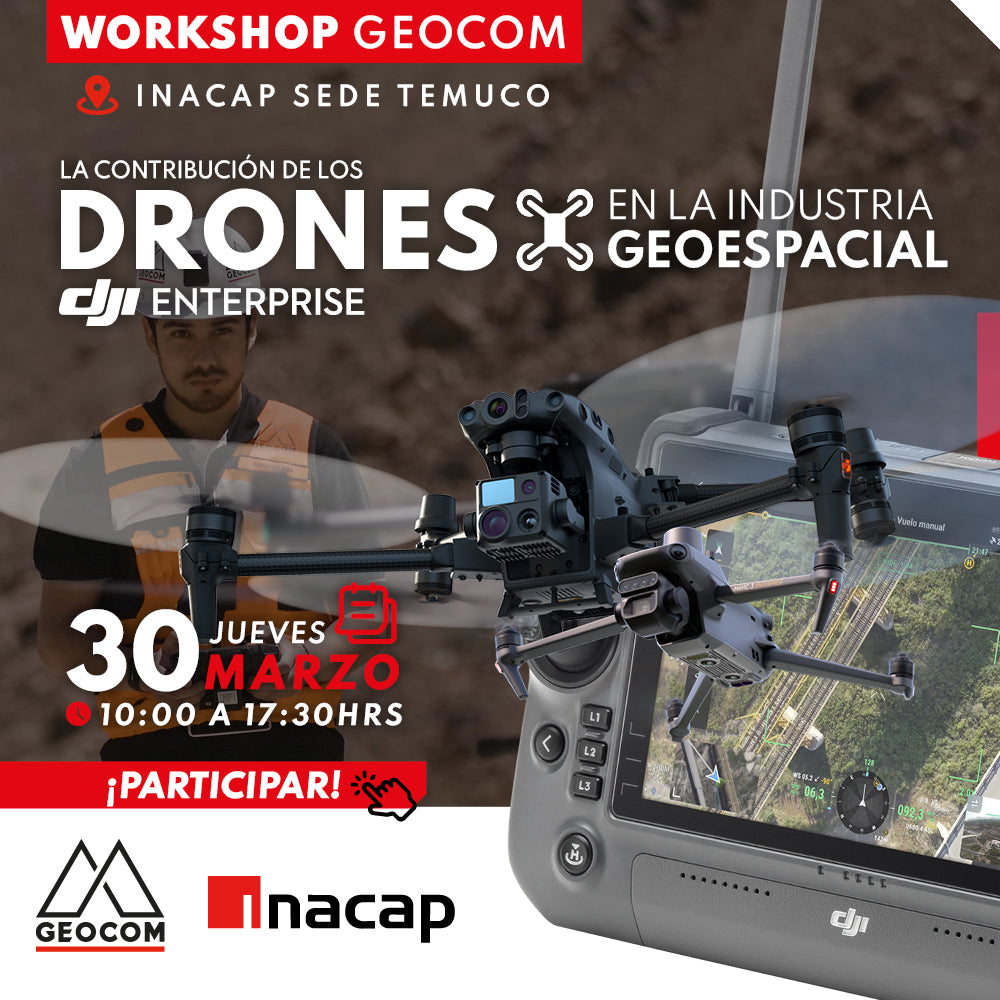

We invite you to participate in the UAS Workshop | The contribution of Drones in the Geospatial industry!
In the last decade, drones have positioned themselves in the geospatial industry, thanks to the innumerable benefits they offer in terms of increased productivity, operational safety, as well as sensor versatility: RGB for photogrammetry and inspection, LiDAR, multispectral, thermal, among others.
In this Workshop developed by GEOCOM, we will show the main novelties of the UAS portfolio, detailing best practices for operation, comparisons between software, and their general contribution in various applications and industries. We look forward to seeing you!

📅 THURSDAY, MARCH 30TH | 10:00 AM TO 5:30 PM | INACAP AUDITORIUM TEMUCO CAMPUS - AV. LUIS DURAND 02150, TEMUCO

AGENDA
| 10:00 to 10:45 | ⨭ UAS product portfolio |
| 10:45 to 11:45 | ⨭ RTK direct referencing in drones |
| 12:00 to 13:00 | ⨭ Photogrammetric best practices |
| 13:00 to 14:30 | ⨭ Lunch (*Not included) |
| 14:30 to 15:15 | ⨭ News on LiDAR flight acquisition and processing |
| 15:15 to 16:00 | ⨭ Comparison between photogrammetric and LiDAR software |
| 16:00 to 17:00 | ⨭ Use of drones in inspection |
| 17:00 to 17:30 | ⨭ Questions, discussion, and delivery of solutions to our clients' practical problems |
INSTRUCTORS

CRISTIAN MICHELL | Geocom UAS Product Manager
Execution Engineer in Geomatics from USACH, graduated in 2006, since which he has worked in his profession in various areas of national industry, especially in mining. In 2011 he joined GEOCOM, and since 2012 he has held the position of UAS (Unmanned Aerial Systems) Product Manager. He is responsible for the commercialization of these equipment, dissemination of this technology, demonstrations, evaluation, and execution of aerial survey services. He has extensive experience in the operation of fixed-wing and rotary-wing UAS equipment, and in the processing of photogrammetric data.

OSCAR MORENO | UAS & Drone Solutions Specialist
A professional passionate about the use of Unmanned Aerial Systems equipped with RGB, LiDAR, Thermal, Multispectral, and other photogrammetric sensors.
Execution Engineer in Geomatics and MSc in remote sensing with extensive experience as a certified instructor pilot for fixed-wing and rotary-wing drones. In the academic field, he has participated as a lecturer and speaker in various higher education institutions. Since 2014, at GEOCOM, he has worked as a UAS Application Engineer performing pre-sales, consulting, and support in the planning, execution, and processing of photogrammetric and LiDAR data captured with drones. In 2021, he became UAS Support Coordinator, responsible for managing consulting, training, and after-sales support for GEOCOM clients in the area.
REGISTRATION

Compartir:
March of GNSS at Geocom | Don't miss our free online courses!
[CALAMA] Workshop | Digital Construction