

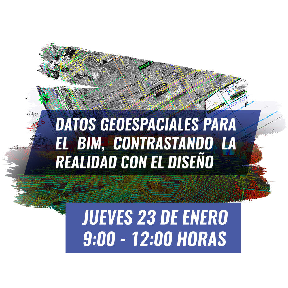

We want to invite you to learn about Geospatial data capture techniques that can enrich your BIM process for projects. Techniques such as Laser Scanner and aerial photogrammetry capture, construction materialization, and monitoring using BIM models will provide you with detailed information about the reality of your project, allowing you to make better decisions, saving time and resources on your project.
Program
Thursday, January 23, 2020 | 22nd Floor CDT |
Av. Apoquindo 6750, Las Condes, Metropolitan Region
9:00 – 9:10
Accreditation
9:10 – 9:30
What is Geospatial data and how does it help us with BIM?

Rafael Bombardiere | Infrastructure solutions specialist | Architect
Learn what Geospatial data is, how you can obtain it, and the benefits it brings to your organization to have it.
9:30 – 10:30
Evolution of Topographic Surveys in Construction

José Carrasco | Support coordinator | Geodesy engineer
Since the beginning of civilization, topographic surveys have been a basis for the project process. We want you to learn about the evolution of Geospatial data acquisition and use techniques for construction up to the present day.
10:30 – 11:00 Coffee break
11:00 -11:30
Laser to BIM, modeling and inspecting reality in BIM environments

Sebastián Pérez | Application Engineer | Geodesy execution engineer
The laser scanner provides us with validated and precise information about reality. We want to share our experience modeling and inspecting from reality to streamline and validate project processes.
11:30 – 12:00
Materialization of construction using BIM models

Rafael Bombardiere | Infrastructure solutions specialist | Architect
By using topographic instruments and BIM models, the construction materialization process can be automated, maintaining the precision and integrity of the work.
LOCATION |
Av. Apoquindo 6750, Las Condes, Metropolitan Region | 22nd Floor CDT.
Compartir:
GEOCOM Course | TOPOGRAPHIC DRAWING AND DESIGN IN TBC
Expomin 2020 | GEOCOM