

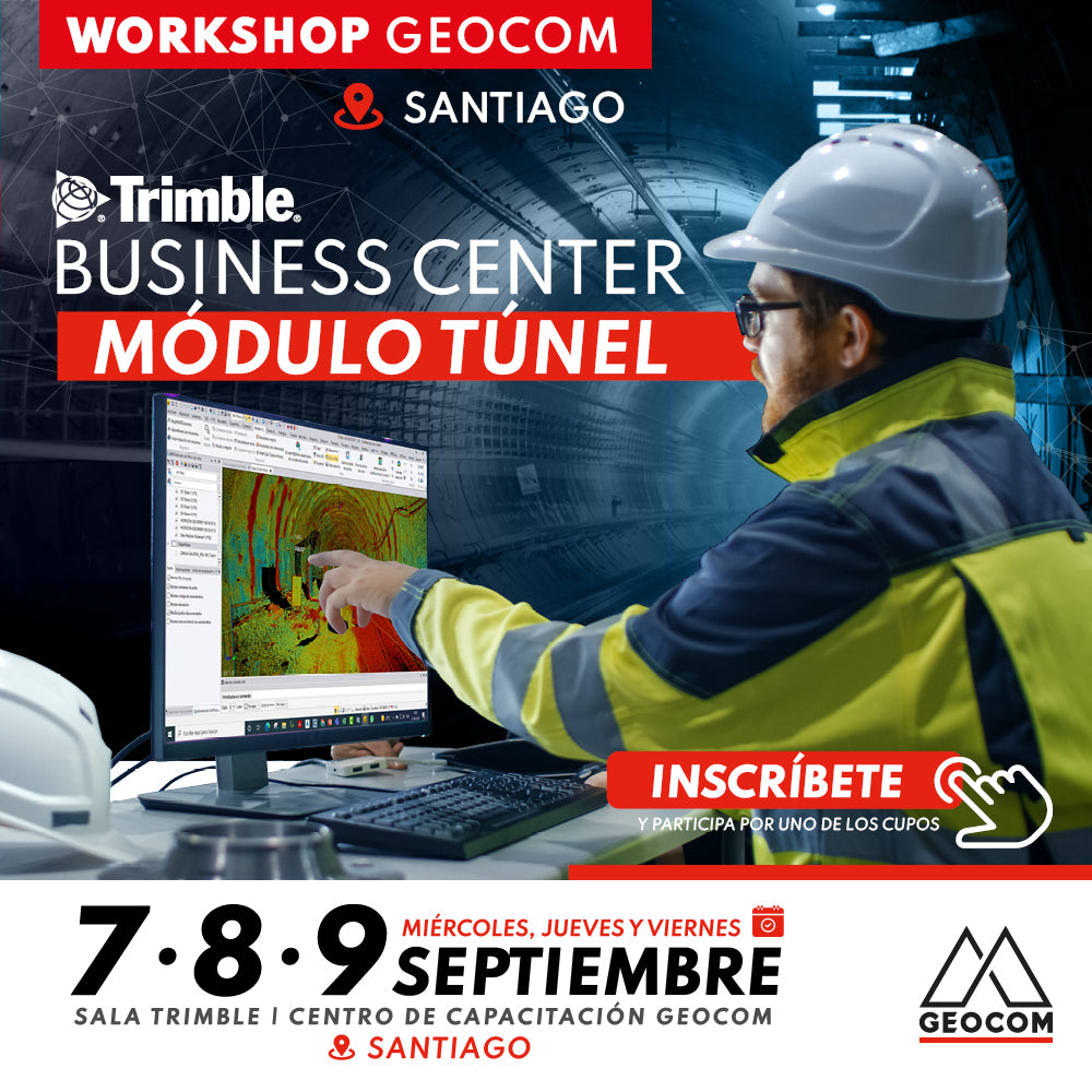

Process automation is a key factor in project productivity. Timely documentation related to the topographic inspection of tunnel construction is paramount in decision-making. An automated format for reporting the excavation status of a tunnel project allows for the documentation of field inspection records, either by total station or a scanner sensor, such as Trimble SX10, TX8, or from another sensor in point cloud format, all associated with the TBC and Drafting tunnel module. This course is aimed at engineers specializing in topography or any professional with an understanding of the tunnel area.
GALLERY

 SANTIAGO | SEPTEMBER 7, 8 AND 9 | 09:00 AM TO 05:00 PM | GEOCOM TRAINING CENTER (AV. SALVADOR 1105, PROVIDENCIA)
PROGRAM
| ⨭ TBC Training Presentation - Tunnel Module |
| ⨭ Fast processing with the use of a configured template |
| ⨭ Tunnel design definition |
| ⨭ Data preparation |
| ⨭ Tunnel inspection |
| ⨭ Shotcrete inspection |
| ⨭ Reports |
| ⨭ Tunnel tools |
| ⨭ CAD Reports, Longitudinal and Transverse Profile |
| ⨭ Convergence monitoring |
REQUIREMENTS
✓ Trimble Business Center License
✓ Microsoft® Windows® 10/8 (64-bit version)
✓ Intel quad-core at 2.80 GHz or higher (additional cores with Hyper-Threading support)
✓ RAM 32 GB or more for aerial photogrammetry, mobile mapping, and scanning workflows
✓ Graphics card of 8 GB or higher (NVIDIA Quadro P4000 or similar)
INSTRUCTORS

José Carrasco | GNSS & Optical Solutions Specialist Geocom
Execution Engineer in Geomatics UTEM, specialist in geodesy and topography applied to mining infrastructure engineering projects. Experience in open-pit mine planning, Geotechnics, Assembly and Underground mining, participation in highway infrastructure projects and part of the Hydrographic Survey Department team at SHOA. Extensive experience in geospatial solutions. Postgraduate diploma in tunnels and underground spaces from the University of Chile, and diploma in ICT for university teaching UTEM and UNAM. Since 2017, he leads the Optical and GNSS Support area at GEOCOM.

Sebastián Pérez | Application Engineer
Execution Engineer in Geomatics from the University of Santiago de Chile, with 8 years of experience, specializing in LiDAR technology for terrestrial solutions. Also in point cloud processing software. He has extensive experience in the use of Optical and GNSS solutions.

Compartir:
Workshop | TBC Tunnel - Copiapó and Calama
UTFSM Concepción | Geospatial Solutions in Infrastructure and Construction